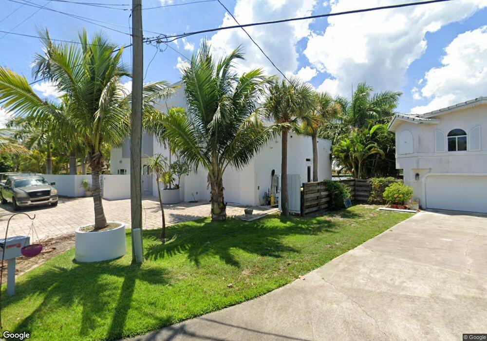
1510 Bayshore Dr Cocoa Beach, FL 32931
Estimated Value: $817,000 - $2,035,000
3
Beds
2
Baths
1,862
Sq Ft
$822/Sq Ft
Est. Value
About This Home
This home is located at 1510 Bayshore Dr, Cocoa Beach, FL 32931 and is currently estimated at $1,530,057, approximately $821 per square foot. 1510 Bayshore Dr is a home located in Brevard County with nearby schools including Theodore Roosevelt Elementary School, Cocoa Beach Junior/Senior High School, and Cocoa Beach Christian School.
Ownership History
Date
Name
Owned For
Owner Type
Purchase Details
Closed on
Apr 5, 2023
Sold by
Sanders-Reeves Family Revocable Trust
Bought by
Jahr John J and Malde Bhavna
Current Estimated Value
Purchase Details
Closed on
Feb 26, 2014
Sold by
Reeves Sigurd R and Sanders Lisa Marie B
Bought by
Sanders Reeves Family Trust
Purchase Details
Closed on
May 26, 2010
Sold by
Maggio Diane Marko and Marko Lawrence A
Bought by
Reeves Sigurd R and Sanders Lisa Marie B
Create a Home Valuation Report for This Property
The Home Valuation Report is an in-depth analysis detailing your home's value as well as a comparison with similar homes in the area
Home Values in the Area
Average Home Value in this Area
Purchase History
| Date | Buyer | Sale Price | Title Company |
|---|---|---|---|
| Jahr John J | $375,000 | Landmark Title | |
| Sanders Reeves Family Trust | -- | Attorney | |
| Reeves Sigurd R | $225,000 | Island Title & Escrow Corp |
Source: Public Records
Tax History Compared to Growth
Tax History
| Year | Tax Paid | Tax Assessment Tax Assessment Total Assessment is a certain percentage of the fair market value that is determined by local assessors to be the total taxable value of land and additions on the property. | Land | Improvement |
|---|---|---|---|---|
| 2025 | $8,574 | $735,140 | -- | -- |
| 2024 | $8,557 | $714,430 | -- | -- |
| 2023 | $8,557 | $693,630 | $0 | $0 |
| 2022 | $7,980 | $673,430 | $0 | $0 |
| 2021 | $8,287 | $653,820 | $0 | $0 |
| 2020 | $8,263 | $644,800 | $0 | $0 |
| 2019 | $8,256 | $630,310 | $0 | $0 |
| 2018 | $8,326 | $618,560 | $0 | $0 |
| 2017 | $8,490 | $605,840 | $0 | $0 |
| 2016 | $8,707 | $593,380 | $255,000 | $338,380 |
| 2015 | $9,031 | $589,260 | $230,000 | $359,260 |
| 2014 | $9,123 | $584,590 | $230,000 | $354,590 |
Source: Public Records
Map
Nearby Homes
- 1441 Bayshore Dr
- 1529 Bayshore Dr
- 2050 S Atlantic Ave
- 1525 S Atlantic Ave Unit 401
- 1527 S Atlantic Ave Unit 201
- 1563 S Atlantic Ave Unit 13
- 30 Indian Village Trail
- 1630 S Atlantic Ave
- 1700 S Atlantic Ave Unit 104
- 1790 Bayshore Dr
- 1305 S Atlantic Ave Unit 350
- 1305 S Atlantic Ave Unit 450
- 1279 S Orlando Ave Unit 4A
- 1277 S Orlando Ave Unit 4B
- 2001 Julep Dr Unit 206- 3rd Floor
- 2021 S Orlando Ave
- 1251 S Atlantic Ave Unit 403
- 2022 Julep Dr Unit 304
- 1181 S Atlantic Ave
- 1132 & 1134 S Brevard Ave
- 1500 Bayshore Dr
- 1520 Bayshore Dr
- 1505 Bayshore Dr
- 1495 Bayshore Dr
- 1513 Bayshore Dr
- 1485 Bayshore Dr
- 1480 Bayshore Dr
- 1530 Bayshore Dr
- 1515 Bayshore Dr
- 1492 S Orlando Ave
- 1465 Bayshore Dr
- 1517 Bayshore Dr
- 1490 S Orlando Ave
- 1540 Bayshore Dr
- 1470 Bayshore Dr
- 196 S 15th St
- 194 S 15th St
- 192 S 15th St
- 1505 S Orlando Ave
- 1507 S Orlando Ave