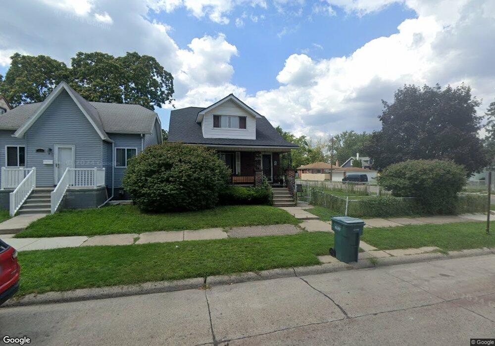
1510 Empire Ave Lincoln Park, MI 48146
Estimated Value: $143,000 - $168,388
4
Beds
2
Baths
1,200
Sq Ft
$129/Sq Ft
Est. Value
About This Home
This home is located at 1510 Empire Ave, Lincoln Park, MI 48146 and is currently estimated at $154,347, approximately $128 per square foot. 1510 Empire Ave is a home located in Wayne County with nearby schools including Raupp Elementary School, Lincoln Park Middle School, and Lincoln Park High School.
Ownership History
Date
Name
Owned For
Owner Type
Purchase Details
Closed on
Jun 18, 2009
Sold by
Jpmorgan Chase Bank National Association
Bought by
Federal National Mortgage Association
Current Estimated Value
Purchase Details
Closed on
Jun 17, 2009
Sold by
Mcbride Jimmy N and Mcbride Lisa D
Bought by
Jpmorgan Chase Bank National Association and Washington Mutual Bank
Purchase Details
Closed on
May 13, 2002
Sold by
Crawford Alfred
Bought by
Mcbride Jimmy N
Purchase Details
Closed on
Nov 11, 1997
Sold by
Department Of Natural Re
Bought by
Crawford Alfred
Create a Home Valuation Report for This Property
The Home Valuation Report is an in-depth analysis detailing your home's value as well as a comparison with similar homes in the area
Home Values in the Area
Average Home Value in this Area
Purchase History
| Date | Buyer | Sale Price | Title Company |
|---|---|---|---|
| Federal National Mortgage Association | -- | None Available | |
| Jpmorgan Chase Bank National Association | $63,124 | None Available | |
| Mcbride Jimmy N | $60,000 | -- | |
| Crawford Alfred | -- | -- |
Source: Public Records
Tax History Compared to Growth
Tax History
| Year | Tax Paid | Tax Assessment Tax Assessment Total Assessment is a certain percentage of the fair market value that is determined by local assessors to be the total taxable value of land and additions on the property. | Land | Improvement |
|---|---|---|---|---|
| 2025 | $1,446 | $81,800 | $0 | $0 |
| 2024 | $1,446 | $73,700 | $0 | $0 |
| 2023 | $1,371 | $62,000 | $0 | $0 |
| 2022 | $1,622 | $52,700 | $0 | $0 |
| 2021 | $1,587 | $46,300 | $0 | $0 |
| 2020 | $1,776 | $41,500 | $0 | $0 |
| 2019 | $1,242 | $33,500 | $0 | $0 |
| 2018 | $1,119 | $27,600 | $0 | $0 |
| 2017 | $835 | $27,500 | $0 | $0 |
| 2016 | $1,491 | $27,600 | $0 | $0 |
| 2015 | $2,720 | $27,200 | $0 | $0 |
| 2013 | $2,900 | $30,300 | $0 | $0 |
| 2012 | $1,808 | $31,300 | $6,700 | $24,600 |
Source: Public Records
Map
Nearby Homes
- 1529 Grant Ave
- 1581 Empire Ave
- 1459 Pingree Ave
- 1363 Empire Ave
- 776 Cleophus Pkwy
- 650 Cleophus Pkwy
- 1375 Wilson Ave
- 1622 Wilson Ave
- 1321 Applewood Ave
- 637 Park Ave
- 764 White Ave
- 1257 Applewood Ave
- 1673 Ferris Ave
- 1326 Marion Ave
- 1473 Austin Ave
- 880 White Ave
- 1554 Austin Ave
- 557 White Ave
- 568 Garfield Ave
- 615 Garfield Ave
- 1514 Empire Ave
- 1518 Empire Ave
- 1522 Empire Ave
- 1470 Empire Ave
- 1507 Grant Ave
- 1513 Grant Ave
- 1528 Empire Ave
- 1517 Grant Ave
- 1505 Empire Ave
- 1519 Empire Ave
- 1527 Grant Ave
- 1462 Empire Ave
- 1534 Empire Ave
- 1525 Empire Ave
- 1529 Empire Ave
- 1538 Empire Ave Unit Bldg-Unit
- 1538 Empire Ave
- 1473 Grant Ave
- 1465 Grant Ave
- 1469 Empire Ave