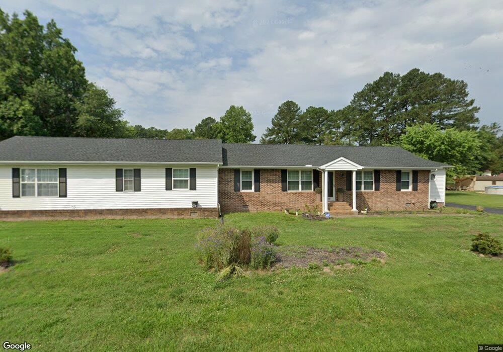
1510 Esquire Dr Salisbury, MD 21801
North Salisbury NeighborhoodEstimated Value: $279,000 - $384,000
Studio
3
Baths
2,596
Sq Ft
$129/Sq Ft
Est. Value
About This Home
This home is located at 1510 Esquire Dr, Salisbury, MD 21801 and is currently estimated at $335,169, approximately $129 per square foot. 1510 Esquire Dr is a home located in Wicomico County with nearby schools including West Salisbury Elementary School, North Salisbury Elementary School, and Salisbury Middle School.
Ownership History
Date
Name
Owned For
Owner Type
Purchase Details
Closed on
Mar 14, 1988
Sold by
Purnell Katrina A
Bought by
Pinkett Gregory W and Pinkett Shirley A
Current Estimated Value
Home Financials for this Owner
Home Financials are based on the most recent Mortgage that was taken out on this home.
Original Mortgage
$46,800
Interest Rate
9.96%
Purchase Details
Closed on
Jan 24, 1984
Sold by
Stone Cornilius J
Bought by
Purnell Katrina A
Home Financials for this Owner
Home Financials are based on the most recent Mortgage that was taken out on this home.
Original Mortgage
$43,600
Interest Rate
13.35%
Purchase Details
Closed on
Sep 2, 1977
Sold by
Holt Jerry C
Bought by
Stone Cornilius J
Home Financials for this Owner
Home Financials are based on the most recent Mortgage that was taken out on this home.
Original Mortgage
$16,000
Interest Rate
8.88%
Create a Home Valuation Report for This Property
The Home Valuation Report is an in-depth analysis detailing your home's value as well as a comparison with similar homes in the area
Home Values in the Area
Average Home Value in this Area
Purchase History
| Date | Buyer | Sale Price | Title Company |
|---|---|---|---|
| Pinkett Gregory W | $52,000 | -- | |
| Purnell Katrina A | $45,900 | -- | |
| Stone Cornilius J | $17,000 | -- |
Source: Public Records
Mortgage History
| Date | Status | Borrower | Loan Amount |
|---|---|---|---|
| Closed | Pinkett Gregory W | $46,800 | |
| Previous Owner | Purnell Katrina A | $43,600 | |
| Previous Owner | Stone Cornilius J | $16,000 |
Source: Public Records
Tax History
| Year | Tax Paid | Tax Assessment Tax Assessment Total Assessment is a certain percentage of the fair market value that is determined by local assessors to be the total taxable value of land and additions on the property. | Land | Improvement |
|---|---|---|---|---|
| 2025 | $1,870 | $218,700 | $0 | $0 |
| 2024 | $1,857 | $198,100 | $0 | $0 |
| 2023 | $1,771 | $177,500 | $17,700 | $159,800 |
| 2022 | $1,839 | $174,600 | $0 | $0 |
| 2021 | $1,801 | $171,700 | $0 | $0 |
| 2020 | $1,801 | $168,800 | $17,700 | $151,100 |
| 2019 | $1,788 | $165,133 | $0 | $0 |
| 2018 | $1,758 | $161,467 | $0 | $0 |
| 2017 | $1,720 | $157,800 | $0 | $0 |
| 2016 | -- | $154,800 | $0 | $0 |
| 2015 | $1,349 | $151,800 | $0 | $0 |
| 2014 | $1,349 | $148,800 | $0 | $0 |
Source: Public Records
Map
Nearby Homes
- 28570 Ocean Gateway
- 0 N Delano Ave Unit MDWC2010148
- 0 S Delano Ave
- 813 Marquis Ave
- 1023 Marquis Ave
- 1019 Marquis Ave
- 827 Marquis Ave
- 1201 Shawnee Ave
- 1201 Tuscola Ave
- 907 Marquis Ave
- 0 Queen Ave Unit MDWC2006982
- 1712 Severn St
- Lot C2 International Dr
- 1817 Ocean Shore Ln
- Lot B6 Westwood Dr
- Lot B7 Westwood Dr
- Lot D5 International Dr
- 906 Powhatan Blvd
- 0 Morris St
- 806 Mohawk Ave
Your Personal Tour Guide
Ask me questions while you tour the home.