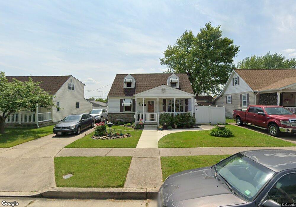
1510 Leslie Rd Dundalk, MD 21222
Estimated Value: $248,000 - $271,000
--
Bed
1
Bath
1,080
Sq Ft
$238/Sq Ft
Est. Value
About This Home
This home is located at 1510 Leslie Rd, Dundalk, MD 21222 and is currently estimated at $256,834, approximately $237 per square foot. 1510 Leslie Rd is a home located in Baltimore County with nearby schools including Norwood Elementary School, Holabird Middle School, and Dundalk High School.
Ownership History
Date
Name
Owned For
Owner Type
Purchase Details
Closed on
Oct 4, 2018
Sold by
Dombrosky Richard A and Dombrosky Patricia A
Bought by
Dombrosky Richard A and Dombrosky Patricia A
Current Estimated Value
Purchase Details
Closed on
Nov 20, 2003
Sold by
Dombrosky Patricia
Bought by
Dombrosky Richard A and Dombrosky Patricia A
Purchase Details
Closed on
Aug 30, 1995
Sold by
Thompson Richard M
Bought by
Dombrosky Richard
Home Financials for this Owner
Home Financials are based on the most recent Mortgage that was taken out on this home.
Original Mortgage
$95,851
Interest Rate
7.61%
Purchase Details
Closed on
Dec 6, 1990
Sold by
Rizer Harold E
Bought by
Thompson Richard Marine
Create a Home Valuation Report for This Property
The Home Valuation Report is an in-depth analysis detailing your home's value as well as a comparison with similar homes in the area
Home Values in the Area
Average Home Value in this Area
Purchase History
| Date | Buyer | Sale Price | Title Company |
|---|---|---|---|
| Dombrosky Richard A | -- | None Available | |
| Dombrosky Richard A | -- | -- | |
| Dombrosky Richard A | -- | -- | |
| Dombrosky Richard | $95,900 | -- | |
| Thompson Richard Marine | $97,900 | -- |
Source: Public Records
Mortgage History
| Date | Status | Borrower | Loan Amount |
|---|---|---|---|
| Previous Owner | Dombrosky Richard | $95,851 |
Source: Public Records
Tax History Compared to Growth
Tax History
| Year | Tax Paid | Tax Assessment Tax Assessment Total Assessment is a certain percentage of the fair market value that is determined by local assessors to be the total taxable value of land and additions on the property. | Land | Improvement |
|---|---|---|---|---|
| 2025 | $2,729 | $178,500 | -- | -- |
| 2024 | $2,729 | $167,000 | $0 | $0 |
| 2023 | $1,319 | $155,500 | $60,500 | $95,000 |
| 2022 | $2,502 | $148,633 | $0 | $0 |
| 2021 | $2,680 | $141,767 | $0 | $0 |
| 2020 | $2,680 | $134,900 | $60,500 | $74,400 |
| 2019 | $2,438 | $132,633 | $0 | $0 |
| 2018 | $2,258 | $130,367 | $0 | $0 |
| 2017 | $2,419 | $128,100 | $0 | $0 |
| 2016 | $2,242 | $124,300 | $0 | $0 |
| 2015 | $2,242 | $120,500 | $0 | $0 |
| 2014 | $2,242 | $116,700 | $0 | $0 |
Source: Public Records
Map
Nearby Homes
- 7136 Railway Ave
- 1911 Snyder Ave
- 6820 Bessemer Ave
- 6818 Bessemer Ave
- 1747 Brookview Rd
- 1804 Crafton Ave
- 1901 Tolson Ave
- 1405 Delvale Ave
- 6841 Duluth Ave
- 6817 Duluth Ave
- 6833 Boston Ave
- 1776 Brookview Rd
- 6720 Roberts Ave
- 1900 Monumental Rd
- 0 Hillshire Rd
- 7103 Holabird Ave
- 605 Villager Cir
- 6740 Brentwood Ave
- 6701 Bessemer Ave
- 618 Wilson Ave
- 1512 Leslie Rd
- 1508 Leslie Rd
- 1514 Leslie Rd
- 1506 Leslie Rd
- 1711 Brookview Rd
- 1713 Brookview Rd
- 1709 Brookview Rd
- 1516 Leslie Rd
- 1715 Brookview Rd
- 1707 Brookview Rd
- 1504 Leslie Rd
- 1511 Leslie Rd
- 1513 Leslie Rd
- 1509 Leslie Rd
- 1515 Leslie Rd
- 1717 Brookview Rd
- 1507 Leslie Rd
- 1705 Brookview Rd
- 1518 Leslie Rd
- 1517 Leslie Rd