1510 N 200 W Logan, UT 84341
Bridger Neighborhood
--
Bed
--
Bath
18,000
Sq Ft
2.51
Acres
About This Home
This home is located at 1510 N 200 W, Logan, UT 84341. 1510 N 200 W is a home located in Cache County with nearby schools including Bridger School, Mount Logan Middle School, and Logan High School.
Ownership History
Date
Name
Owned For
Owner Type
Purchase Details
Closed on
Oct 25, 2005
Sold by
Ten O Llc
Bought by
2B Properties Llc
Home Financials for this Owner
Home Financials are based on the most recent Mortgage that was taken out on this home.
Original Mortgage
$815,000
Outstanding Balance
$428,680
Interest Rate
5.68%
Mortgage Type
Seller Take Back
Create a Home Valuation Report for This Property
The Home Valuation Report is an in-depth analysis detailing your home's value as well as a comparison with similar homes in the area
Home Values in the Area
Average Home Value in this Area
Purchase History
| Date | Buyer | Sale Price | Title Company |
|---|---|---|---|
| 2B Properties Llc | -- | Northern Title Company |
Source: Public Records
Mortgage History
| Date | Status | Borrower | Loan Amount |
|---|---|---|---|
| Open | 2B Properties Llc | $815,000 |
Source: Public Records
Tax History Compared to Growth
Tax History
| Year | Tax Paid | Tax Assessment Tax Assessment Total Assessment is a certain percentage of the fair market value that is determined by local assessors to be the total taxable value of land and additions on the property. | Land | Improvement |
|---|---|---|---|---|
| 2025 | $10,366 | $1,340,643 | $783,526 | $557,117 |
| 2024 | $10,456 | $1,309,786 | $783,526 | $526,260 |
| 2023 | $10,657 | $1,272,475 | $746,215 | $526,260 |
| 2022 | $11,094 | $1,236,941 | $710,681 | $526,260 |
| 2021 | $12,791 | $1,211,881 | $710,681 | $501,200 |
| 2020 | $14,213 | $1,211,881 | $710,681 | $501,200 |
| 2019 | $14,157 | $1,154,881 | $710,681 | $444,200 |
| 2018 | $14,771 | $1,100,214 | $656,014 | $444,200 |
| 2017 | $15,366 | $1,100,215 | $0 | $0 |
| 2016 | $15,931 | $1,100,215 | $0 | $0 |
| 2015 | $15,949 | $1,100,215 | $0 | $0 |
| 2014 | $14,362 | $1,095,965 | $0 | $0 |
| 2013 | $4,887 | $1,095,965 | $0 | $0 |
Source: Public Records
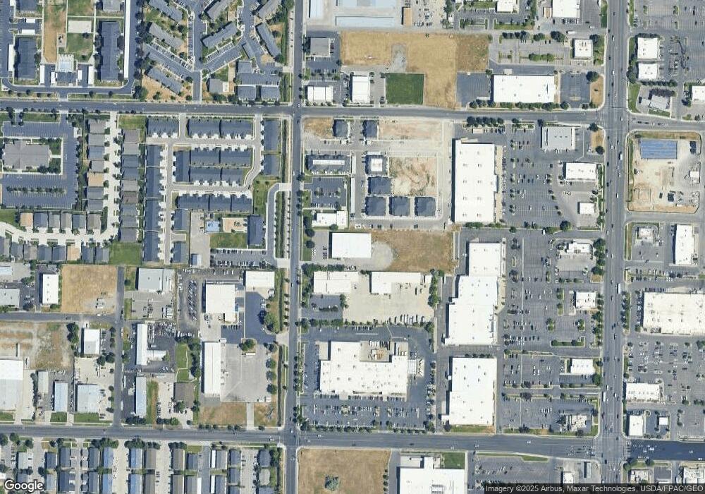
Map
Nearby Homes
- 2200 N 220 W
- 85 Hampton Place
- 1515 N 450 W Unit 103
- 60 Hampton Place
- 446 W 1595 N Unit 103
- 259 W 1800 N
- 2 Somerset Place
- 514 W 1490 N Unit 102
- 1762 N 460 W Unit 103-10
- 539 W 1465 N Unit 17-102
- 1492 N 565 W Unit 101
- 1584 N 565 W Unit 104
- 1565 N 565 W Unit 101
- 559 W 1350 N Unit 41
- 239 E 1530 N
- 1926 Lavender Loop Unit 6
- 490 W 1950 N Unit 27
- 1030 N 130 W Unit 100
- 272 E 1725 N Unit 3
- 235 E 1100 N
- 1544 N 200 W
- 1488 N 200 W
- 1480 N 200 W
- 1564 N 160 W
- 1564 N 160 W Unit 9
- 194 W 1575 N Unit 3
- 194 W 1575 N Unit 103
- 180 W 1575 N Unit 108
- 180 W 1575 N Unit 107
- 180 W 1575 N Unit 203
- 180 W 1575 N Unit 205
- 180 W 1575 N Unit 206
- 180 W 1575 N Unit 207
- 180 W 1575 N Unit 103
- 180 W 1575 N Unit 106
- 180 W 1575 N Unit 104
- 180 W 1575 N Unit 105
- 180 W 1575 N Unit 204
- 1532 N 160 W
- 143 W 1525 N Unit Bedroom 1