1510 N High St Port Byron, IL 61275
Estimated Value: $313,000 - $402,000
--
Bed
--
Bath
2,071
Sq Ft
$175/Sq Ft
Est. Value
About This Home
This home is located at 1510 N High St, Port Byron, IL 61275 and is currently estimated at $363,454, approximately $175 per square foot. 1510 N High St is a home located in Rock Island County with nearby schools including Riverdale Elementary School, Riverdale Middle School, and Riverdale Senior High School.
Ownership History
Date
Name
Owned For
Owner Type
Purchase Details
Closed on
Jul 5, 2022
Sold by
Griffith Larry H and Griffith Patricia A
Bought by
Ect Enterprise Properties Llc
Current Estimated Value
Home Financials for this Owner
Home Financials are based on the most recent Mortgage that was taken out on this home.
Original Mortgage
$335,000
Outstanding Balance
$318,742
Interest Rate
5.1%
Mortgage Type
New Conventional
Estimated Equity
$44,712
Create a Home Valuation Report for This Property
The Home Valuation Report is an in-depth analysis detailing your home's value as well as a comparison with similar homes in the area
Home Values in the Area
Average Home Value in this Area
Purchase History
| Date | Buyer | Sale Price | Title Company |
|---|---|---|---|
| Ect Enterprise Properties Llc | $345,000 | Stone & Palmgren |
Source: Public Records
Mortgage History
| Date | Status | Borrower | Loan Amount |
|---|---|---|---|
| Open | Ect Enterprise Properties Llc | $335,000 |
Source: Public Records
Tax History Compared to Growth
Tax History
| Year | Tax Paid | Tax Assessment Tax Assessment Total Assessment is a certain percentage of the fair market value that is determined by local assessors to be the total taxable value of land and additions on the property. | Land | Improvement |
|---|---|---|---|---|
| 2024 | $7,545 | $99,477 | $22,029 | $77,448 |
| 2023 | $7,545 | $81,993 | $20,210 | $61,783 |
| 2022 | $4,058 | $74,545 | $19,275 | $55,270 |
| 2021 | $4,187 | $70,659 | $18,270 | $52,389 |
| 2020 | $4,186 | $69,615 | $18,000 | $51,615 |
| 2019 | $4,126 | $69,615 | $18,000 | $51,615 |
| 2018 | $4,126 | $71,027 | $17,680 | $53,347 |
| 2017 | $4,065 | $71,027 | $17,680 | $53,347 |
| 2016 | $4,085 | $70,046 | $17,436 | $52,610 |
| 2015 | $4,310 | $64,893 | $16,153 | $48,740 |
| 2014 | $950 | $64,893 | $16,153 | $48,740 |
| 2013 | $950 | $64,893 | $16,153 | $48,740 |
Source: Public Records
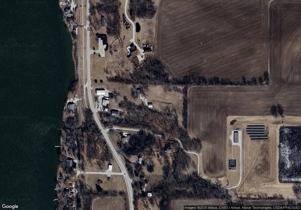
Map
Nearby Homes
- 11816 N 84 Hwy
- 1105 N High St
- 28176 226th St
- 22799 Great River Rd
- 0 218th St
- 1914 Ridgefield Dr
- LOT 201 James St
- 28018 230th St
- 1204 N Cody Rd
- 27841 Bowker Dr
- 1128 N Cody Rd
- 0 277th Unit MRDQC4261105
- 401 Oak Blvd
- 127 Walnut St
- 28055 238th St
- Lot A B C D N Cody Rd
- 1225 N 2nd St
- Lot 25 238th St
- 338 Benton St
- 5 Frontier Ct
- 1500 N High St
- 1420 N High St
- 1516 N High St
- 303 Fairfield Rd
- 1422 N High St
- 1418 N High St
- 1503 N Shore Dr
- 1415 N High St
- 1522 N High St
- 1409 N Shore Dr
- 1320 N High St
- 1407 N Shore Dr
- 1511 Elm Shore Dr
- 1400 N Shore Dr
- 1405 N Shore Dr
- 1403 N Shore Dr
- 1515 Elm Shore Dr
- 1526 N High St
- 1323 N Shore Dr
- 306 Fairfield Rd