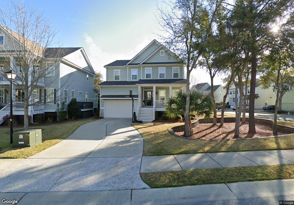
1510 Red Tide Rd Mount Pleasant, SC 29466
Estimated Value: $1,206,000 - $1,451,000
5
Beds
4
Baths
3,339
Sq Ft
$396/Sq Ft
Est. Value
About This Home
This home is located at 1510 Red Tide Rd, Mount Pleasant, SC 29466 and is currently estimated at $1,320,947, approximately $395 per square foot. 1510 Red Tide Rd is a home located in Charleston County with nearby schools including Mamie Whitesides Elementary School, Moultrie Middle School, and Wando High School.
Ownership History
Date
Name
Owned For
Owner Type
Purchase Details
Closed on
Sep 19, 2024
Sold by
Jang Soon Ho and Chung Yeon S
Bought by
Jang Family Revocable Living Trust and Jang
Current Estimated Value
Purchase Details
Closed on
Jun 7, 2017
Sold by
D R Horton Inc
Bought by
Jang Soon Ho and Chung Yeon S
Home Financials for this Owner
Home Financials are based on the most recent Mortgage that was taken out on this home.
Original Mortgage
$424,100
Interest Rate
4.02%
Mortgage Type
New Conventional
Create a Home Valuation Report for This Property
The Home Valuation Report is an in-depth analysis detailing your home's value as well as a comparison with similar homes in the area
Home Values in the Area
Average Home Value in this Area
Purchase History
| Date | Buyer | Sale Price | Title Company |
|---|---|---|---|
| Jang Family Revocable Living Trust | -- | None Listed On Document | |
| Jang Soon Ho | $619,000 | None Available |
Source: Public Records
Mortgage History
| Date | Status | Borrower | Loan Amount |
|---|---|---|---|
| Previous Owner | Jang Soon Ho | $424,100 |
Source: Public Records
Tax History Compared to Growth
Tax History
| Year | Tax Paid | Tax Assessment Tax Assessment Total Assessment is a certain percentage of the fair market value that is determined by local assessors to be the total taxable value of land and additions on the property. | Land | Improvement |
|---|---|---|---|---|
| 2024 | $2,800 | $28,360 | $0 | $0 |
| 2023 | $2,800 | $28,360 | $0 | $0 |
| 2022 | $2,585 | $28,360 | $0 | $0 |
| 2021 | $2,846 | $28,360 | $0 | $0 |
| 2020 | $2,914 | $28,360 | $0 | $0 |
| 2019 | $2,543 | $24,760 | $0 | $0 |
| 2017 | $2,181 | $21,330 | $0 | $0 |
Source: Public Records
Map
Nearby Homes
- 1536 Keshi Pearl Dr
- 1573 Red Tide Rd
- 1617 Prince Edward St
- 2130 Oyster Reef Ln
- 1613 Fort Palmetto Cir
- 2242 Dewees Creek Dr
- 1486 Diamond Blvd
- 1478 Diamond Blvd
- 3116 Sandy Pearl Way
- 3104 Sandy Pearl Way
- 1509 W Palmetto Fort Dr
- 1663 Omni Blvd
- 1554 N Lakeshore Dr
- 1515 N Lakeshore Dr
- 1688 Farmers Way
- 0 Rifle Range Rd Unit (Lot 2)
- 0 Rifle Range Rd Unit (Lot 1)
- 1784 Omni Blvd
- 1494 N Lakeshore Dr
- 1750 Cultivation Ln Unit 514
- 1506 Red Tide Rd
- 2665 Pearl Tabby Dr
- 1515 Keshi Pearl Dr
- 1532 Keshi Pearl Dr
- 1502 Red Tide Rd
- 1524 Keshi Pearl
- 1509 Red Tide Rd
- 1511 Red Tide Rd
- 1505 Red Tide Rd
- 1507 Keshi Pearl Dr
- 1528 Keshi Pearl Dr
- 1515 Red Tide Rd
- 1498 Red Tide Rd
- 1501 Red Tide Rd
- 1519 Red Tide Rd
- 1524 Red Tide Rd
- 1503 Keshi Pearl Dr
- 1520 Keshi Pearl Dr
- 97 Keshi Pearl Dr
- 1497 Red Tide Rd