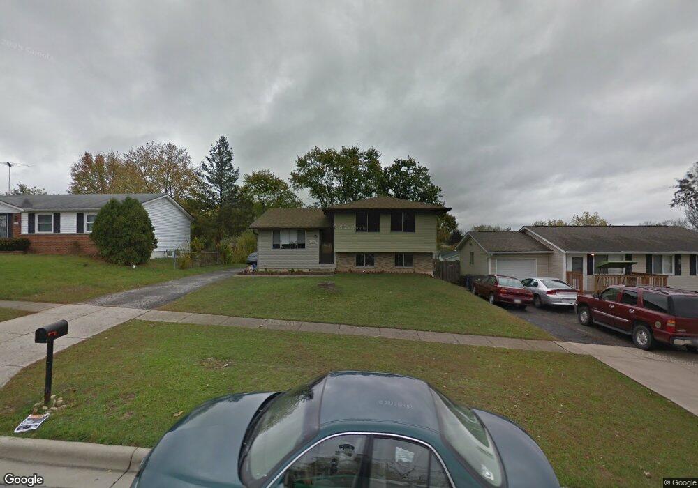
1510 Riverbend Rd Columbus, OH 43223
Riverbend NeighborhoodEstimated Value: $160,000 - $235,000
3
Beds
2
Baths
1,256
Sq Ft
$170/Sq Ft
Est. Value
About This Home
This home is located at 1510 Riverbend Rd, Columbus, OH 43223 and is currently estimated at $214,051, approximately $170 per square foot. 1510 Riverbend Rd is a home located in Franklin County with nearby schools including James A Harmon Elementary School, Franklin Woods Intermediate School, and Finland Middle School.
Ownership History
Date
Name
Owned For
Owner Type
Purchase Details
Closed on
Oct 8, 2008
Sold by
Fannie Mae
Bought by
Mitchell Beverly
Current Estimated Value
Purchase Details
Closed on
May 19, 2008
Sold by
George Paul W and Abn Amro Mortgage Group Inc
Bought by
Federal National Mortgage Association
Purchase Details
Closed on
Apr 1, 1988
Bought by
George Paul W
Purchase Details
Closed on
Oct 1, 1985
Purchase Details
Closed on
Mar 1, 1984
Create a Home Valuation Report for This Property
The Home Valuation Report is an in-depth analysis detailing your home's value as well as a comparison with similar homes in the area
Home Values in the Area
Average Home Value in this Area
Purchase History
| Date | Buyer | Sale Price | Title Company |
|---|---|---|---|
| Mitchell Beverly | $65,000 | Title First | |
| Federal National Mortgage Association | $58,000 | None Available | |
| George Paul W | $63,000 | -- | |
| -- | -- | -- | |
| -- | -- | -- |
Source: Public Records
Tax History
| Year | Tax Paid | Tax Assessment Tax Assessment Total Assessment is a certain percentage of the fair market value that is determined by local assessors to be the total taxable value of land and additions on the property. | Land | Improvement |
|---|---|---|---|---|
| 2025 | $2,355 | $62,970 | $16,910 | $46,060 |
| 2024 | $2,355 | $62,970 | $16,910 | $46,060 |
| 2023 | $2,378 | $62,970 | $16,910 | $46,060 |
| 2022 | $1,976 | $39,450 | $10,080 | $29,370 |
| 2021 | $2,015 | $39,450 | $10,080 | $29,370 |
| 2020 | $2,005 | $39,450 | $10,080 | $29,370 |
| 2019 | $1,869 | $32,450 | $8,400 | $24,050 |
| 2018 | $931 | $32,450 | $8,400 | $24,050 |
| 2017 | $1,952 | $32,450 | $8,400 | $24,050 |
| 2016 | $1,686 | $27,100 | $4,870 | $22,230 |
| 2015 | $843 | $27,100 | $4,870 | $22,230 |
| 2014 | $1,688 | $27,100 | $4,870 | $22,230 |
| 2013 | $929 | $30,065 | $5,390 | $24,675 |
Source: Public Records
Map
Nearby Homes
- 1638 Tall Meadows Dr
- 2937 Rundell Dr
- 2856 Chesfield Dr
- 3116 Musket Ridge Dr
- 1605 Greenville Rd
- 2800 Alkire Rd
- 3407 Western Hill Rd
- 1335 Hafton Woods Dr
- 1360 Hafton Woods Dr
- 1657 Ripplebrook Rd
- 2112 Sondra Ln
- 1147 Parma Ave
- 0 Glencreek Rd
- 988 S Roys Ave
- 1722 Hollow Run Dr
- 2600 Plainview Ave
- 3029 Rosedale Ave
- 3017 Moyer Ln
- 894 Binns Blvd
- 903 S Harris Ave
- 1518 Riverbend Rd
- 1502 Riverbend Rd
- 1518 River Bend Rd
- 3092 Hill Grove Ave
- 1526 Riverbend Rd
- 1494 Riverbend Rd
- 3098 Hill Grove Ave
- 1534 River Bend Rd
- 1534 Riverbend Rd
- 1507 River Bend Rd
- 3104 Hill Grove Ave
- 3088 Hill Grove Ave
- 1507 Riverbend Rd
- 1515 Riverbend Rd
- 1499 Riverbend Rd
- 3097 Clime Rd
- 3105 Clime Rd
- 1491 River Bend Rd
- 3091 Clime Rd
- 1521 Riverbend Rd
Your Personal Tour Guide
Ask me questions while you tour the home.