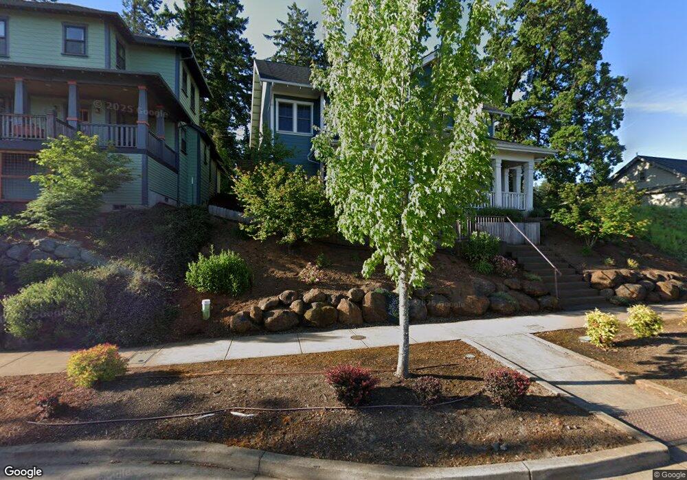
1510 Strong Rd SE Salem, OR 97302
Morningside NeighborhoodEstimated Value: $693,475 - $814,000
1
Bed
2
Baths
2,830
Sq Ft
$267/Sq Ft
Est. Value
About This Home
This home is located at 1510 Strong Rd SE, Salem, OR 97302 and is currently estimated at $754,619, approximately $266 per square foot. 1510 Strong Rd SE is a home located in Marion County with nearby schools including Morningside Elementary School, Leslie Middle School, and South Salem High School.
Ownership History
Date
Name
Owned For
Owner Type
Purchase Details
Closed on
Oct 23, 2018
Sold by
Euterpe Inc
Bought by
Bruey Finck Gweneth Bruey and Bruey Finck Derek M
Current Estimated Value
Home Financials for this Owner
Home Financials are based on the most recent Mortgage that was taken out on this home.
Original Mortgage
$450,142
Outstanding Balance
$393,386
Interest Rate
4.6%
Mortgage Type
New Conventional
Estimated Equity
$361,233
Purchase Details
Closed on
Jan 12, 2018
Sold by
Fairview Addition Llc
Bought by
Euterpe Inc and Olsen Design And Development Inc
Home Financials for this Owner
Home Financials are based on the most recent Mortgage that was taken out on this home.
Original Mortgage
$438,198
Interest Rate
3.94%
Mortgage Type
Commercial
Create a Home Valuation Report for This Property
The Home Valuation Report is an in-depth analysis detailing your home's value as well as a comparison with similar homes in the area
Home Values in the Area
Average Home Value in this Area
Purchase History
| Date | Buyer | Sale Price | Title Company |
|---|---|---|---|
| Bruey Finck Gweneth Bruey | $562,678 | Amerititle | |
| Euterpe Inc | -- | Amerititle |
Source: Public Records
Mortgage History
| Date | Status | Borrower | Loan Amount |
|---|---|---|---|
| Open | Bruey Finck Gweneth Bruey | $450,142 | |
| Previous Owner | Euterpe Inc | $438,198 |
Source: Public Records
Tax History Compared to Growth
Tax History
| Year | Tax Paid | Tax Assessment Tax Assessment Total Assessment is a certain percentage of the fair market value that is determined by local assessors to be the total taxable value of land and additions on the property. | Land | Improvement |
|---|---|---|---|---|
| 2024 | $7,693 | $391,810 | -- | -- |
| 2023 | $7,189 | $366,270 | $0 | $0 |
| 2022 | $6,778 | $355,610 | $0 | $0 |
| 2021 | $6,584 | $345,260 | $0 | $0 |
| 2020 | $6,393 | $335,210 | $0 | $0 |
| 2019 | $6,168 | $325,450 | $0 | $0 |
| 2018 | $1,217 | $0 | $0 | $0 |
| 2017 | $192 | $0 | $0 | $0 |
Source: Public Records
Map
Nearby Homes
- 1792 Strong Rd SE
- 1702 Strong Rd SE
- 1710 Strong Rd SE
- 1714 Strong Rd SE
- 4030 Cheshire Ln SE
- 1633 Leslie Wind Ln SE
- 4059 Dornoch Ln SE
- 4072 Dornoch Ln SE
- 4020 Mandy Ave SE
- 4060 Mandy Ave SE
- 1892 Cousteau Loop SE
- 1831 Cousteau Loop SE
- 4039 Village Center Dr SE
- 1325 Roseway Ct SE
- 1290 Colgan Ct SE
- 1270 Elser Ct SE
- 3950 Bartholomew Place SE
- 3967 Cousteau Dr SE
- 1275 Oakhill Ave SE
- 1735 John Muir Cir SE
- 1510 Strong Rd SE Unit 50) Rd
- 1510 Strong Rd SE
- 1522 Strong Rd SE
- 1534 Strong Rd SE
- 1476 Strong Rd SE
- 1476 Strong Rd SE
- 4080 Evesham Ln
- 4080 Evesham Ln SE
- 4091 Evesham Ln SE
- 4091 Evesham Ln SE
- 1464 Strong Rd SE
- 1464 Strong Rd SE
- 1580 Strong Rd SE
- 4059 Cheshire Ln SE
- 4056 Evesham Ln SE
- 4056 Evesham Ln SE
- 1452 Strong Rd SE
- 4069 Evesham Ln SE
- 4069 Evesham Ln SE
- 1641 Strong Rd SE