Estimated Value: $321,000 - $372,000
3
Beds
2
Baths
2,052
Sq Ft
$171/Sq Ft
Est. Value
About This Home
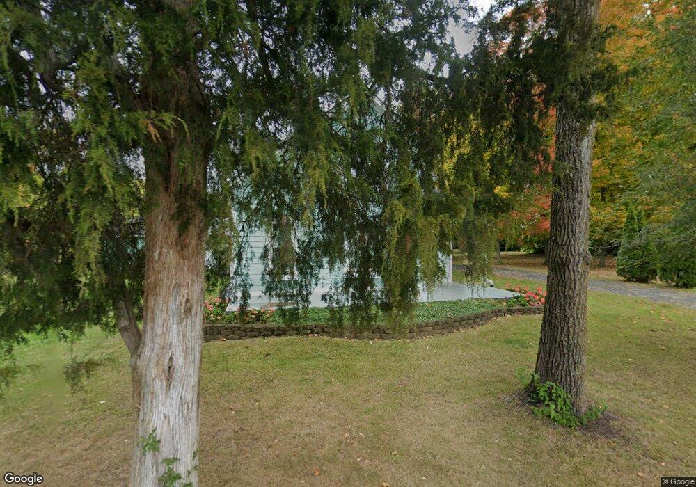
This home is located at 1510 Trebein Rd, Xenia, OH 45385 and is currently estimated at $350,161, approximately $170 per square foot. 1510 Trebein Rd is a home located in Greene County with nearby schools including Trebein Elementary School, Jacob Coy Middle School, and Beavercreek High School.
Ownership History
Date
Name
Owned For
Owner Type
Purchase Details
Closed on
Oct 7, 2002
Sold by
Snoddy Michael B and Snoddy Jennifer L
Bought by
Heiland Deral S and Heiland Amy L
Current Estimated Value
Home Financials for this Owner
Home Financials are based on the most recent Mortgage that was taken out on this home.
Original Mortgage
$114,750
Outstanding Balance
$48,740
Interest Rate
6.34%
Mortgage Type
Purchase Money Mortgage
Estimated Equity
$301,421
Purchase Details
Closed on
Apr 4, 1997
Sold by
Ryan Michael J
Bought by
Snoddy Michael B and Snoddy Jennifer
Home Financials for this Owner
Home Financials are based on the most recent Mortgage that was taken out on this home.
Original Mortgage
$100,800
Interest Rate
7.65%
Mortgage Type
New Conventional
Create a Home Valuation Report for This Property
The Home Valuation Report is an in-depth analysis detailing your home's value as well as a comparison with similar homes in the area
Home Values in the Area
Average Home Value in this Area
Purchase History
| Date | Buyer | Sale Price | Title Company |
|---|---|---|---|
| Heiland Deral S | $135,000 | -- | |
| Snoddy Michael B | $126,000 | -- |
Source: Public Records
Mortgage History
| Date | Status | Borrower | Loan Amount |
|---|---|---|---|
| Open | Heiland Deral S | $114,750 | |
| Previous Owner | Snoddy Michael B | $100,800 |
Source: Public Records
Tax History Compared to Growth
Tax History
| Year | Tax Paid | Tax Assessment Tax Assessment Total Assessment is a certain percentage of the fair market value that is determined by local assessors to be the total taxable value of land and additions on the property. | Land | Improvement |
|---|---|---|---|---|
| 2024 | $4,963 | $88,230 | $25,510 | $62,720 |
| 2023 | $4,963 | $88,230 | $25,510 | $62,720 |
| 2022 | $4,142 | $64,540 | $21,260 | $43,280 |
| 2021 | $4,183 | $64,540 | $21,260 | $43,280 |
| 2020 | $4,203 | $64,540 | $21,260 | $43,280 |
| 2019 | $4,234 | $59,700 | $21,260 | $38,440 |
| 2018 | $3,691 | $59,700 | $21,260 | $38,440 |
| 2017 | $3,553 | $59,700 | $21,260 | $38,440 |
| 2016 | $3,504 | $55,930 | $21,260 | $34,670 |
| 2015 | $3,526 | $55,930 | $21,260 | $34,670 |
| 2014 | $3,443 | $55,930 | $21,260 | $34,670 |
Source: Public Records
Map
Nearby Homes
- 1678 Fairground Rd
- 1605 Stormy Ct
- 1462 Champions Way
- 1481 Stone Ridge Ct
- 1800 Ash Meadow Ct
- Torino II Plan at The Courtyards at Stonehill Village
- Palazzo Plan at The Courtyards at Stonehill Village
- Promenade III Plan at The Courtyards at Stonehill Village
- Portico Plan at The Courtyards at Stonehill Village
- Verona Plan at The Courtyards at Stonehill Village
- 1427 Triple Crown Way
- 2170 Schmidt Dr N
- 1416 Hilltop Rd
- 2073 Lincolnshire Dr
- 1589 Stonebury Ct
- Hudson Plan at Nathanials Grove Estates
- Normandy Plan at Nathanials Grove Estates
- Lehigh Plan at Nathanials Grove Estates
- Aviano Plan at Nathanials Grove Estates
- Columbia Plan at Nathanials Grove Estates
- 1795 Trebein Rd
- 1534 Fairground Rd
- 1484 Fairground Rd
- 1547 Fairground Rd
- 1815 Trebein Rd
- 1711 Trebein Rd
- 1551 Fairground Rd
- 1827 Trebein Rd
- 1559 Fairground Rd
- 1701 Trebein Rd
- 1722 Trebein Rd
- 1552 Fairground Rd
- 1842 Trebein Rd
- 1459 Fairground Rd
- 1464 Fairground Rd
- 1841 Trebein Rd
- 1587 Fairground Rd
- 1681 Trebein Rd
- 1830 Trebein Rd
- 1432 Fairground Rd