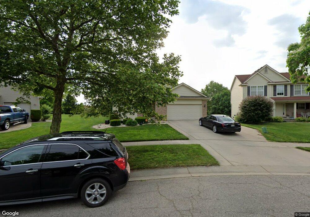
1510 Tulane Cir Flint, MI 48503
Downtown Flint NeighborhoodEstimated Value: $189,000 - $266,318
3
Beds
3
Baths
2,160
Sq Ft
$109/Sq Ft
Est. Value
About This Home
This home is located at 1510 Tulane Cir, Flint, MI 48503 and is currently estimated at $235,830, approximately $109 per square foot. 1510 Tulane Cir is a home located in Genesee County with nearby schools including Doyle/Ryder School, Flint Cultural Center Academy, and WAY Academy of Flint.
Ownership History
Date
Name
Owned For
Owner Type
Purchase Details
Closed on
Apr 26, 2012
Sold by
Childs Aaron W
Bought by
Childs Aaron W and Childs Jill L
Current Estimated Value
Purchase Details
Closed on
Nov 3, 2008
Sold by
Derricks Marcia
Bought by
The Cit Group/Consumer Finance Inc
Purchase Details
Closed on
Aug 11, 2005
Sold by
Charter Oak Homes Inc
Bought by
Derricks Marcia
Home Financials for this Owner
Home Financials are based on the most recent Mortgage that was taken out on this home.
Original Mortgage
$196,780
Interest Rate
8.75%
Mortgage Type
Fannie Mae Freddie Mac
Purchase Details
Closed on
Jul 1, 2004
Sold by
Community Capital Development Corp
Bought by
Charter Oak Homes Inc
Purchase Details
Closed on
Jun 30, 2004
Sold by
City Of Flint
Bought by
Community Capital Development Corp
Create a Home Valuation Report for This Property
The Home Valuation Report is an in-depth analysis detailing your home's value as well as a comparison with similar homes in the area
Home Values in the Area
Average Home Value in this Area
Purchase History
| Date | Buyer | Sale Price | Title Company |
|---|---|---|---|
| Childs Aaron W | -- | First American | |
| The Cit Group/Consumer Finance Inc | $193,164 | None Available | |
| Derricks Marcia | $218,655 | Title One Inc | |
| Charter Oak Homes Inc | -- | -- | |
| Community Capital Development Corp | -- | -- |
Source: Public Records
Mortgage History
| Date | Status | Borrower | Loan Amount |
|---|---|---|---|
| Previous Owner | Derricks Marcia | $196,780 |
Source: Public Records
Tax History Compared to Growth
Tax History
| Year | Tax Paid | Tax Assessment Tax Assessment Total Assessment is a certain percentage of the fair market value that is determined by local assessors to be the total taxable value of land and additions on the property. | Land | Improvement |
|---|---|---|---|---|
| 2025 | $3,791 | $122,300 | $0 | $0 |
| 2024 | $3,337 | $119,600 | $0 | $0 |
| 2023 | $3,222 | $112,600 | $0 | $0 |
| 2022 | $0 | $95,300 | $0 | $0 |
| 2021 | $3,414 | $84,100 | $0 | $0 |
| 2020 | $2,980 | $73,000 | $0 | $0 |
| 2019 | $2,948 | $56,400 | $0 | $0 |
| 2018 | $3,055 | $54,900 | $0 | $0 |
| 2017 | $3,060 | $0 | $0 | $0 |
| 2016 | $3,128 | $0 | $0 | $0 |
| 2015 | -- | $0 | $0 | $0 |
| 2014 | -- | $0 | $0 | $0 |
| 2012 | -- | $60,900 | $0 | $0 |
Source: Public Records
Map
Nearby Homes
- 805 Columbia Dr
- 1706 Wilberforce Cir
- 1303 Root St
- 562 E Witherbee St
- 1273 Broadway Blvd
- 1215 Bennett Ave
- 329 E Wood St
- 1379 Washington Ave
- 1016 Garland St
- 235 Page St
- 217 W 7th Ave
- 1445 Kearsley Park Kearsley Park
- 1606 Garland St
- 620 E 2nd St
- 1521 Broadway Blvd
- 607 East St
- 1529 Broadway Blvd
- 621 Pierson St
- 1612 Iowa Ave
- 1605 Kearsley Park Blvd