Estimated Value: $706,000 - $923,000
5
Beds
5
Baths
3,881
Sq Ft
$212/Sq Ft
Est. Value
About This Home
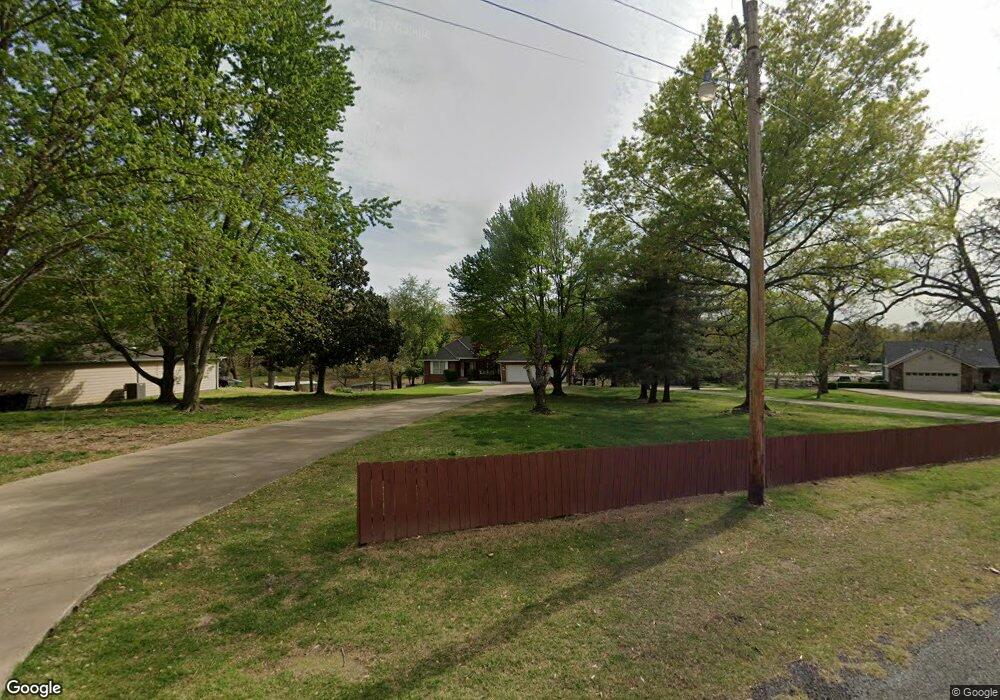
This home is located at 1510 Wyant Rd, Grove, OK 74344 and is currently estimated at $824,607, approximately $212 per square foot. 1510 Wyant Rd is a home located in Delaware County with nearby schools including Grove Lower Elementary School, Grove Upper Elementary School, and Grove Middle School.
Ownership History
Date
Name
Owned For
Owner Type
Purchase Details
Closed on
May 20, 2021
Sold by
Anderson Shawn M and Anderson Kendra
Bought by
Walters James M and Walters Mandi
Current Estimated Value
Home Financials for this Owner
Home Financials are based on the most recent Mortgage that was taken out on this home.
Original Mortgage
$495,000
Outstanding Balance
$446,204
Interest Rate
2.9%
Mortgage Type
New Conventional
Estimated Equity
$378,403
Purchase Details
Closed on
Aug 18, 1992
Sold by
Towry Gayle E and Towry Norma J
Create a Home Valuation Report for This Property
The Home Valuation Report is an in-depth analysis detailing your home's value as well as a comparison with similar homes in the area
Home Values in the Area
Average Home Value in this Area
Purchase History
| Date | Buyer | Sale Price | Title Company |
|---|---|---|---|
| Walters James M | $550,000 | Apex Title Northeast Ok Llc | |
| -- | $49,500 | -- |
Source: Public Records
Mortgage History
| Date | Status | Borrower | Loan Amount |
|---|---|---|---|
| Open | Walters James M | $495,000 |
Source: Public Records
Tax History Compared to Growth
Tax History
| Year | Tax Paid | Tax Assessment Tax Assessment Total Assessment is a certain percentage of the fair market value that is determined by local assessors to be the total taxable value of land and additions on the property. | Land | Improvement |
|---|---|---|---|---|
| 2025 | $5,377 | $72,033 | $11,586 | $60,447 |
| 2024 | $5,377 | $66,412 | $11,035 | $55,377 |
| 2023 | $5,377 | $63,251 | $10,868 | $52,383 |
| 2022 | $5,281 | $63,251 | $10,868 | $52,383 |
| 2021 | $4,787 | $59,272 | $10,868 | $48,404 |
| 2020 | $4,724 | $56,758 | $10,868 | $45,890 |
| 2019 | $4,628 | $55,429 | $10,868 | $44,561 |
| 2018 | $4,494 | $53,956 | $10,868 | $43,088 |
| 2017 | $4,382 | $53,178 | $10,868 | $42,310 |
| 2016 | $4,240 | $50,831 | $10,753 | $40,078 |
| 2015 | $4,301 | $50,831 | $10,753 | $40,078 |
| 2014 | $4,322 | $50,831 | $10,753 | $40,078 |
Source: Public Records
Map
Nearby Homes
- 2720 Thompson Rd
- 1619 Pine Dr
- 61113 E 310 Rd
- 61112 E 310 Rd
- 3111 Old Dyke Rd
- 3110 Old Dyke Rd
- 3101 Shore Dr Unit 5
- 3112 Shore Dr
- 1629 Dilar Dr
- 25101 S 613
- 3402 Callie Dr
- 0 Scenic Dr
- 1709 Cardiac Cove Rd
- 0 Tbd Melody Point Cir
- 3456 Scenic Dr
- 2666 Shasten St
- 3418 Scenic Dr
- 2243 Lower Waterfall Rd
- 3452 Scenic Dr
- 1307 W 16th St
- 1512 Wyant Rd
- 1508 Wyant Rd
- 1514 Wyant Rd
- 1506 Wyant Rd
- 2616 Spruce St
- 1217 Wyant Rd
- 1222 Wyatt
- 2933 Twin Cove Ln
- 2932 Twin Cove Ln
- 2934 Twin Cove Ln
- 1504 Wyant Rd
- 2615 Spruce St
- 1222 Wyant Rd
- 2613 Jasmine Dr
- 2614 Spruce St
- 2614 Jasmine Dr
- 2720 Thompson Rd Unit Lot 4,unit II
- 2933 Old Dike Rd
- 2616 Jasmine Dr
- 1224 Wyant Rd