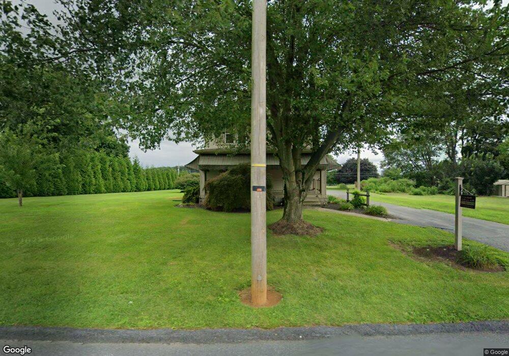
15101 Winterstown Rd Stewartstown, PA 17363
Estimated Value: $256,000 - $466,000
3
Beds
2
Baths
2,224
Sq Ft
$158/Sq Ft
Est. Value
About This Home
This home is located at 15101 Winterstown Rd, Stewartstown, PA 17363 and is currently estimated at $351,188, approximately $157 per square foot. 15101 Winterstown Rd is a home located in York County with nearby schools including South Eastern Intermediate School, South Eastern Middle School, and Kennard-Dale High School.
Ownership History
Date
Name
Owned For
Owner Type
Purchase Details
Closed on
Apr 30, 2009
Sold by
Snook Kevin L and Snook Karen L
Bought by
Snook Kevin L and Snook Karen L
Current Estimated Value
Home Financials for this Owner
Home Financials are based on the most recent Mortgage that was taken out on this home.
Original Mortgage
$197,350
Outstanding Balance
$51,782
Interest Rate
4.86%
Mortgage Type
New Conventional
Estimated Equity
$299,406
Purchase Details
Closed on
Mar 7, 1989
Bought by
Snook Kevin L
Create a Home Valuation Report for This Property
The Home Valuation Report is an in-depth analysis detailing your home's value as well as a comparison with similar homes in the area
Home Values in the Area
Average Home Value in this Area
Purchase History
| Date | Buyer | Sale Price | Title Company |
|---|---|---|---|
| Snook Kevin L | -- | None Available | |
| Snook Kevin L | $60,000 | -- |
Source: Public Records
Mortgage History
| Date | Status | Borrower | Loan Amount |
|---|---|---|---|
| Open | Snook Kevin L | $197,350 |
Source: Public Records
Tax History Compared to Growth
Tax History
| Year | Tax Paid | Tax Assessment Tax Assessment Total Assessment is a certain percentage of the fair market value that is determined by local assessors to be the total taxable value of land and additions on the property. | Land | Improvement |
|---|---|---|---|---|
| 2025 | $6,315 | $209,440 | $55,550 | $153,890 |
| 2024 | $6,283 | $209,440 | $55,550 | $153,890 |
| 2023 | $6,283 | $209,440 | $55,550 | $153,890 |
| 2022 | $6,283 | $209,440 | $55,550 | $153,890 |
| 2021 | $6,051 | $209,440 | $55,550 | $153,890 |
| 2020 | $6,051 | $209,440 | $55,550 | $153,890 |
| 2019 | $6,030 | $209,440 | $55,550 | $153,890 |
| 2018 | $6,030 | $209,440 | $55,550 | $153,890 |
| 2017 | $6,017 | $209,440 | $55,550 | $153,890 |
| 2016 | $0 | $209,440 | $55,550 | $153,890 |
| 2015 | -- | $209,440 | $55,550 | $153,890 |
| 2014 | -- | $209,440 | $55,550 | $153,890 |
Source: Public Records
Map
Nearby Homes
- 4389 Hess Rd
- 14639 Hyson School Rd
- 14754 Lowe Rd
- 4162 Rinely Rd
- 12706 High Point Rd
- 12109 Woodland Dr
- 13503 Fishel Rd
- 13859 Ebaugh Rd
- 545 Log House Rd Unit 116
- 525 Log House Rd Unit 118
- 116 Carbridge Rd W
- 515 Log House Rd Unit 119
- 119 Edie Cir
- 13846 Ridge Rd
- 12568 Mount Olivet Rd
- 200 Patterson Dr Unit 52
- 16292 Maddox Rd
- 180 Patterson Dr Unit 50
- 170 Patterson Dr Unit 49
- 160 Patterson Dr Unit 48
- 16468 Cross Roads Ave
- 16503 Cross Roads Ave
- 15063 Winterstown Rd
- 15145 Winterstown Rd
- 16531 Cross Roads Ave
- 15047 Winterstown Rd
- 16467 Cross Roads Ave
- 16434 Cross Roads Ave
- 15074 Winterstown Rd
- 16423 Cross Roads Ave
- 15025 Winterstown Rd
- 15032 Winterstown Rd
- 15177 Barrens Rd N
- 14987 Winterstown Rd
- 14996 Winterstown Rd
- 15180 Barrens Rd N
- 14180 Hyson School Rd
- 14208 Hyson School Rd
- 14955 Winterstown Rd
- 14092 Hyson School Rd