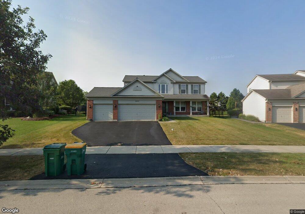
15103 Albright Dr Lockport, IL 60441
South Homer Glen NeighborhoodEstimated Value: $448,946 - $553,000
4
Beds
3
Baths
2,356
Sq Ft
$217/Sq Ft
Est. Value
About This Home
This home is located at 15103 Albright Dr, Lockport, IL 60441 and is currently estimated at $510,487, approximately $216 per square foot. 15103 Albright Dr is a home located in Will County with nearby schools including William J. Butler, Hadley Middle School, and Homer Jr High School.
Ownership History
Date
Name
Owned For
Owner Type
Purchase Details
Closed on
Jun 14, 2006
Sold by
Pulte Homes
Bought by
Hsu Christie A
Current Estimated Value
Home Financials for this Owner
Home Financials are based on the most recent Mortgage that was taken out on this home.
Original Mortgage
$276,580
Outstanding Balance
$168,710
Interest Rate
7.25%
Mortgage Type
Purchase Money Mortgage
Estimated Equity
$341,777
Create a Home Valuation Report for This Property
The Home Valuation Report is an in-depth analysis detailing your home's value as well as a comparison with similar homes in the area
Home Values in the Area
Average Home Value in this Area
Purchase History
| Date | Buyer | Sale Price | Title Company |
|---|---|---|---|
| Hsu Christie A | $346,000 | None Available |
Source: Public Records
Mortgage History
| Date | Status | Borrower | Loan Amount |
|---|---|---|---|
| Open | Hsu Christie A | $276,580 |
Source: Public Records
Tax History Compared to Growth
Tax History
| Year | Tax Paid | Tax Assessment Tax Assessment Total Assessment is a certain percentage of the fair market value that is determined by local assessors to be the total taxable value of land and additions on the property. | Land | Improvement |
|---|---|---|---|---|
| 2024 | $12,016 | $145,975 | $24,074 | $121,901 |
| 2023 | $12,016 | $132,320 | $21,822 | $110,498 |
| 2022 | $11,543 | $123,548 | $20,375 | $103,173 |
| 2021 | $10,506 | $117,052 | $19,304 | $97,748 |
| 2020 | $10,463 | $112,745 | $18,594 | $94,151 |
| 2019 | $10,157 | $108,460 | $17,887 | $90,573 |
| 2018 | $9,877 | $104,608 | $17,682 | $86,926 |
| 2017 | $9,706 | $101,680 | $17,187 | $84,493 |
| 2016 | $9,492 | $98,289 | $16,614 | $81,675 |
| 2015 | $9,259 | $94,599 | $15,990 | $78,609 |
| 2014 | $9,259 | $92,645 | $15,660 | $76,985 |
| 2013 | $9,259 | $92,645 | $15,660 | $76,985 |
Source: Public Records
Map
Nearby Homes
- 16860 S Ivy Ln
- 15053 Sagebrush Ln Unit 1254
- 16947 S Timber Dr
- 17355 Sprucewood Dr
- 17356 Sprucewood Dr
- 17358 Sprucewood Dr
- 16663 S Windsor Ln Unit T1644
- 17362 Sprucewood Dr
- 17430 Victoria Ln
- 15456 Amelia Cir
- 16609 S Silo Bend Dr
- 16601 S Windsor Ln Unit T1611
- Essex Plan at Sadie Ridge
- Campbell Plan at Sadie Ridge - The Townes at Sadie
- Braeden Plan at Sadie Ridge - The Townes at Sadie
- Brighton Plan at Sadie Ridge - The Townes at Sadie
- Danbury II Plan at Sadie Ridge - The Townes at Sadie
- Hudson Plan at Sadie Ridge
- Dunbar Plan at Sadie Ridge
- Easton Plan at Sadie Ridge
- 15061 Albright Dr
- 15111 Albright Dr
- 15104 Austin Dr
- 15104 W Austin Dr
- 15110 Austin Dr
- 15060 Austin Dr
- 15053 Albright Dr
- 15060 W Austin Dr
- 15117 Albright Dr
- 15118 Austin Dr
- 15104 Albright Dr
- 15060 Albright Dr Unit 2
- 15054 Austin Dr
- 15128 Austin Dr
- 15045 Albright Dr
- 15054 Albright Dr
- 15125 Albright Dr
- 15108 Albright Dr
- 15134 Austin Dr
- 15134 W Austin Dr