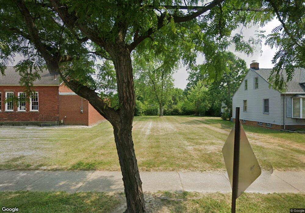
15106 Rockside Rd Maple Heights, OH 44137
Estimated Value: $177,365
3
Beds
1
Bath
1,344
Sq Ft
$132/Sq Ft
Est. Value
About This Home
This home is located at 15106 Rockside Rd, Maple Heights, OH 44137 and is currently estimated at $177,365, approximately $131 per square foot. 15106 Rockside Rd is a home located in Cuyahoga County with nearby schools including Abraham Lincoln Elementary School, Rockside/ J.F. Kennedy School, and Barack Obama School.
Ownership History
Date
Name
Owned For
Owner Type
Purchase Details
Closed on
Sep 27, 2010
Sold by
Cuyahoga County Land Reutilization Corpo
Bought by
Maple Heights Historical Society
Current Estimated Value
Purchase Details
Closed on
Aug 19, 2010
Sold by
Fdic
Bought by
Cuyahoga County Land Reutilization Corpo
Purchase Details
Closed on
Jan 2, 2009
Sold by
Lord Dawn M and Lord Jeffrey R
Bought by
Indymac Federal Bank Fsb
Purchase Details
Closed on
Mar 23, 2007
Sold by
Home Team One Llc
Bought by
Lord Dawn M
Home Financials for this Owner
Home Financials are based on the most recent Mortgage that was taken out on this home.
Original Mortgage
$10,000
Interest Rate
6.25%
Mortgage Type
Unknown
Purchase Details
Closed on
Dec 10, 2006
Sold by
Patronite Thomas and Patronite Helen
Bought by
Home Team One Llc
Purchase Details
Closed on
Jan 1, 1975
Bought by
Patronite Thomas E
Create a Home Valuation Report for This Property
The Home Valuation Report is an in-depth analysis detailing your home's value as well as a comparison with similar homes in the area
Home Values in the Area
Average Home Value in this Area
Purchase History
| Date | Buyer | Sale Price | Title Company |
|---|---|---|---|
| Maple Heights Historical Society | -- | Public | |
| Cuyahoga County Land Reutilization Corpo | -- | None Available | |
| Indymac Federal Bank Fsb | $30,000 | None Available | |
| Lord Dawn M | $100,000 | Old School | |
| Home Team One Llc | -- | Old School | |
| Patronite Thomas E | -- | -- |
Source: Public Records
Mortgage History
| Date | Status | Borrower | Loan Amount |
|---|---|---|---|
| Previous Owner | Lord Dawn M | $10,000 | |
| Previous Owner | Lord Dawn M | $80,000 |
Source: Public Records
Tax History Compared to Growth
Tax History
| Year | Tax Paid | Tax Assessment Tax Assessment Total Assessment is a certain percentage of the fair market value that is determined by local assessors to be the total taxable value of land and additions on the property. | Land | Improvement |
|---|---|---|---|---|
| 2024 | $28 | $5,635 | $5,635 | -- |
| 2022 | $34 | $5,635 | $5,635 | $0 |
| 2021 | $0 | $5,640 | $5,640 | $0 |
| 2020 | $0 | $5,640 | $5,640 | $0 |
| 2019 | $0 | $0 | $0 | $0 |
| 2018 | $0 | $5,640 | $5,640 | $0 |
| 2017 | $0 | $0 | $0 | $0 |
| 2016 | $132 | $0 | $0 | $0 |
| 2015 | $120 | $0 | $0 | $0 |
| 2014 | $120 | $0 | $0 | $0 |
Source: Public Records
Map
Nearby Homes
- 14808 James Ave
- 14708 Brunswick Ave
- 15617 Rockside Rd
- 14775 Lisa Dr
- 15803 Maplewood Ave
- 15800 Northwood Ave
- 14404 Tokay Ave
- 14214 Tabor Ave
- 14203 Tabor Ave
- 14951 Carol Dr
- 15505 Benhoff Dr
- 6089 Dunham Rd
- 13804 Rockside Rd
- 15709 Steinway Blvd
- 13905 Thraves Ave
- 15817 Steinway Blvd
- 15701 Walvern Blvd
- 14417 Corridon Ave
- 15405 Turney Rd
- 13741 Grove Dr
- 15104 Rockside Rd
- 5816 Dunham Rd
- 15102 Rockside Rd
- 5820 Dunham Rd
- 15100 Rockside Rd
- 14813 Wheeler Rd
- 5811 Dunham Rd
- 5824 Dunham Rd
- 14809 Wheeler Rd
- 15098 00 Rockside Rd
- 15098 Rockside Rd
- 14805 Wheeler Rd
- 15096 Rockside Rd
- 14801 Wheeler Rd
- 5834 Dunham Rd
- 15049 Rockside Rd
- 14816 Wheeler Rd
- 5781 Dunham Rd
- 14717 Wheeler Rd
- 14812 Wheeler Rd