15107 Highway 62 Charlestown, IN 47111
Estimated Value: $262,318 - $302,000
3
Beds
2
Baths
1,436
Sq Ft
$197/Sq Ft
Est. Value
About This Home
This home is located at 15107 Highway 62, Charlestown, IN 47111 and is currently estimated at $283,330, approximately $197 per square foot. 15107 Highway 62 is a home located in Clark County with nearby schools including Pleasant Ridge Elementary School, Charlestown Middle School, and Charlestown Senior High School.
Create a Home Valuation Report for This Property
The Home Valuation Report is an in-depth analysis detailing your home's value as well as a comparison with similar homes in the area
Home Values in the Area
Average Home Value in this Area
Tax History Compared to Growth
Tax History
| Year | Tax Paid | Tax Assessment Tax Assessment Total Assessment is a certain percentage of the fair market value that is determined by local assessors to be the total taxable value of land and additions on the property. | Land | Improvement |
|---|---|---|---|---|
| 2024 | $4,456 | $257,000 | $63,000 | $194,000 |
| 2023 | $3,669 | $221,800 | $52,400 | $169,400 |
| 2022 | $3,454 | $208,000 | $41,800 | $166,200 |
| 2021 | $2,925 | $175,100 | $31,800 | $143,300 |
| 2020 | $2,779 | $161,400 | $26,500 | $134,900 |
| 2019 | $2,489 | $153,100 | $26,500 | $126,600 |
| 2018 | $2,647 | $147,100 | $26,500 | $120,600 |
| 2017 | $2,163 | $139,300 | $26,500 | $112,800 |
| 2016 | $2,064 | $141,600 | $26,500 | $115,100 |
| 2014 | $1,905 | $131,200 | $26,500 | $104,700 |
| 2013 | -- | $132,400 | $26,500 | $105,900 |
Source: Public Records
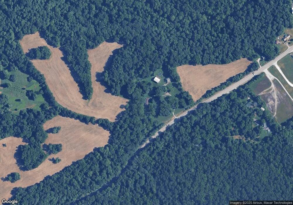
Map
Nearby Homes
- 16103 Beechwood Dr
- 7305 Sycamore Dr
- Onyx Plan at Rock Springs
- Sapphire Plan at Rock Springs
- Gem Plan at Rock Springs
- Emerald Plan at Rock Springs
- Ruby Plan at Rock Springs
- Emerald Bonus Plan at Rock Springs
- Gem Bonus Plan at Rock Springs
- Diamond Plan at Rock Springs
- Pearl Plan at Rock Springs
- 7625 Melrose (Lot 558) Ln
- Hadley Plan at Rock Springs
- Opal Plan at Rock Springs
- 0 Pebble Brook Dr Unit 2025011276
- 7808 Linwood Cir
- 17111 Highway 62
- 3205 Edens Way
- 3206 Edens Way
- 3201 Edens Way
- 15117 Highway 62
- 13507 Highway 62
- 15204 Highway 62
- 15102 Highway 62
- 15202 Highway 62
- 15303 Highway 62
- 15328 Highway 62
- 15220 Highway 62
- 15218 Highway 62
- 15418 Highway 62
- 14613 Highway 62
- 7213 Decker Ln
- 7203 Decker Ln
- 4314 Tunnel Mill Rd
- 14629 Highway 62
- 7105 Decker Ln
- 7314 Decker Ln
- 14615 Highway 62
- 4312 Tunnel Mill Rd
- 7208 Decker Ln