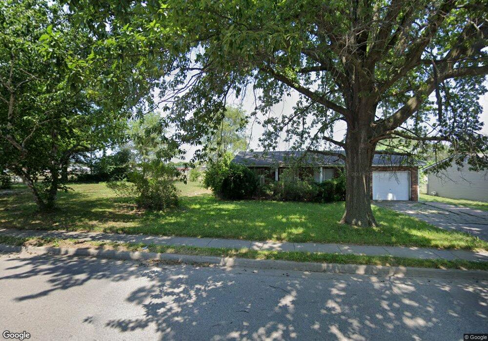
1511 Doris Ave East Saint Louis, IL 62206
Estimated Value: $92,000 - $160,453
--
Bed
--
Bath
1,040
Sq Ft
$106/Sq Ft
Est. Value
About This Home
This home is located at 1511 Doris Ave, East Saint Louis, IL 62206 and is currently estimated at $110,363, approximately $106 per square foot. 1511 Doris Ave is a home located in St. Clair County.
Ownership History
Date
Name
Owned For
Owner Type
Purchase Details
Closed on
Jan 15, 2025
Sold by
St Clair County
Bought by
Harris Michelle
Current Estimated Value
Purchase Details
Closed on
Sep 26, 2022
Sold by
St Clair County Clerk
Bought by
St Clair County
Purchase Details
Closed on
Jul 12, 2006
Sold by
Potter David D and Potter Tanya S
Bought by
Carraway Lawanda
Home Financials for this Owner
Home Financials are based on the most recent Mortgage that was taken out on this home.
Original Mortgage
$104,400
Interest Rate
8.2%
Mortgage Type
Purchase Money Mortgage
Create a Home Valuation Report for This Property
The Home Valuation Report is an in-depth analysis detailing your home's value as well as a comparison with similar homes in the area
Home Values in the Area
Average Home Value in this Area
Purchase History
| Date | Buyer | Sale Price | Title Company |
|---|---|---|---|
| Harris Michelle | -- | None Available | |
| St Clair County | -- | None Available | |
| Carraway Lawanda | $116,000 | Columbia Title |
Source: Public Records
Mortgage History
| Date | Status | Borrower | Loan Amount |
|---|---|---|---|
| Previous Owner | Carraway Lawanda | $104,400 |
Source: Public Records
Tax History Compared to Growth
Tax History
| Year | Tax Paid | Tax Assessment Tax Assessment Total Assessment is a certain percentage of the fair market value that is determined by local assessors to be the total taxable value of land and additions on the property. | Land | Improvement |
|---|---|---|---|---|
| 2024 | $88 | $462 | $462 | $0 |
| 2023 | -- | $52 | $52 | $0 |
| 2022 | $0 | $53 | $53 | $0 |
| 2021 | $75 | $347 | $347 | $0 |
| 2020 | $85 | $364 | $364 | $0 |
| 2019 | $2,799 | $11,994 | $364 | $11,630 |
| 2018 | $2,786 | $12,169 | $369 | $11,800 |
| 2017 | $2,675 | $11,876 | $360 | $11,516 |
| 2016 | $2,718 | $11,078 | $359 | $10,719 |
| 2014 | $2,241 | $10,957 | $355 | $10,602 |
| 2013 | $3,015 | $10,278 | $333 | $9,945 |
Source: Public Records
Map
Nearby Homes
- 913 Joliet Dr Unit 1
- 1713 Loretta Ave
- 1128 Saint Benedict Dr
- 1326 Saint Zita Ln
- 1307 Saint Zita Ln
- 1106 Saint Boniface Dr
- 1132 St Stephen’s
- 1426 Richard Dr
- 1125 Saint Boniface Dr
- 825 Mildred Ave
- 1120 Saint Michael Dr
- 1103 Saint Helena Dr
- 815 Sparks Ave
- 821 Howell Ave
- 794 Mildred Ave
- 404 Range Ln
- 801 Preston Ln
- 779 Mildred Ave Unit Front and Rear house
- 804 Otto St
- 768 Leon St