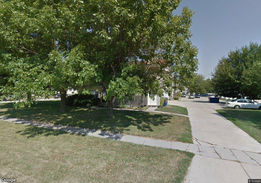
1511 Hancock Dr Unit C Normal, IL 61761
Westbrooke NeighborhoodEstimated Value: $127,000 - $148,000
2
Beds
--
Bath
1,053
Sq Ft
$129/Sq Ft
Est. Value
About This Home
This home is located at 1511 Hancock Dr Unit C, Normal, IL 61761 and is currently estimated at $135,460, approximately $128 per square foot. 1511 Hancock Dr Unit C is a home located in McLean County with nearby schools including Oakdale Elementary School, Kingsley Junior High School, and Normal Community West High School.
Ownership History
Date
Name
Owned For
Owner Type
Purchase Details
Closed on
Dec 4, 2025
Sold by
Goenne John F
Bought by
Goenne Graham R
Current Estimated Value
Purchase Details
Closed on
Mar 13, 2017
Sold by
Redman Carley E
Bought by
Geonne John
Purchase Details
Closed on
Mar 22, 2013
Sold by
Dust Matthew James
Bought by
Redman Carley E
Home Financials for this Owner
Home Financials are based on the most recent Mortgage that was taken out on this home.
Original Mortgage
$83,300
Interest Rate
3.48%
Mortgage Type
New Conventional
Purchase Details
Closed on
Apr 25, 2008
Sold by
Calhoun Sean Robert and Calhoun Patrick James
Bought by
Dust Matthew James
Home Financials for this Owner
Home Financials are based on the most recent Mortgage that was taken out on this home.
Original Mortgage
$15,200
Interest Rate
6.74%
Mortgage Type
Future Advance Clause Open End Mortgage
Create a Home Valuation Report for This Property
The Home Valuation Report is an in-depth analysis detailing your home's value as well as a comparison with similar homes in the area
Home Values in the Area
Average Home Value in this Area
Purchase History
| Date | Buyer | Sale Price | Title Company |
|---|---|---|---|
| Goenne Graham R | -- | None Listed On Document | |
| Geonne John | $91,000 | Frontier Title Co | |
| Redman Carley E | $85,000 | None Available | |
| Dust Matthew James | $76,000 | Frontier Title Co |
Source: Public Records
Mortgage History
| Date | Status | Borrower | Loan Amount |
|---|---|---|---|
| Previous Owner | Redman Carley E | $83,300 | |
| Previous Owner | Dust Matthew James | $15,200 | |
| Previous Owner | Dust Matthew James | $60,800 |
Source: Public Records
Tax History
| Year | Tax Paid | Tax Assessment Tax Assessment Total Assessment is a certain percentage of the fair market value that is determined by local assessors to be the total taxable value of land and additions on the property. | Land | Improvement |
|---|---|---|---|---|
| 2024 | $2,390 | $32,883 | $4,177 | $28,706 |
| 2022 | $2,390 | $26,601 | $3,379 | $23,222 |
| 2021 | $2,308 | $25,098 | $3,188 | $21,910 |
| 2020 | $2,295 | $24,837 | $3,155 | $21,682 |
| 2019 | $2,218 | $24,704 | $3,138 | $21,566 |
| 2018 | $2,193 | $24,443 | $3,105 | $21,338 |
| 2017 | $798 | $24,443 | $3,105 | $21,338 |
| 2016 | $1,579 | $24,443 | $3,105 | $21,338 |
| 2015 | $1,524 | $23,870 | $3,032 | $20,838 |
| 2014 | $1,505 | $23,870 | $3,032 | $20,838 |
| 2013 | -- | $23,870 | $3,032 | $20,838 |
Source: Public Records
Map
Nearby Homes
- 1507 Ensign Dr
- 307 N Cottage Ave
- 112 College Park Ct
- 206 N Grove St
- 102 Nottingham Chase
- 200 Felmley Dr
- 112 S Cottage Ave
- 816 W College Ave
- 205 Edwards Dr
- 203 Edwards Dr
- 811 W College Ave
- 301 Oakdale Ave
- 1305 Kingsridge Ct Unit C
- 103 Cheltenham Dr
- 813 Highpoint Rd
- 1607 Hovey Ave
- 804 Osage St
- 1108 Hovey Ave
- 1615 Fairfield Dr
- 8 University Ct
- 1511 Hancock Dr
- 1511 Hancock Dr Unit F
- 1511 Hancock Dr Unit E
- 1511 Hancock Dr Unit D
- 1511 Hancock Dr Unit B
- 1511 Hancock Dr Unit A
- 1511 Hancock C
- 1509 Hancock Dr
- 1510 Ensign Dr Unit C
- 1510 Ensign Dr Unit B
- 1510 Ensign Dr Unit A
- 1507 Hancock Dr
- 1510 Hancock Dr
- 1510 Hancock Dr Unit 8
- 1510 Hancock Dr Unit 6
- 1510 Hancock Dr Unit 5
- 1510 Hancock Dr Unit 4
- 1510 Hancock Dr Unit 3
- 1510 Hancock Dr Unit 2
- 1510 Hancock Dr Unit 1
Your Personal Tour Guide
Ask me questions while you tour the home.