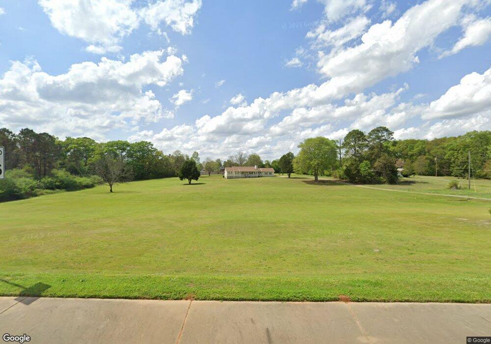
1511 Houston Lake Rd Kathleen, GA 31047
Estimated Value: $295,000 - $343,056
--
Bed
2
Baths
2,040
Sq Ft
$157/Sq Ft
Est. Value
About This Home
This home is located at 1511 Houston Lake Rd, Kathleen, GA 31047 and is currently estimated at $320,264, approximately $156 per square foot. 1511 Houston Lake Rd is a home located in Houston County with nearby schools including David A. Perdue Primary School, David A. Perdue Elementary School, and Mossy Creek Middle School.
Ownership History
Date
Name
Owned For
Owner Type
Purchase Details
Closed on
Oct 17, 2001
Sold by
Peoples Willie A& Victoria*
Bought by
Peoples Willie A & Victoria*
Current Estimated Value
Purchase Details
Closed on
Aug 31, 1992
Sold by
Spry Joseph R and Julie E*
Bought by
Peoples Willie A& Victoria*
Purchase Details
Closed on
Jun 18, 1987
Sold by
Walker Robert A Etal
Bought by
Spry Joseph R and Julie E*
Purchase Details
Closed on
May 3, 1983
Bought by
Walker Robert A Etal
Create a Home Valuation Report for This Property
The Home Valuation Report is an in-depth analysis detailing your home's value as well as a comparison with similar homes in the area
Home Values in the Area
Average Home Value in this Area
Purchase History
| Date | Buyer | Sale Price | Title Company |
|---|---|---|---|
| Peoples Willie A & Victoria* | -- | -- | |
| Peoples Willie A& Victoria* | $32,000 | -- | |
| Spry Joseph R | $18,400 | -- | |
| Walker Robert A Etal | $9,300 | -- |
Source: Public Records
Tax History Compared to Growth
Tax History
| Year | Tax Paid | Tax Assessment Tax Assessment Total Assessment is a certain percentage of the fair market value that is determined by local assessors to be the total taxable value of land and additions on the property. | Land | Improvement |
|---|---|---|---|---|
| 2024 | $2,507 | $106,800 | $45,720 | $61,080 |
| 2023 | $2,451 | $103,400 | $47,720 | $55,680 |
| 2022 | $2,356 | $99,480 | $47,720 | $51,760 |
| 2021 | $2,191 | $92,200 | $44,960 | $47,240 |
| 2020 | $1,728 | $72,800 | $29,200 | $43,600 |
| 2019 | $1,728 | $72,800 | $29,200 | $43,600 |
| 2018 | $1,728 | $72,800 | $29,200 | $43,600 |
| 2017 | $1,730 | $72,800 | $29,200 | $43,600 |
| 2016 | $1,635 | $68,800 | $29,200 | $39,600 |
| 2015 | $1,638 | $68,800 | $29,200 | $39,600 |
| 2014 | -- | $68,800 | $29,200 | $39,600 |
| 2013 | -- | $68,800 | $29,200 | $39,600 |
Source: Public Records
Map
Nearby Homes
- 105 Selwyn Ct
- 105 Spring Chase Cir
- 208 Golden Eagle Dr
- 88 Mallard Pointe
- 510 Mt Zion Rd
- 510 Mount Zion Rd
- 301 Downing Cir
- 102 Haywood Dr
- 316 Hearthwood Dr
- 105 Wieland Dr
- 216 Hearthwood Dr
- 2006 Melrose Place
- 414 Colt Ct
- 406 Colt Ct
- 102 Token Ct
- 104 Hunts Landing Dr
- 102 Hunts Landing Dr
- 103 Hunts Landing Dr
- 403 Colt Ct
- 407 Colt Ct
- 107 Norseman Ct
- 1505 Houston Lake Rd
- 105 Norseman Ct
- 103 Norseman Ct
- 108 Norseman Ct
- 101 Norseman Ct
- 0 Norseman Ct Unit 8427696
- 106 Norseman Ct
- 205 Kestral Way
- 102 Norseman Ct
- 108 Huntwood Ln
- 100 Norseman Ct
- 106 Huntwood Ln
- 104 Norseman Ct
- 203 Kestral Way
- 1501 Houston Lake Rd
- 110 Huntwood Ln
- 104 Huntwood Ln
- 300 Kestral Way
- 302 Huntwood Ln