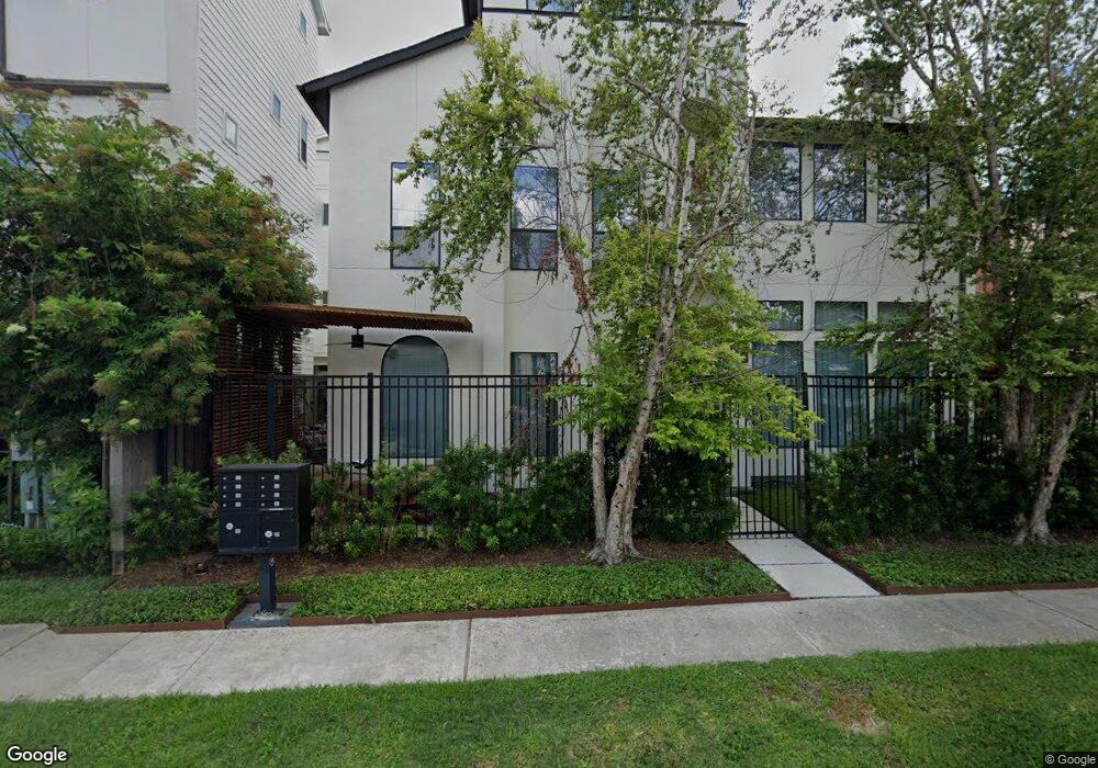
1511 Missouri St Unit 1 Houston, TX 77006
Montrose NeighborhoodEstimated Value: $760,000 - $791,000
3
Beds
4
Baths
2,982
Sq Ft
$261/Sq Ft
Est. Value
About This Home
This home is located at 1511 Missouri St Unit 1, Houston, TX 77006 and is currently estimated at $777,264, approximately $260 per square foot. 1511 Missouri St Unit 1 is a home located in Harris County with nearby schools including Baker Montessori, Lanier Middle School, and Lamar High School.
Ownership History
Date
Name
Owned For
Owner Type
Purchase Details
Closed on
Dec 10, 2009
Sold by
Bas Concepts Llp
Bought by
Kiser Natalie
Current Estimated Value
Home Financials for this Owner
Home Financials are based on the most recent Mortgage that was taken out on this home.
Original Mortgage
$375,000
Outstanding Balance
$246,597
Interest Rate
5.06%
Mortgage Type
Purchase Money Mortgage
Estimated Equity
$530,667
Create a Home Valuation Report for This Property
The Home Valuation Report is an in-depth analysis detailing your home's value as well as a comparison with similar homes in the area
Home Values in the Area
Average Home Value in this Area
Purchase History
| Date | Buyer | Sale Price | Title Company |
|---|---|---|---|
| Kiser Natalie | -- | Old Republic Title Company O |
Source: Public Records
Mortgage History
| Date | Status | Borrower | Loan Amount |
|---|---|---|---|
| Open | Kiser Natalie | $375,000 |
Source: Public Records
Tax History Compared to Growth
Tax History
| Year | Tax Paid | Tax Assessment Tax Assessment Total Assessment is a certain percentage of the fair market value that is determined by local assessors to be the total taxable value of land and additions on the property. | Land | Improvement |
|---|---|---|---|---|
| 2025 | $16,358 | $835,949 | $282,435 | $553,514 |
| 2024 | $16,358 | $781,789 | $267,570 | $514,219 |
| 2023 | $16,358 | $799,707 | $267,570 | $532,137 |
| 2022 | $15,993 | $726,325 | $267,570 | $458,755 |
| 2021 | $16,315 | $700,005 | $267,570 | $432,435 |
| 2020 | $17,524 | $723,672 | $267,570 | $456,102 |
| 2019 | $17,672 | $698,368 | $222,975 | $475,393 |
| 2018 | $13,517 | $679,240 | $175,238 | $504,002 |
| 2017 | $18,973 | $715,000 | $175,238 | $539,762 |
| 2016 | $18,973 | $715,000 | $175,238 | $539,762 |
| 2015 | $12,814 | $815,357 | $151,873 | $663,484 |
| 2014 | $12,814 | $708,699 | $116,825 | $591,874 |
Source: Public Records
Map
Nearby Homes
- 2516 Commonwealth St Unit 102
- 1515 Hyde Park Blvd Unit 1
- 1515 Hyde Park Blvd Unit 14
- 1621 California St
- 1621 Cherryhurst St
- 1621 Haver St
- 3403 Yupon St
- 2403 Commonwealth St
- 1709 Haver St
- 2410 Waugh Dr Unit 4C
- 2410 Waugh Dr Unit 3
- 1724 Cherryhurst St
- 2506 Van Buren St
- 1412 Harold St
- 1316 Hyde Park Blvd
- 2407 Waugh Dr
- 1406 Fairview Ave
- 1101 Hawthorne St
- 3515 Yupon St
- 1324 Fairview St
- 1511 Missouri St
- 1511 Missouri St Unit 4
- 1511 Missouri St Unit 2
- 1511 Missouri St Unit 6
- 1511 Missouri St Unit 3
- 1504 California St Unit 1
- 1504 California St
- 1504 California St
- 1508 California St Unit 10
- 1508 California St Unit 1
- 1508 California St
- 1508 California St
- 1508 California St
- 1508 California St
- 2620 Commonwealth St
- 1515 Missouri St Unit 5
- 1515 Missouri St Unit 7
- 1515 Missouri St Unit 11
- 1515 Missouri St Unit 1
- 1515 Missouri St