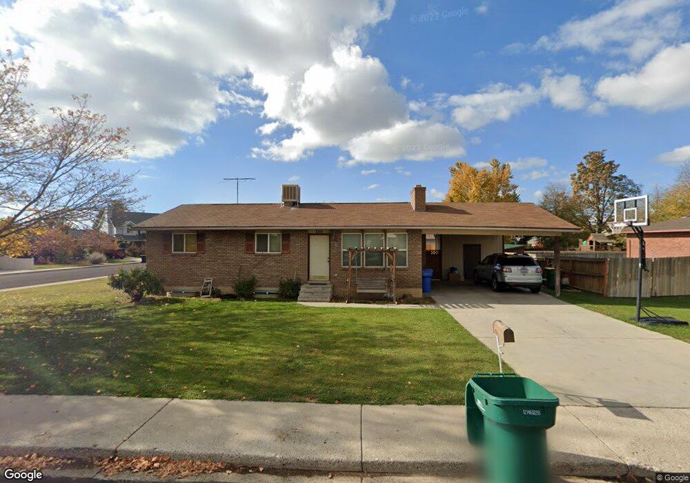
1511 N 650 W Orem, UT 84057
Bonneville NeighborhoodEstimated Value: $479,000 - $490,000
3
Beds
1
Bath
1,107
Sq Ft
$437/Sq Ft
Est. Value
About This Home
This home is located at 1511 N 650 W, Orem, UT 84057 and is currently estimated at $483,691, approximately $436 per square foot. 1511 N 650 W is a home located in Utah County with nearby schools including Bonneville Elementary School, Orem Junior High School, and Timpanogos High School.
Ownership History
Date
Name
Owned For
Owner Type
Purchase Details
Closed on
Sep 22, 2017
Sold by
Craig W Morrison
Bought by
Robinson Robert and Robinson Jill
Current Estimated Value
Home Financials for this Owner
Home Financials are based on the most recent Mortgage that was taken out on this home.
Original Mortgage
$154,300
Outstanding Balance
$128,608
Interest Rate
3.83%
Estimated Equity
$355,083
Purchase Details
Closed on
Aug 19, 1996
Sold by
Garn Martin R and Garn Lisa H
Bought by
Robinson Robert S and Robinson Jill G
Home Financials for this Owner
Home Financials are based on the most recent Mortgage that was taken out on this home.
Original Mortgage
$119,325
Interest Rate
8.42%
Mortgage Type
FHA
Create a Home Valuation Report for This Property
The Home Valuation Report is an in-depth analysis detailing your home's value as well as a comparison with similar homes in the area
Home Values in the Area
Average Home Value in this Area
Purchase History
| Date | Buyer | Sale Price | Title Company |
|---|---|---|---|
| Robinson Robert | -- | -- | |
| Robinson Robert S | -- | -- |
Source: Public Records
Mortgage History
| Date | Status | Borrower | Loan Amount |
|---|---|---|---|
| Open | Robinson Robert | $154,300 | |
| Closed | Robinson Robert | -- | |
| Previous Owner | Robinson Robert S | $119,325 |
Source: Public Records
Tax History
| Year | Tax Paid | Tax Assessment Tax Assessment Total Assessment is a certain percentage of the fair market value that is determined by local assessors to be the total taxable value of land and additions on the property. | Land | Improvement |
|---|---|---|---|---|
| 2025 | $1,694 | $223,795 | -- | -- |
| 2024 | $1,694 | $207,185 | $0 | $0 |
| 2023 | $1,569 | $206,140 | $0 | $0 |
| 2022 | $1,721 | $219,065 | $0 | $0 |
| 2021 | $1,601 | $308,700 | $153,500 | $155,200 |
| 2020 | $1,451 | $275,000 | $122,800 | $152,200 |
| 2019 | $1,335 | $263,100 | $122,800 | $140,300 |
| 2018 | $1,290 | $243,000 | $112,300 | $130,700 |
| 2017 | $1,226 | $123,695 | $0 | $0 |
| 2016 | $1,275 | $118,580 | $0 | $0 |
| 2015 | $1,177 | $103,510 | $0 | $0 |
| 2014 | $1,142 | $99,990 | $0 | $0 |
Source: Public Records
Map
Nearby Homes
- 1552 N 740 W
- 1405 N 770 W
- 1545 N State St Unit 1
- 512 W 1450 N
- 531 W 1350 N
- 582 W 1300 N
- 1244 N 580 W
- 1461 N Amiron Way Unit D
- 1461 N Amiron Way Unit B
- 967 W 1630 N
- 332 W Amiron Way Unit D
- 1663 N 980 W
- 686 W 1870 N Unit 12
- 538 W 1120 N
- 1547 N 275 West St Unit 5
- 1566 N 275 West St Unit 1
- 1123 N 800 W
- 1917 N 860 W
- 1167 W 1550 N
- 999 W 1100 N
Your Personal Tour Guide
Ask me questions while you tour the home.