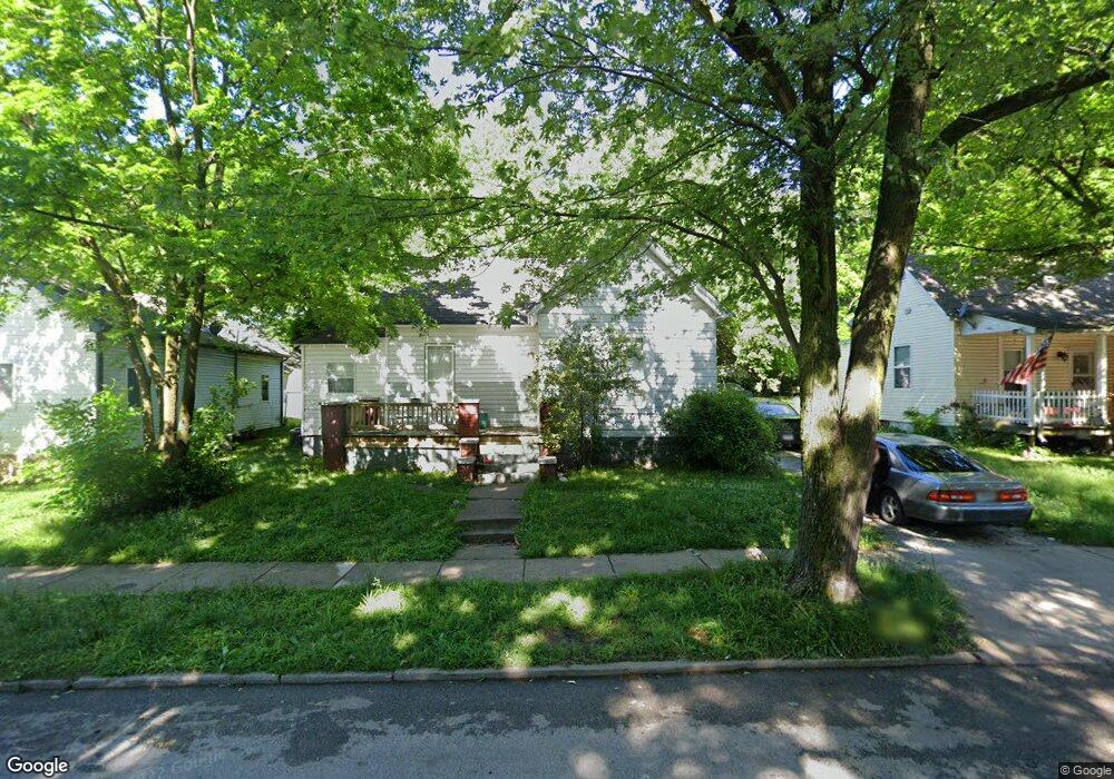
1511 N Douglas Ave Springfield, MO 65803
Woodland Heights NeighborhoodEstimated Value: $94,015 - $124,000
2
Beds
1
Bath
772
Sq Ft
$140/Sq Ft
Est. Value
About This Home
This home is located at 1511 N Douglas Ave, Springfield, MO 65803 and is currently estimated at $108,004, approximately $139 per square foot. 1511 N Douglas Ave is a home located in Greene County with nearby schools including Weaver Elementary School, Pipkin Middle School, and Central High School.
Ownership History
Date
Name
Owned For
Owner Type
Purchase Details
Closed on
Sep 15, 2008
Sold by
Linder Hershel
Bought by
417 Rentals Llc
Current Estimated Value
Purchase Details
Closed on
Aug 4, 2006
Sold by
Schedlbaur Marc
Bought by
Linder Hershel
Purchase Details
Closed on
Jun 13, 2005
Sold by
Philips Jimmy Lee and Philips Dortha
Bought by
Degraffenreid Joe and Degraffenreid Chery
Purchase Details
Closed on
Jun 8, 2005
Sold by
Phillips Jimmy Lee and Schunder Sue
Bought by
Degraffenreid Joe and Degraffenreid Cheryl
Create a Home Valuation Report for This Property
The Home Valuation Report is an in-depth analysis detailing your home's value as well as a comparison with similar homes in the area
Home Values in the Area
Average Home Value in this Area
Purchase History
| Date | Buyer | Sale Price | Title Company |
|---|---|---|---|
| 417 Rentals Llc | -- | None Available | |
| Linder Hershel | -- | Lincoln Evans Land Title Co | |
| Degraffenreid Joe | -- | None Available | |
| Degraffenreid Joe | -- | None Available |
Source: Public Records
Tax History Compared to Growth
Tax History
| Year | Tax Paid | Tax Assessment Tax Assessment Total Assessment is a certain percentage of the fair market value that is determined by local assessors to be the total taxable value of land and additions on the property. | Land | Improvement |
|---|---|---|---|---|
| 2025 | $446 | $8,950 | $3,330 | $5,620 |
| 2024 | $351 | $6,550 | $1,670 | $4,880 |
| 2023 | $349 | $6,550 | $1,670 | $4,880 |
| 2022 | $354 | $6,480 | $1,670 | $4,810 |
| 2021 | $354 | $6,480 | $1,670 | $4,810 |
| 2020 | $364 | $6,380 | $1,670 | $4,710 |
| 2019 | $354 | $6,380 | $1,670 | $4,710 |
| 2018 | $301 | $5,430 | $1,670 | $3,760 |
| 2017 | $298 | $5,470 | $1,670 | $3,800 |
| 2016 | $300 | $5,470 | $1,670 | $3,800 |
| 2015 | $297 | $5,470 | $1,670 | $3,800 |
| 2014 | $299 | $5,470 | $1,670 | $3,800 |
Source: Public Records
Map
Nearby Homes
- 1512 N Missouri Ave
- 716 W Division St
- 1465 N Grant Ave
- 612 W Pacific St
- 521 W Locust St
- 1026 W Commercial St
- 1032 W Commercial St
- 1042 W Commercial St
- 1056 W Commercial St
- 1027 W Division St
- 1511 N Lyon Ave
- 1032 W Locust St
- 543 W Lynn St
- 1318 N Douglas Ave
- 1030 W Chase St
- 1863 N Grant Ave
- 1230 N Grant Ave
- 832 W Calhoun St
- 1890 N Douglas Ave
- 835 N Campbell Ave
- 1515 N Douglas Ave
- 809 W Division St
- 801 W Division St
- 815 W Division St
- 1525 N Douglas Ave
- 1514 N Missouri Ave
- 819 W Division St
- 719 W Division St
- 810 W Locust St
- 1516 N Douglas Ave
- 823 W Division St
- 1522 N Douglas Ave
- 816 W Locust St
- 804 W Locust St
- 1522 N Missouri Ave
- 800 W Locust St
- 715 W Division St
- 1526 N Douglas Ave
- 1530 N Douglas Ave
- 724 W Division St