1511 Rockfish Rd Waynesboro, VA 22980
Estimated Value: $561,147 - $607,000
4
Beds
4
Baths
3,196
Sq Ft
$184/Sq Ft
Est. Value
About This Home
This home is located at 1511 Rockfish Rd, Waynesboro, VA 22980 and is currently estimated at $589,287, approximately $184 per square foot. 1511 Rockfish Rd is a home located in Augusta County with nearby schools including Cassell Elementary School, Wilson Middle School, and Wilson Memorial High School.
Ownership History
Date
Name
Owned For
Owner Type
Purchase Details
Closed on
Nov 17, 2011
Sold by
Mullet Lois M
Bought by
Russell Robert D and Vanderstar Judith
Current Estimated Value
Home Financials for this Owner
Home Financials are based on the most recent Mortgage that was taken out on this home.
Original Mortgage
$180,000
Interest Rate
3.98%
Mortgage Type
Credit Line Revolving
Create a Home Valuation Report for This Property
The Home Valuation Report is an in-depth analysis detailing your home's value as well as a comparison with similar homes in the area
Home Values in the Area
Average Home Value in this Area
Purchase History
| Date | Buyer | Sale Price | Title Company |
|---|---|---|---|
| Russell Robert D | $325,000 | None Available |
Source: Public Records
Mortgage History
| Date | Status | Borrower | Loan Amount |
|---|---|---|---|
| Previous Owner | Russell Robert D | $180,000 |
Source: Public Records
Tax History Compared to Growth
Tax History
| Year | Tax Paid | Tax Assessment Tax Assessment Total Assessment is a certain percentage of the fair market value that is determined by local assessors to be the total taxable value of land and additions on the property. | Land | Improvement |
|---|---|---|---|---|
| 2025 | $2,455 | $472,100 | $70,800 | $401,300 |
| 2024 | $2,455 | $472,100 | $70,800 | $401,300 |
| 2023 | $2,303 | $365,600 | $79,500 | $286,100 |
| 2022 | $2,303 | $365,600 | $79,500 | $286,100 |
| 2021 | $2,303 | $365,600 | $79,500 | $286,100 |
| 2020 | $2,303 | $365,600 | $79,500 | $286,100 |
| 2019 | $2,303 | $365,600 | $79,500 | $286,100 |
| 2018 | $2,146 | $340,726 | $79,500 | $261,226 |
| 2017 | $1,976 | $340,726 | $79,500 | $261,226 |
| 2016 | $1,976 | $340,726 | $79,500 | $261,226 |
| 2015 | $1,726 | $340,726 | $79,500 | $261,226 |
| 2014 | $1,726 | $340,726 | $79,500 | $261,226 |
| 2013 | $1,726 | $359,600 | $69,500 | $290,100 |
Source: Public Records
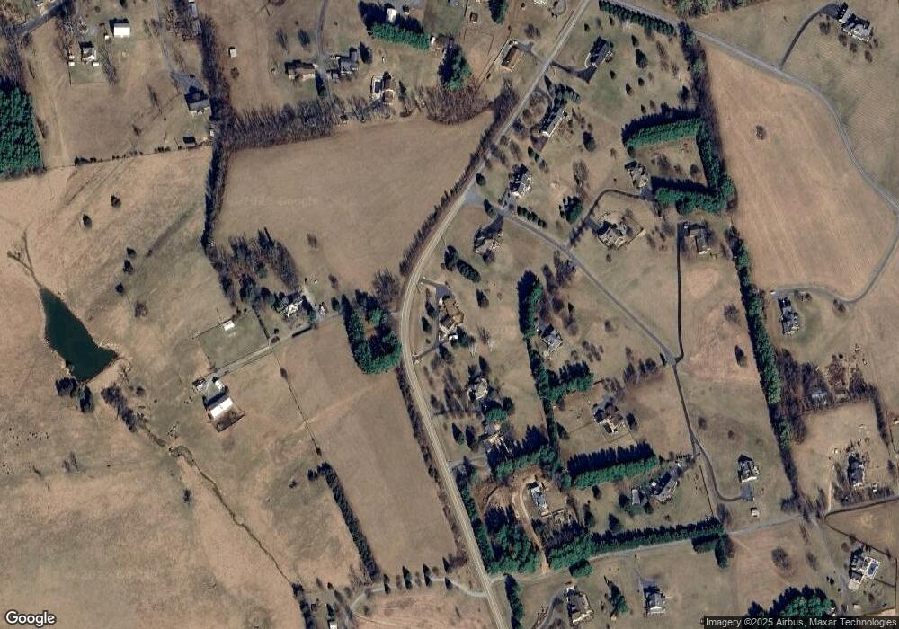
Map
Nearby Homes
- 539 Oak Grove Church Rd
- 643 Cattle Scales Rd
- 64 Northwood Dr
- 15 Lady Slipper Dr
- 18 Lady Slipper Dr
- 77 Laurel Wood Dr
- 41 Lady Slipper Dr
- 114 Laurel Wood Dr
- 67 Crimora Station Ln
- 597 E Side Hwy
- 249 Cattle Scales Rd
- 9 Bradley Ln
- 1430 E Side Hwy
- 2062 E Side Hwy
- tbd Lot 4 Pratts Run Ln
- 800 & 812 W Main St
- tbd Forgotten Ln
- TBD Stuarts Draft Hwy
- tbd1 Calf Mountain Rd
- 2226 E Side Hwy
- 1493 Rockfish Rd
- 5 Porterfield Ln
- 35 Porterfield Ln
- 1479 Rockfish Rd
- 16 Porterfield Ln
- 1522 Rockfish Rd
- 32 Porterfield Ln
- 71 Porterfield Ln
- 18 Sunnyfield Ln
- 1581 Rockfish Rd
- 30 Porterfield Ln
- 61 Harmony Hill Ln
- 1598 Rockfish Rd
- 72 Porterfield Ln
- 34 Harmony Hill Ln
- 89 Porterfield Ln
- 37 Harmony Hill Ln
- 1599 Rockfish Rd
- 855 Hildebrand Church Rd
- 881 Hildebrand Church Rd