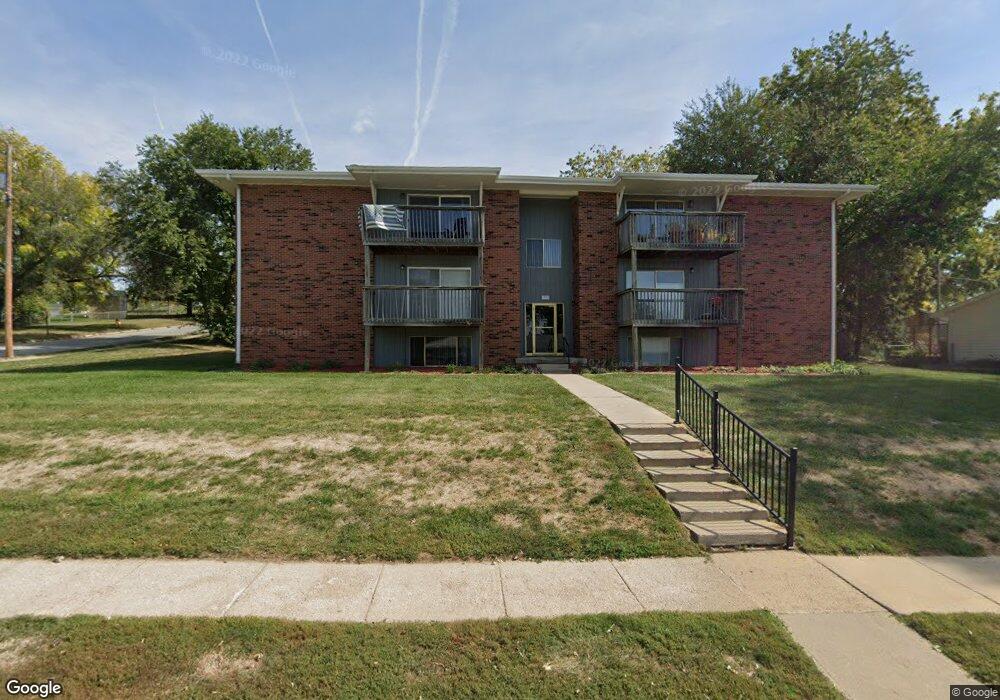
1511 Thomas Dr Bellevue, NE 68005
Estimated Value: $3,220,049
1
Bed
1
Bath
896
Sq Ft
$3,594/Sq Ft
Est. Value
About This Home
This home is located at 1511 Thomas Dr, Bellevue, NE 68005 and is currently estimated at $3,220,049, approximately $3,593 per square foot. 1511 Thomas Dr is a home located in Sarpy County with nearby schools including Twin Ridge Elementary School, Logan Fontenelle Middle School, and Bellevue East High School.
Ownership History
Date
Name
Owned For
Owner Type
Purchase Details
Closed on
Jul 10, 2015
Sold by
Andalus Properties Llc
Bought by
Np Dodge Ix Llc
Current Estimated Value
Purchase Details
Closed on
Nov 29, 2004
Sold by
Crestaire Bellevue Associates Llc
Bought by
Andalus Properties Llc
Purchase Details
Closed on
Mar 1, 1999
Sold by
Tan Crest Apartments Ltd
Bought by
Crestaire Bellevue Associates Llc
Create a Home Valuation Report for This Property
The Home Valuation Report is an in-depth analysis detailing your home's value as well as a comparison with similar homes in the area
Home Values in the Area
Average Home Value in this Area
Purchase History
| Date | Buyer | Sale Price | Title Company |
|---|---|---|---|
| Np Dodge Ix Llc | $1,650,000 | Titlecore National Llc | |
| Andalus Properties Llc | $1,650,000 | -- | |
| Crestaire Bellevue Associates Llc | $958,000 | -- |
Source: Public Records
Tax History Compared to Growth
Tax History
| Year | Tax Paid | Tax Assessment Tax Assessment Total Assessment is a certain percentage of the fair market value that is determined by local assessors to be the total taxable value of land and additions on the property. | Land | Improvement |
|---|---|---|---|---|
| 2025 | $45,550 | $2,722,489 | $568,683 | $2,153,806 |
| 2024 | $66,787 | $2,722,489 | $568,683 | $2,153,806 |
| 2023 | $66,787 | $3,162,885 | $252,748 | $2,910,137 |
| 2022 | $46,942 | $2,181,300 | $252,748 | $1,928,552 |
| 2021 | $43,134 | $1,983,000 | $252,748 | $1,730,252 |
| 2020 | $43,271 | $1,983,000 | $189,561 | $1,793,439 |
| 2019 | $38,882 | $1,793,000 | $189,561 | $1,603,439 |
| 2018 | $34,421 | $1,630,000 | $189,561 | $1,440,439 |
| 2017 | $34,659 | $1,630,000 | $189,561 | $1,440,439 |
| 2016 | $32,998 | $1,586,200 | $189,561 | $1,396,639 |
| 2015 | $31,851 | $1,540,000 | $189,561 | $1,350,439 |
| 2014 | $32,059 | $1,540,000 | $189,561 | $1,350,439 |
| 2012 | -- | $1,540,000 | $189,561 | $1,350,439 |
Source: Public Records
Map
Nearby Homes
- 2108 Randall Dr
- 2303 Greensboro Ave
- 1409 Thomas Dr
- 2212 Greensboro Ave
- 2208 Greensboro Ave
- 2308 Julie Cir
- 2804 Greensboro Ave
- 2113 Twinridge Dr
- 2203 Lloyd St
- 20 Martinview Rd
- 2303 Lloyd St
- 1213 Willow Ave
- 1206 Skyview Dr
- 1302 Wilroy Rd Unit 1
- 1109 Offutt Blvd
- 2813 Bryan Ave
- 1212 W 16th Ave
- 1101 Potter Rd
- 910 Lemay Dr
- 11004 S 18th St
- 1513 Thomas Dr
- 1601 Thomas Dr
- 2217 Greensboro Ave
- 2215 Greensboro Ave
- 1602 Randall Dr
- 2213 Greensboro Ave
- 1603 Thomas Dr
- 2301 Greensboro Ave
- 1604 Randall Dr
- 2211 Greensboro Ave
- 2114 Randall Dr
- 2111 Kimberly Dr
- 1605 Thomas Dr
- 2209 Greensboro Ave
- 1606 Randall Dr
- 2112 Randall Dr
- 2207 Greensboro Ave
- 2216 Greensboro Ave
- 1408 Thomas Dr
- 2305 Greensboro Ave