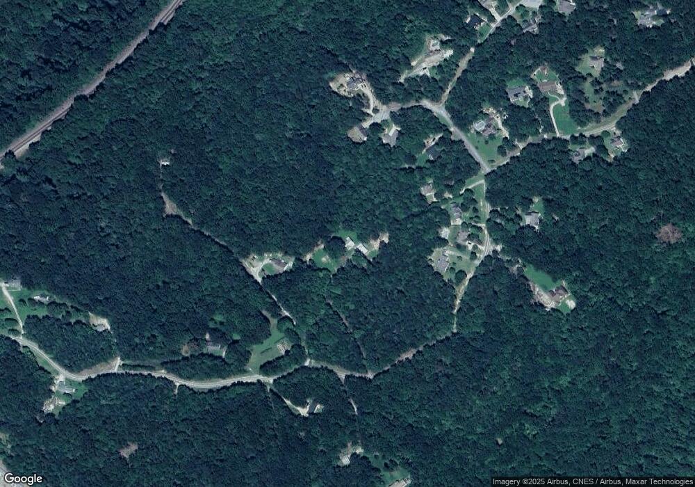
1511 Trestle Ridge Rd Toccoa, GA 30577
Estimated Value: $332,000 - $441,000
3
Beds
4
Baths
1,596
Sq Ft
$241/Sq Ft
Est. Value
About This Home
This home is located at 1511 Trestle Ridge Rd, Toccoa, GA 30577 and is currently estimated at $384,822, approximately $241 per square foot. 1511 Trestle Ridge Rd is a home located in Stephens County with nearby schools including Stephens County High School.
Ownership History
Date
Name
Owned For
Owner Type
Purchase Details
Closed on
Nov 10, 2015
Sold by
Ac & D Real Estate Llp
Bought by
Means Mark
Current Estimated Value
Purchase Details
Closed on
Oct 22, 2014
Sold by
Means Ronnie
Bought by
Means William Mark
Purchase Details
Closed on
Dec 31, 2002
Bought by
Means Ronnie and William Mark
Purchase Details
Closed on
Mar 18, 2002
Bought by
<Buyer Info Not Present>
Purchase Details
Closed on
Sep 5, 2000
Bought by
<Buyer Info Not Present>
Purchase Details
Closed on
May 1, 1994
Bought by
<Buyer Info Not Present>
Create a Home Valuation Report for This Property
The Home Valuation Report is an in-depth analysis detailing your home's value as well as a comparison with similar homes in the area
Home Values in the Area
Average Home Value in this Area
Purchase History
| Date | Buyer | Sale Price | Title Company |
|---|---|---|---|
| Means Mark | $16,500 | -- | |
| Means William Mark | -- | -- | |
| Means Ronnie | $230,000 | -- | |
| <Buyer Info Not Present> | $289,800 | -- | |
| <Buyer Info Not Present> | $90,000 | -- | |
| <Buyer Info Not Present> | -- | -- |
Source: Public Records
Tax History Compared to Growth
Tax History
| Year | Tax Paid | Tax Assessment Tax Assessment Total Assessment is a certain percentage of the fair market value that is determined by local assessors to be the total taxable value of land and additions on the property. | Land | Improvement |
|---|---|---|---|---|
| 2024 | $2,884 | $96,714 | $23,632 | $73,082 |
| 2023 | $2,178 | $91,542 | $23,632 | $67,910 |
| 2022 | $2,570 | $88,326 | $23,632 | $64,694 |
| 2021 | $2,536 | $83,107 | $23,632 | $59,475 |
| 2020 | $2,573 | $83,469 | $23,632 | $59,837 |
| 2019 | $2,583 | $83,469 | $23,632 | $59,837 |
| 2018 | $2,583 | $83,469 | $23,632 | $59,837 |
| 2017 | $2,630 | $83,643 | $23,632 | $60,011 |
| 2016 | $2,442 | $79,019 | $19,008 | $60,011 |
| 2015 | $2,550 | $78,774 | $19,008 | $59,766 |
| 2014 | $2,653 | $80,574 | $19,008 | $61,566 |
| 2013 | -- | $81,328 | $19,008 | $62,320 |
Source: Public Records
Map
Nearby Homes
- 4 Piedmont
- 266 Cawthon Rd
- 0 Highway 184 Unit 7606848
- 0 Highway 184 Unit 10547296
- 16 Terri Ln
- 9369 Sherwood Ct
- 2146 Bend N Hickory Rd
- 0 Louden Ridge Rd Unit 7627451
- 0 Louden Ridge Rd Unit 10578243
- 51 Busha St
- 192 S Pine St
- 476 W Franklin St
- 48 Owen St
- 98 Wood St
- 198 S Broad St
- 149 N Oak St
- 1037 S Pond St
- 1009 S Pond St
- 574 S Sage St
- 49 Argo St
- 1511 Trestle Ridge Rd
- 1560 Trestle Ridge Rd
- 1601 Trestle
- 1600 Trestle Ridge Rd
- 1602 Trestle Ridge Rd
- 1602 Trestle Ridge Rd Unit 30
- 1430 Trestle Ridge Rd
- 339 Cabe Rd
- 1276 Trestle Ridge Rd
- 1164 Trestle Ridge Rd
- 1091 Trestle Ridge Rd
- 0 LOT 60 Trestle Ridge Rd
- LOT 1B Trestle Ridge Rd
- 880 Trestle Ridge Rd
- 7 Trestle Ridge Unit B C
- 2250 Rock Quarry Cir
- 9047B Rock Quarry Cir
- 9047 Rock Quarry Cir
- 68 Cabe Dr Unit TRACT 2
- 141 Cabe Rd
