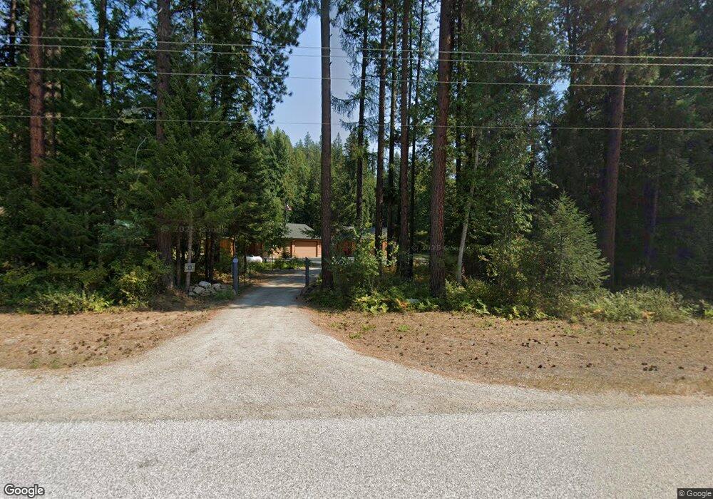
1511 Upper Pack River Rd Sandpoint, ID 83864
Estimated Value: $560,000 - $685,000
3
Beds
2
Baths
1,403
Sq Ft
$442/Sq Ft
Est. Value
About This Home
This home is located at 1511 Upper Pack River Rd, Sandpoint, ID 83864 and is currently estimated at $620,152, approximately $442 per square foot. 1511 Upper Pack River Rd is a home with nearby schools including Kootenai Elementary School, Sandpoint Middle School, and Sandpoint High School.
Ownership History
Date
Name
Owned For
Owner Type
Purchase Details
Closed on
Jul 26, 2019
Sold by
Barnes E Rick and Lynch Barbara A
Bought by
Barnes E Rick and Lynch Barbara A
Current Estimated Value
Home Financials for this Owner
Home Financials are based on the most recent Mortgage that was taken out on this home.
Original Mortgage
$274,000
Outstanding Balance
$240,465
Interest Rate
3.8%
Mortgage Type
VA
Estimated Equity
$379,687
Purchase Details
Closed on
Aug 31, 2007
Sold by
Bohmann Rodney Gustav
Bought by
Lynch Barnes E and Lynch Barbara A
Home Financials for this Owner
Home Financials are based on the most recent Mortgage that was taken out on this home.
Original Mortgage
$248,000
Interest Rate
6.67%
Mortgage Type
New Conventional
Purchase Details
Closed on
Dec 5, 2006
Sold by
Bohmann Monica L
Bought by
Bohmann Rodney G
Create a Home Valuation Report for This Property
The Home Valuation Report is an in-depth analysis detailing your home's value as well as a comparison with similar homes in the area
Home Values in the Area
Average Home Value in this Area
Purchase History
| Date | Buyer | Sale Price | Title Company |
|---|---|---|---|
| Barnes E Rick | -- | North Idaho Title Company | |
| Lynch Barnes E | -- | -- | |
| Bohmann Rodney G | -- | -- |
Source: Public Records
Mortgage History
| Date | Status | Borrower | Loan Amount |
|---|---|---|---|
| Open | Barnes E Rick | $274,000 | |
| Closed | Lynch Barnes E | $248,000 |
Source: Public Records
Tax History
| Year | Tax Paid | Tax Assessment Tax Assessment Total Assessment is a certain percentage of the fair market value that is determined by local assessors to be the total taxable value of land and additions on the property. | Land | Improvement |
|---|---|---|---|---|
| 2025 | $1,425 | $467,531 | $184,799 | $282,732 |
| 2024 | $1,812 | $498,480 | $191,266 | $307,214 |
| 2023 | $1,614 | $521,305 | $194,338 | $326,967 |
| 2022 | $2,071 | $553,114 | $160,364 | $392,750 |
| 2021 | $1,453 | $316,523 | $69,876 | $246,647 |
| 2020 | $1,510 | $287,787 | $64,706 | $223,081 |
| 2019 | $1,115 | $254,737 | $58,280 | $196,457 |
| 2018 | $1,138 | $216,552 | $54,127 | $162,425 |
| 2017 | $1,138 | $217,892 | $0 | $0 |
| 2016 | $1,125 | $222,172 | $0 | $0 |
| 2015 | -- | $224,816 | $0 | $0 |
| 2014 | -- | $222,102 | $0 | $0 |
Source: Public Records
Map
Nearby Homes
- NNA Elk St
- 778 B St
- 1464 Hulett Hill Dr
- 362 Winding Way
- 5 A St
- 842 Samuels Rd
- 870 & 842 Samuels Rd
- 455 Elk Grove Rd
- 870 Samuels Rd
- Parcel B Berry Canyon Rd
- 299 Reload Rd
- 206 Artisan Way
- 774 Old Kootenai Trail
- 533 Artisan Way
- 41 Pinecone Rd
- 250 Chief Joseph Ln
- Lot 14 Ridge Way
- 713 N Center Valley Rd
- 521 Magpie Ln
- NKA Upper Pack River Rd
- 1537 Upper Pack River Rd
- 1477 Upper Pack River Rd
- 1554 Upper Pack River Rd
- 1421 Upper Pack River Rd
- 1478 Upper Pack River Rd
- 1594 Upper Pack River Rd
- 1389 Upper Pack River Rd
- 1671 Upper Pack River Rd
- 1662 Upper Pack River Rd
- 0 Nka Elk Loop
- 1311 Upper Pack River Rd
- 1706 Upper Pack River Rd
- 1702 Upper Pack River Rd
- 1300 Upper Pack River Rd
- 508 Cedar Grove
- NKA Upper Pack River (6 85 Acres)
- NKA Cedar Grove
- NKA Cedar Grove (4 34 Ac)
- 1846 Upper Pack River Rd
- 1138 Upper Pack River Rd
Your Personal Tour Guide
Ask me questions while you tour the home.