1511 W 1900 N Mapleton, UT 84664
Estimated Value: $686,000 - $841,000
7
Beds
4
Baths
3,516
Sq Ft
$219/Sq Ft
Est. Value
About This Home
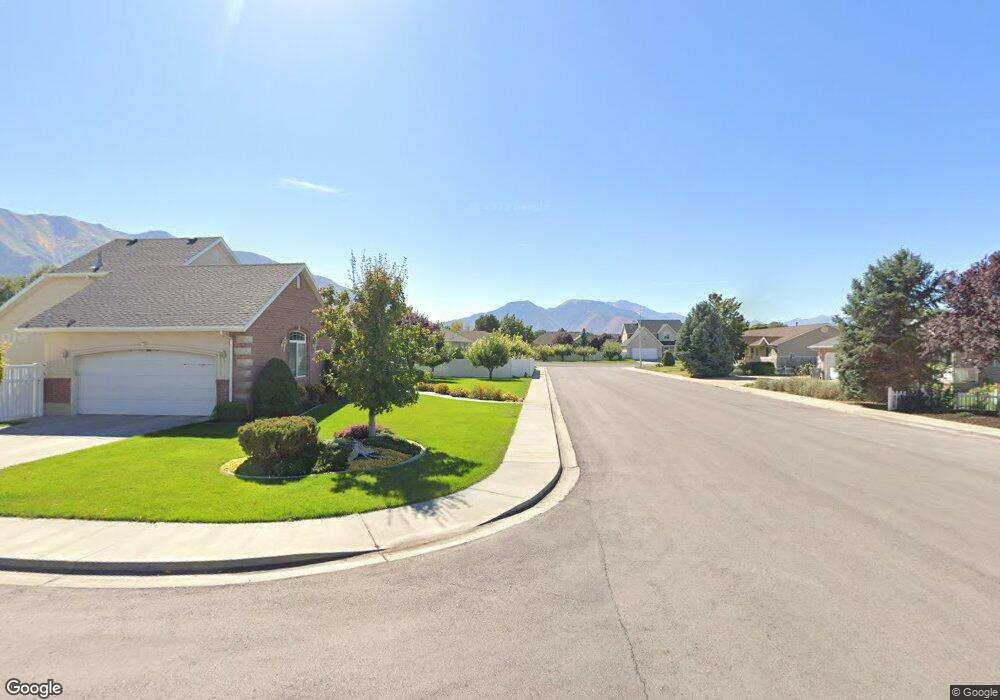
This home is located at 1511 W 1900 N, Mapleton, UT 84664 and is currently estimated at $769,562, approximately $218 per square foot. 1511 W 1900 N is a home located in Utah County with nearby schools including Mapleton School, Mapleton Junior High School, and Maple Mountain High School.
Ownership History
Date
Name
Owned For
Owner Type
Purchase Details
Closed on
May 27, 2016
Sold by
Perrero Bret
Bought by
Pledger Curtis A and Pledger Donna M
Current Estimated Value
Home Financials for this Owner
Home Financials are based on the most recent Mortgage that was taken out on this home.
Original Mortgage
$296,000
Outstanding Balance
$235,660
Interest Rate
3.58%
Mortgage Type
New Conventional
Estimated Equity
$533,902
Purchase Details
Closed on
Nov 5, 2004
Sold by
Stansfield Michael N and Stansfield Mary S
Bought by
Perrero Bret and Perrero Mundi
Home Financials for this Owner
Home Financials are based on the most recent Mortgage that was taken out on this home.
Original Mortgage
$220,000
Interest Rate
5.69%
Mortgage Type
Purchase Money Mortgage
Create a Home Valuation Report for This Property
The Home Valuation Report is an in-depth analysis detailing your home's value as well as a comparison with similar homes in the area
Home Values in the Area
Average Home Value in this Area
Purchase History
| Date | Buyer | Sale Price | Title Company |
|---|---|---|---|
| Pledger Curtis A | -- | Pro Title & Escrow Inc | |
| Perrero Bret | -- | Pro Title & Escrow Inc |
Source: Public Records
Mortgage History
| Date | Status | Borrower | Loan Amount |
|---|---|---|---|
| Open | Pledger Curtis A | $296,000 | |
| Previous Owner | Perrero Bret | $220,000 |
Source: Public Records
Tax History
| Year | Tax Paid | Tax Assessment Tax Assessment Total Assessment is a certain percentage of the fair market value that is determined by local assessors to be the total taxable value of land and additions on the property. | Land | Improvement |
|---|---|---|---|---|
| 2025 | $3,309 | $366,960 | -- | -- |
| 2024 | $3,309 | $324,170 | $0 | $0 |
| 2023 | $3,427 | $337,810 | $0 | $0 |
| 2022 | $3,675 | $358,270 | $0 | $0 |
| 2021 | $3,100 | $464,000 | $160,900 | $303,100 |
| 2020 | $3,078 | $445,500 | $142,400 | $303,100 |
| 2019 | $2,732 | $403,700 | $136,600 | $267,100 |
| 2018 | $2,611 | $367,200 | $115,000 | $252,200 |
| 2017 | $2,479 | $185,020 | $0 | $0 |
| 2016 | $2,440 | $181,060 | $0 | $0 |
| 2015 | $2,374 | $175,120 | $0 | $0 |
| 2014 | $2,248 | $162,855 | $0 | $0 |
Source: Public Records
Map
Nearby Homes
- 1403 S 625 E
- 1121 W 1800 N
- 1518 S 600 E
- 1525 S 400 E Unit 36
- 1410 W 1200 N
- 949 S 1060 E
- 1853 S 375 E
- 899 E 800 S
- 1264 E 1150 S
- 405 W 1200 N Unit 4
- 487 W 1200 N Unit 1
- 677 E 800 South St
- 598 W 1600 N
- 1697 N 500 W
- 579 E 800 St S
- 629 E 800 St S
- 942 Sage Creek Cir
- 883 E 700 S
- 1836 W 800 N
- 1632 S Main St
- 1511 Apple Orchard Ln
- 1535 Apple Orchard Ln
- 1442 W 1800 N
- 1478 W 1800 N
- 1489 Apple Orchard Ln
- 1925 Apple Orchard Ln
- 1412 W 1800 N
- 1922 Apple Orchard Ln
- 1512 W 1800 N
- 1538 Apple Orchard Ln
- 1559 Apple Orchard Ln
- 1951 Apple Orchard Ln
- 1869 N 1350 W
- 1577 Apple Orchard Ln
- 1519 Apple Orchard Ln
- 1901 N 1350 W Unit 3
- 1901 N 1350 W
- 1948 Apple Orchard Ln
- 1841 N 1350 W Unit 5
- 1841 N 1350 W
Your Personal Tour Guide
Ask me questions while you tour the home.