15113 Hubbard Rd West Fork, AR 72774
Estimated Value: $494,000 - $669,000
--
Bed
3
Baths
3,070
Sq Ft
$196/Sq Ft
Est. Value
About This Home
This home is located at 15113 Hubbard Rd, West Fork, AR 72774 and is currently estimated at $603,204, approximately $196 per square foot. 15113 Hubbard Rd is a home located in Washington County with nearby schools including Prairie Grove Elementary School, Prairie Grove Middle School, and Prairie Grove Junior High School.
Ownership History
Date
Name
Owned For
Owner Type
Purchase Details
Closed on
Feb 27, 2017
Sold by
Watson Anthony and Watson Heather
Bought by
Farmer Ronnie D and Farmer Annesa M
Current Estimated Value
Home Financials for this Owner
Home Financials are based on the most recent Mortgage that was taken out on this home.
Original Mortgage
$260,000
Outstanding Balance
$214,603
Interest Rate
4.09%
Mortgage Type
VA
Estimated Equity
$388,601
Create a Home Valuation Report for This Property
The Home Valuation Report is an in-depth analysis detailing your home's value as well as a comparison with similar homes in the area
Home Values in the Area
Average Home Value in this Area
Purchase History
| Date | Buyer | Sale Price | Title Company |
|---|---|---|---|
| Farmer Ronnie D | $260,000 | City Title And Closing Llc |
Source: Public Records
Mortgage History
| Date | Status | Borrower | Loan Amount |
|---|---|---|---|
| Open | Farmer Ronnie D | $260,000 |
Source: Public Records
Tax History Compared to Growth
Tax History
| Year | Tax Paid | Tax Assessment Tax Assessment Total Assessment is a certain percentage of the fair market value that is determined by local assessors to be the total taxable value of land and additions on the property. | Land | Improvement |
|---|---|---|---|---|
| 2025 | $2,256 | $96,060 | $15,560 | $80,500 |
| 2024 | $2,263 | $96,060 | $15,560 | $80,500 |
| 2023 | $2,426 | $96,060 | $15,560 | $80,500 |
| 2022 | $1,731 | $58,750 | $5,120 | $53,630 |
| 2021 | $2,834 | $58,750 | $5,120 | $53,630 |
| 2020 | $2,602 | $58,750 | $5,120 | $53,630 |
| 2019 | $2,389 | $47,350 | $3,970 | $43,380 |
| 2018 | $2,389 | $47,350 | $3,970 | $43,380 |
| 2017 | $1,965 | $47,350 | $3,970 | $43,380 |
| 2016 | $2,015 | $47,350 | $3,970 | $43,380 |
| 2015 | $2,007 | $47,350 | $3,970 | $43,380 |
| 2014 | $1,898 | $44,940 | $3,770 | $41,170 |
Source: Public Records
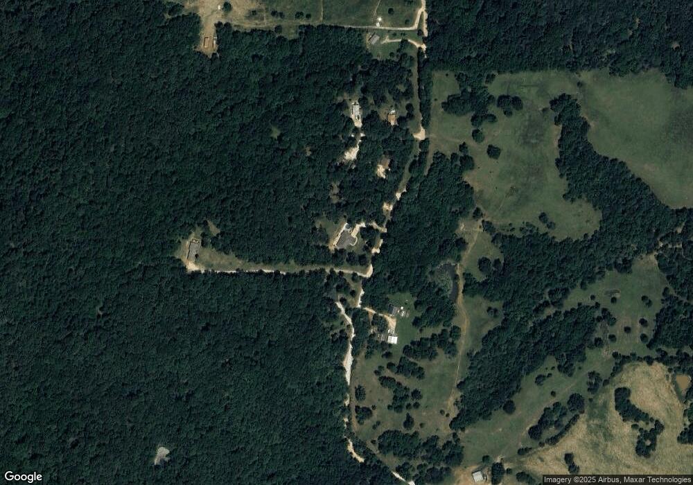
Map
Nearby Homes
- 00 8.86 acres Hubbard Rd
- 00 Hubbard Rd
- 15607 Hubbard Rd
- 16293 Arkansas 265
- 16380 Cove Creek Rd N
- 13184 Cove Creek Rd N
- 30.47 Acres Onda Mountain (Wc 213)
- 841 Petit Jean St
- 16291 S Highway 265
- 14648 Director Rd
- 14295 Blue Mountain Rd
- 16175 N Cove Creek Wc 21 Rd
- 16175 Cove Creek N
- 12930 Baker Mountain Rd
- 13015 Rocky Hill Rd
- 12996 Rocky Hill (Wc 403) Rd
- 7.03 AC Rocky Hill Rd
- 12063 W Highway 156
- 827 Mueller Way
- 12413 Rocky Hill Rd
- 15207 Hubbard Rd
- 01 Hubbard Rd
- 0000 Hubbard Rd
- 15210 Hubbard Rd
- 15045 Hubbard Rd
- 14913 Hubbard Rd
- 15027 Hubbard Rd
- 15305 Hubbard Rd
- 0 Hubbard Rd Unit 451397
- 0 Cr 214
- 0 Hubbard Rd Unit 639890
- 0 Hubbard Rd Unit 674578
- 14879 Hubbard Rd
- 14879 Hubbard Rd
- 14879 Hubbard Rd Unit Tract A & B
- 15073 Hubbard Rd
- 15113 Hubbard Rd
- 14762 Hubbard Rd Unit 214
- 14862 Delight Rd
- 0 Cr 214