15114 Trace Branch Rd West Fork, AR 72774
Estimated Value: $284,000 - $421,000
3
Beds
2
Baths
2,312
Sq Ft
$159/Sq Ft
Est. Value
About This Home
This home is located at 15114 Trace Branch Rd, West Fork, AR 72774 and is currently estimated at $368,524, approximately $159 per square foot. 15114 Trace Branch Rd is a home located in Washington County with nearby schools including Greenland Middle School, Greenland Elementary School, and Greenland High School.
Ownership History
Date
Name
Owned For
Owner Type
Purchase Details
Closed on
Mar 15, 2012
Sold by
Smith Bradley B and Smith Betty R
Bought by
Ledford Bret and Ledford Sunny
Current Estimated Value
Home Financials for this Owner
Home Financials are based on the most recent Mortgage that was taken out on this home.
Original Mortgage
$143,760
Outstanding Balance
$98,941
Interest Rate
3.91%
Mortgage Type
FHA
Estimated Equity
$269,583
Create a Home Valuation Report for This Property
The Home Valuation Report is an in-depth analysis detailing your home's value as well as a comparison with similar homes in the area
Home Values in the Area
Average Home Value in this Area
Purchase History
| Date | Buyer | Sale Price | Title Company |
|---|---|---|---|
| Ledford Bret | $148,000 | Waco Title Company |
Source: Public Records
Mortgage History
| Date | Status | Borrower | Loan Amount |
|---|---|---|---|
| Open | Ledford Bret | $143,760 |
Source: Public Records
Tax History Compared to Growth
Tax History
| Year | Tax Paid | Tax Assessment Tax Assessment Total Assessment is a certain percentage of the fair market value that is determined by local assessors to be the total taxable value of land and additions on the property. | Land | Improvement |
|---|---|---|---|---|
| 2025 | $472 | $47,670 | $18,400 | $29,270 |
| 2024 | $527 | $47,670 | $18,400 | $29,270 |
| 2023 | $579 | $47,670 | $18,400 | $29,270 |
| 2022 | $639 | $31,430 | $9,600 | $21,830 |
| 2021 | $610 | $31,430 | $9,600 | $21,830 |
| 2020 | $582 | $31,430 | $9,600 | $21,830 |
| 2019 | $554 | $28,980 | $7,400 | $21,580 |
| 2018 | $558 | $28,980 | $7,400 | $21,580 |
| 2017 | $482 | $28,980 | $7,400 | $21,580 |
| 2016 | $508 | $29,270 | $7,400 | $21,870 |
| 2015 | $488 | $29,270 | $7,400 | $21,870 |
| 2014 | $494 | $17,522 | $2,842 | $14,680 |
Source: Public Records
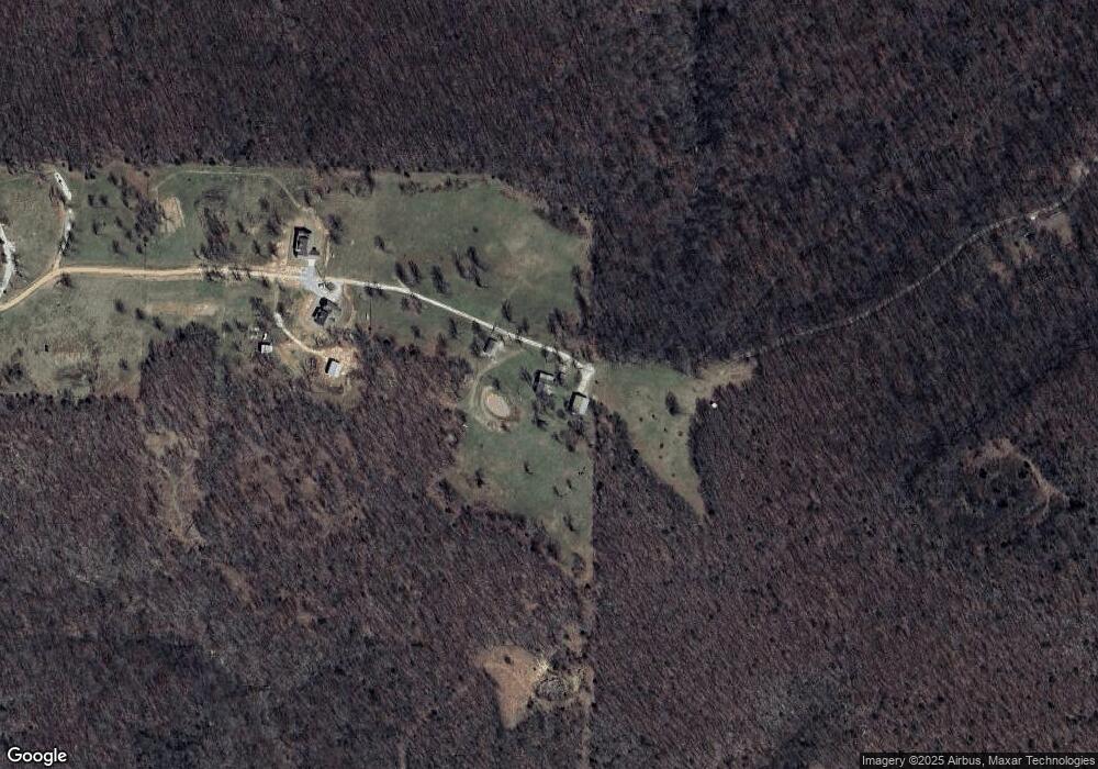
Map
Nearby Homes
- TBD 7.49 Acres Slaty Gap Rd
- TBD 11 Acres Slaty Gap Rd
- 14790 Slaty Gap Rd
- 10578 S Smokey Bear Rd
- 14605 Mineral Springs Rd
- 0 Trace Branch Rd Unit 1293042
- 11724 Brubaker Rd
- 10247 S Smokey Bear Rd
- 12812 Parker Branch Rd
- TBD N Smokey Bear Rd
- 10088 S Whitehouse Rd
- 1464 W Hendon St Unit 101
- 1464 W Hendon St
- 10703 Thunder Rd
- 10030 N Whitehouse Rd
- 14630 E Wallin Mountain Rd
- 51.39 AC E Black Oak Rd
- 14159 Low Gap Wc 100 Rd
- 14163 Low Gap Rd
- 11327 Mountain Spring Dr
- 15112 Trace Branch Rd
- 1608 N Wish Ln
- I-49 (5 33 Acres)
- S City Lake Road Tract 1
- S City Lake Road Tract 2
- S City Lake Road Tract 3
- 4 Ac Lillie Ln
- 15Th & Curtis
- I-49 & Wedington
- 0 Custer Ln Unit 631965
- 11940 Antoinette Rd
- Lot 1 Twin Springs Estates
- 2245 Brookview Dr
- -- Twin Springs
- 1341 Homestead Ln
- 15106 Trace Branch Rd
- 15110 Trace Branch Rd Unit 32
- 15108 Trace Branch Rd
- 15104 Trace Branch Rd
- 15098 Trace Branch Rd