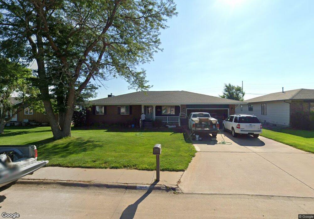
1512 Apache Ave Hastings, NE 68901
Estimated Value: $274,000 - $398,000
3
Beds
3
Baths
1,616
Sq Ft
$202/Sq Ft
Est. Value
About This Home
This home is located at 1512 Apache Ave, Hastings, NE 68901 and is currently estimated at $326,510, approximately $202 per square foot. 1512 Apache Ave is a home located in Adams County with nearby schools including Hastings Senior High School, St. Michael's Preschool & Elementary School, and Zion Lutheran School.
Ownership History
Date
Name
Owned For
Owner Type
Purchase Details
Closed on
Apr 26, 2005
Sold by
Prudential Reslocation Inc
Bought by
Redline Hilarrie L and Redline Timothy F
Current Estimated Value
Home Financials for this Owner
Home Financials are based on the most recent Mortgage that was taken out on this home.
Original Mortgage
$110,000
Interest Rate
5.93%
Mortgage Type
New Conventional
Purchase Details
Closed on
Jan 6, 2005
Sold by
Kappes Steven M and Kappes Diane M
Bought by
Prudetial Relocation Inc
Create a Home Valuation Report for This Property
The Home Valuation Report is an in-depth analysis detailing your home's value as well as a comparison with similar homes in the area
Home Values in the Area
Average Home Value in this Area
Purchase History
| Date | Buyer | Sale Price | Title Company |
|---|---|---|---|
| Redline Hilarrie L | $132,222 | Adams Land Title | |
| Prudetial Relocation Inc | $142,333 | Adams Land Title |
Source: Public Records
Mortgage History
| Date | Status | Borrower | Loan Amount |
|---|---|---|---|
| Closed | Redline Hilarrie L | $110,000 |
Source: Public Records
Tax History Compared to Growth
Tax History
| Year | Tax Paid | Tax Assessment Tax Assessment Total Assessment is a certain percentage of the fair market value that is determined by local assessors to be the total taxable value of land and additions on the property. | Land | Improvement |
|---|---|---|---|---|
| 2024 | $4,344 | $267,933 | $28,080 | $239,853 |
| 2023 | $4,786 | $231,954 | $28,080 | $203,874 |
| 2022 | $4,222 | $187,410 | $28,080 | $159,330 |
| 2021 | $4,058 | $185,070 | $25,740 | $159,330 |
| 2020 | $3,991 | $185,070 | $25,740 | $159,330 |
| 2019 | $3,948 | $185,070 | $25,740 | $159,330 |
| 2018 | $3,736 | $174,210 | $18,720 | $155,490 |
| 2017 | $3,668 | $171,160 | $0 | $0 |
| 2016 | $3,457 | $161,185 | $18,720 | $142,465 |
| 2011 | -- | $149,845 | $16,850 | $132,995 |
Source: Public Records
Map
Nearby Homes
- 1402 Arapahoe Ave
- 1314 N Laird Ave
- 1802 Westchester Dr
- 1225 Heritage Dr
- 1330 Heritage Dr
- 1513 Crane Ave
- 1505 Crane Ave
- 2616 Butterfoot Ln
- 2708 Edgewood Ln
- 1201 Pershing Rd
- 2330 W 11th St
- 1223 Westwood Terrace
- 1911 W 11th St
- 2501 W 10th St
- 2416 W 9th St
- 1814 Boyce St
- 1108 N Baltimore Ave
- 1334 W 12th St
- 736 N Barnes Ave
- 2707 W 9th St
- 1518 Apache Ave
- 1506 Apache Ave
- 1520 Apache Ave
- 1500 Apache Ave
- 1509 Apache Ave
- 1515 Apache Ave
- 1501 Apache Ave
- 1521 Apache Ave
- 1600 Apache Ave
- 1420 Apache Ave
- 1421 Apache Ave
- 2005 Crane Circle Dr
- 1601 Apache Ave
- 1502 Arapahoe Ave
- 2009 Crane Circle Dr
- 1506 Arapahoe Ave
- 1606 Apache Ave
- 1415 Apache Ave
- 1414 Apache Ave
- 1510 Arapahoe Ave