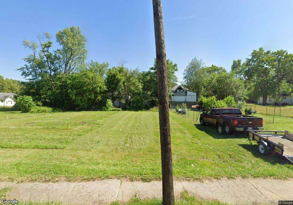
1512 Davison Rd Flint, MI 48506
Eastside Neighborhood
Studio
--
Bath
--
Sq Ft
4,400
Sq Ft Lot
About This Home
This home is located at 1512 Davison Rd, Flint, MI 48506. 1512 Davison Rd is a home located in Genesee County with nearby schools including Doyle/Ryder School, Flint Cultural Center Academy, and WAY Academy of Flint.
Ownership History
Date
Name
Owned For
Owner Type
Purchase Details
Closed on
Jan 24, 2022
Sold by
Genesee County Land Bank Authority
Bought by
Rogers Carl
Purchase Details
Closed on
Nov 28, 2005
Sold by
Drury Curtis L and Drury Denise
Bought by
Tappen James A and Tappen Nancy J
Purchase Details
Closed on
Oct 17, 2005
Sold by
Drury Curtis L and Drury Denise
Bought by
Tappen James A and Tappen Nancy J
Purchase Details
Closed on
Oct 7, 2005
Sold by
Cocke Donald P and Green Judy
Bought by
Tappen James A and Tappen Nancy J
Purchase Details
Closed on
Feb 10, 2004
Sold by
Tappen James A and Tappen Nancy J
Bought by
Drury Curtis L and Cocke Donald P
Purchase Details
Closed on
Mar 12, 2002
Sold by
Tappen Judith A
Bought by
Tappen James A
Create a Home Valuation Report for This Property
The Home Valuation Report is an in-depth analysis detailing your home's value as well as a comparison with similar homes in the area
Home Values in the Area
Average Home Value in this Area
Purchase History
| Date | Buyer | Sale Price | Title Company |
|---|---|---|---|
| Rogers Carl | -- | None Listed On Document | |
| Tappen James A | -- | Sargents Title Company | |
| Tappen James A | -- | Sargents Title | |
| Tappen James A | -- | Sargents Title | |
| Drury Curtis L | -- | Sargents Title Company | |
| Tappen James A | $23,800 | First American Title |
Source: Public Records
Tax History
| Year | Tax Paid | Tax Assessment Tax Assessment Total Assessment is a certain percentage of the fair market value that is determined by local assessors to be the total taxable value of land and additions on the property. | Land | Improvement |
|---|---|---|---|---|
| 2025 | $272 | $2,700 | $0 | $0 |
| 2024 | $246 | $3,800 | $0 | $0 |
| 2023 | $286 | $4,400 | $0 | $0 |
| 2022 | $0 | $0 | $0 | $0 |
| 2021 | $0 | $0 | $0 | $0 |
| 2020 | $0 | $0 | $0 | $0 |
| 2019 | $202 | $0 | $0 | $0 |
| 2018 | $208 | $2,400 | $0 | $0 |
| 2017 | $203 | $0 | $0 | $0 |
| 2016 | $202 | $0 | $0 | $0 |
| 2015 | -- | $0 | $0 | $0 |
| 2014 | -- | $0 | $0 | $0 |
| 2012 | -- | $1,900 | $0 | $0 |
Source: Public Records
Map
Nearby Homes
- 1540 Illinois Ave
- 1529 Broadway Blvd
- 1609 Ohio Ave
- 1379 Washington Ave
- 1724 Ohio Ave
- 1273 Broadway Blvd
- 1805 Bennett Ave
- 1216 Minnesota Ave
- 1318 Cronk Ave
- 1454 Delaware Ave
- 1629 New York Ave
- 1501 Arlington Ave
- 1622 Arlington Ave
- 1721 New York Ave
- 1445 Maryland Ave
- 2506 Arlington Ave
- 2301 Missouri Ave
- 2302 Missouri Ave
- 2218 Kentucky Ave
- 2426 Broadway Blvd
- 1508 Davison Rd
- 1509 Indiana Ave
- 1513 Indiana Ave
- 1507 Indiana Ave
- 1517 Indiana Ave
- 1501 Indiana Ave
- 1521 Indiana Ave
- 1458 Davison Rd
- 1459 Indiana Ave
- 1529 Indiana Ave
- 1453 Indiana Ave
- 1525 Indiana Ave
- 1534 Davison Rd
- 1530 Davison Rd
- 1538 Davison Rd
- 1450 Davison Rd
- 1518 Indiana Ave
- 1533 Indiana Ave
- 1449 Indiana Ave
- 1510 Indiana Ave
Your Personal Tour Guide
Ask me questions while you tour the home.