
Seller's Agent in 2026
Jamie Goodnight
Keller Williams Advantage
(918) 510-0887
139 in this area
308 Total Sales
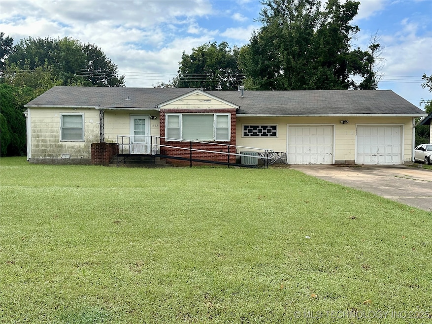
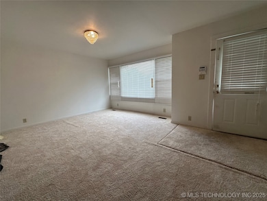
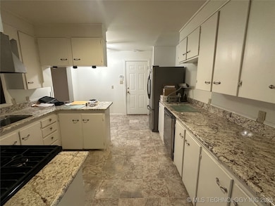
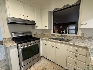
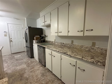
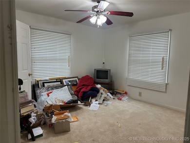
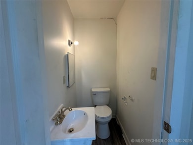
This is a great opportunity to own a home on Okmulgee's East side! This 3 Bedroom home has a split floor plan with 2.5 bathrooms. You will love having 2 living areas as well. The kitchen and bathrooms have some nice upgrades which includes granite in the kitchen. There is a fireplace in the den for those cold winters! The back patio is covered and overlooks a large back yard.
Last Agent to Sell the Property
Keller Williams Advantage License #159613 Listed on: 09/24/2025
| Date | Type | Sale Price | Title Company |
|---|---|---|---|
| Personal Reps Deed | $144,000 | Apex Title & Closing Services | |
| Sheriffs Deed | $83,615 | None Available | |
| Warranty Deed | $95,000 | Ward Title & Closing Inc | |
| Quit Claim Deed | -- | None Available |
| Date | Status | Loan Amount | Loan Type |
|---|---|---|---|
| Open | $122,400 | New Conventional | |
| Previous Owner | $43,222 | New Conventional | |
| Previous Owner | $85,500 | New Conventional |
| Date | Event | Price | List to Sale | Price per Sq Ft |
|---|---|---|---|---|
| 01/12/2026 01/12/26 | Sold | $144,000 | -3.4% | $76 / Sq Ft |
| 12/18/2025 12/18/25 | Pending | -- | -- | -- |
| 12/01/2025 12/01/25 | Price Changed | $149,000 | -6.3% | $78 / Sq Ft |
| 09/24/2025 09/24/25 | For Sale | $159,000 | -- | $84 / Sq Ft |
| Year | Tax Paid | Tax Assessment Tax Assessment Total Assessment is a certain percentage of the fair market value that is determined by local assessors to be the total taxable value of land and additions on the property. | Land | Improvement |
|---|---|---|---|---|
| 2025 | $504 | $6,505 | $540 | $5,965 |
| 2024 | $499 | $6,513 | $540 | $5,973 |
| 2023 | $591 | $7,945 | $540 | $7,405 |
| 2022 | $587 | $7,945 | $540 | $7,405 |
| 2021 | $614 | $7,945 | $540 | $7,405 |
| 2020 | $614 | $7,946 | $540 | $7,406 |
| 2019 | $613 | $7,947 | $540 | $7,407 |
| 2018 | $622 | $7,948 | $540 | $7,408 |
| 2017 | $615 | $7,949 | $540 | $7,409 |
| 2016 | $655 | $8,376 | $540 | $7,836 |
| 2015 | $635 | $8,376 | $540 | $7,836 |
| 2014 | $639 | $8,378 | $540 | $7,838 |
Seller's Agent in 2026
Jamie Goodnight
Keller Williams Advantage
(918) 510-0887
139 in this area
308 Total Sales
J
Buyer's Agent in 2026
Janayshia Grundy
Elevate Realty
(888) 560-3964
3 in this area
10 Total Sales
Source: MLS Technology
MLS Number: 2540688
APN: 1304-00-011-004-0-001-00
Disclaimer: Certain information contained herein is derived from information provided by parties other than Homes.com. All information provided is deemed reliable, but is not guaranteed to be accurate and should be independently verified.
![]() IDX information is provided exclusively for personal, non-commercial use, and may not be used for any purpose other than to identify prospective properties consumers may be interested in purchasing.
IDX information is provided exclusively for personal, non-commercial use, and may not be used for any purpose other than to identify prospective properties consumers may be interested in purchasing.
Information is deemed reliable but not guaranteed.
Ask me questions while you tour the home.