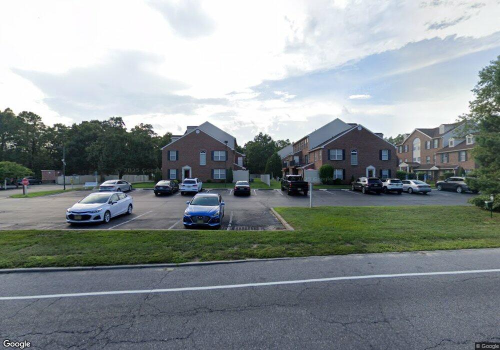
1512 John Adams Ct Unit 1512 Mays Landing, NJ 08330
Estimated Value: $233,225 - $255,000
--
Bed
--
Bath
994
Sq Ft
$248/Sq Ft
Est. Value
About This Home
This home is located at 1512 John Adams Ct Unit 1512, Mays Landing, NJ 08330 and is currently estimated at $246,742, approximately $248 per square foot. 1512 John Adams Ct Unit 1512 is a home located in Atlantic County with nearby schools including George L. Hess Educational Complex, Joseph Shaner School, and William Davies Middle School.
Ownership History
Date
Name
Owned For
Owner Type
Purchase Details
Closed on
Jul 27, 2000
Sold by
M L Enterprises Llc
Bought by
Pafacom Inc
Current Estimated Value
Home Financials for this Owner
Home Financials are based on the most recent Mortgage that was taken out on this home.
Original Mortgage
$85,000
Outstanding Balance
$30,624
Interest Rate
8.13%
Estimated Equity
$216,118
Create a Home Valuation Report for This Property
The Home Valuation Report is an in-depth analysis detailing your home's value as well as a comparison with similar homes in the area
Home Values in the Area
Average Home Value in this Area
Purchase History
| Date | Buyer | Sale Price | Title Company |
|---|---|---|---|
| Pafacom Inc | $82,870 | -- |
Source: Public Records
Mortgage History
| Date | Status | Borrower | Loan Amount |
|---|---|---|---|
| Open | Pafacom Inc | $85,000 |
Source: Public Records
Tax History Compared to Growth
Tax History
| Year | Tax Paid | Tax Assessment Tax Assessment Total Assessment is a certain percentage of the fair market value that is determined by local assessors to be the total taxable value of land and additions on the property. | Land | Improvement |
|---|---|---|---|---|
| 2025 | -- | $107,400 | $25,000 | $82,400 |
| 2024 | -- | $107,400 | $25,000 | $82,400 |
| 2023 | -- | $107,400 | $25,000 | $82,400 |
| 2022 | $0 | $107,400 | $25,000 | $82,400 |
| 2021 | $0 | $107,400 | $25,000 | $82,400 |
| 2020 | $0 | $107,400 | $25,000 | $82,400 |
| 2019 | $0 | $102,400 | $20,000 | $82,400 |
| 2018 | $0 | $102,400 | $20,000 | $82,400 |
| 2017 | $0 | $102,400 | $20,000 | $82,400 |
| 2016 | $0 | $102,400 | $20,000 | $82,400 |
| 2015 | -- | $102,400 | $20,000 | $82,400 |
| 2014 | -- | $126,700 | $30,000 | $96,700 |
Source: Public Records
Map
Nearby Homes
- 1535 Benjamin Franklin Ct Unit 535
- 1535 Benjamin Franklin Ct
- 1544 Ben Franklin Ct
- 1531 Hamilton Ct Unit 231
- 1531 Hamilton Ct
- 1544 Benjamin Franklin Ct
- 1572 Washington Ct Unit 372
- 105 Knights Bridge Way
- 112 Giunta Walk
- 109 Deal Ln
- 76 Gasko Rd
- 4922 Denbigh Ct
- 98 Gasko Rd
- 4944 Flintshire Ct
- 148 Marucci Place
- 4830 Green Ash Ln Unit 287
- 4928 Winterbury Dr Unit N114
- 4915 Winterbury Dr Unit B14
- 4945 Rosebay Place Unit B17
- 4944 Rosebay Place
- 1513 John Adams Ct
- 1511 John Adams Ct Unit 611
- 1514 John Adams Ct Unit 1514
- 1515 John Adams Ct Unit 1515
- 1515 John Adams Ct Unit 615
- 1516 John Adams Ct
- 1525 John Adams Ct Unit 1525
- 1523 John Adams Ct Unit 1523
- 1526 John Adams Ct Unit 1526
- 1524 John Adams Ct
- 1522 John Adams Ct Unit 1522
- 1521 John Adams Ct Unit 1521
- 1541 John Adams Ct Unit 1541
- 1543 John Adams Ct Unit 1543
- 1542 John Adams Ct Unit 542
- 1542 John Adams Ct Unit 1542
- 1544 John Adams Ct Unit 1544
- 1545 John Adams Ct Unit 1545
- 1533 John Adams Ct Unit 1533
- 1535 John Adams Ct Unit 1535