1512 McKay Bay Ct Tampa, FL 33619
Eastside Commercial Tampa NeighborhoodEstimated Value: $118,000
2
Beds
1
Bath
300
Sq Ft
$393/Sq Ft
Est. Value
About This Home
This home is located at 1512 McKay Bay Ct, Tampa, FL 33619 and is currently estimated at $118,000, approximately $393 per square foot. 1512 McKay Bay Ct is a home located in Hillsborough County with nearby schools including Kenly Elementary School, Mann Middle School, and Howard W. Blake High School & Magnet Program.
Ownership History
Date
Name
Owned For
Owner Type
Purchase Details
Closed on
Mar 25, 2020
Sold by
Landx Holdings Llc
Bought by
To Gulf Llc
Current Estimated Value
Purchase Details
Closed on
Jul 13, 2018
Sold by
Gerdau Ameristeel Us Inc
Bought by
Landx Holdings Llc
Home Financials for this Owner
Home Financials are based on the most recent Mortgage that was taken out on this home.
Original Mortgage
$603,585
Interest Rate
4.5%
Mortgage Type
Future Advance Clause Open End Mortgage
Create a Home Valuation Report for This Property
The Home Valuation Report is an in-depth analysis detailing your home's value as well as a comparison with similar homes in the area
Home Values in the Area
Average Home Value in this Area
Purchase History
| Date | Buyer | Sale Price | Title Company |
|---|---|---|---|
| To Gulf Llc | $380,000 | Westchase Title Llc | |
| Landx Holdings Llc | $540,000 | Attorney |
Source: Public Records
Mortgage History
| Date | Status | Borrower | Loan Amount |
|---|---|---|---|
| Previous Owner | Landx Holdings Llc | $603,585 |
Source: Public Records
Tax History Compared to Growth
Tax History
| Year | Tax Paid | Tax Assessment Tax Assessment Total Assessment is a certain percentage of the fair market value that is determined by local assessors to be the total taxable value of land and additions on the property. | Land | Improvement |
|---|---|---|---|---|
| 2024 | $40,147 | $1,869,900 | $919,553 | $950,347 |
| 2023 | $16,864 | $947,492 | $835,948 | $111,544 |
| 2022 | $14,682 | $794,014 | $743,065 | $50,949 |
| 2021 | $10,649 | $785,633 | $743,065 | $42,568 |
| 2020 | $6,954 | $312,666 | $306,504 | $6,162 |
| 2019 | $13,473 | $476,269 | $476,269 | $0 |
| 2018 | $12,797 | $448,434 | $0 | $0 |
| 2017 | $12,472 | $448,434 | $0 | $0 |
| 2016 | $11,701 | $394,630 | $0 | $0 |
| 2015 | $9,570 | $358,755 | $0 | $0 |
| 2014 | $8,435 | $358,755 | $0 | $0 |
| 2013 | -- | $358,755 | $0 | $0 |
Source: Public Records
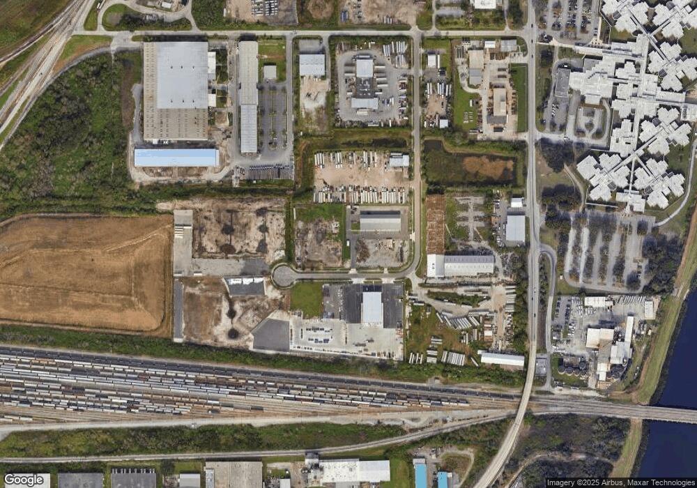
Map
Nearby Homes
- 2210 N 64th St
- 2217 N 64th St
- 7710 Coral Vine Ln
- 2809 Anthony St
- 2011 N 61st St
- 6610 Myrna Dr
- 7408 Celeste Ln
- 0 Eugene St
- 7201 E 21st Ave
- 6925 E 21st Ave
- 6229 Eugene Ave
- 6812 E 21st Ave
- 5260 E 21st Ave
- 806 Papaya Dr
- 815 Papaya Dr
- 7409 & 7411 E 23rd Ave
- 3007 N 76th St
- 605 Winham St
- 6808 New York Dr
- 6902 Rhode Island Dr
- 1512 McKay Bay Ct Unit 2
- 1512 McKay Bay Ct Unit 4
- 1512 McKay Bay Ct Unit 3
- 7103 E 6th Ave
- 7101 E 7th Ave
- 1234 Test St
- 7006 E Adamo Dr Unit 4-6
- 6902 E 6th Ave
- 7182 E 7th Ave Unit 103
- 1902 Orient Rd
- 1906 Orient Rd
- 7001 E Adamo Dr
- 6917 E Adamo Dr
- 1910 Orient Rd
- 6915 E Adamo Dr
- 7501 E Adamo Dr
- 5205 E Adamo Dr
- 2100 Orient Rd
- 7748 E Adamo Dr
- 2417 N 70th St