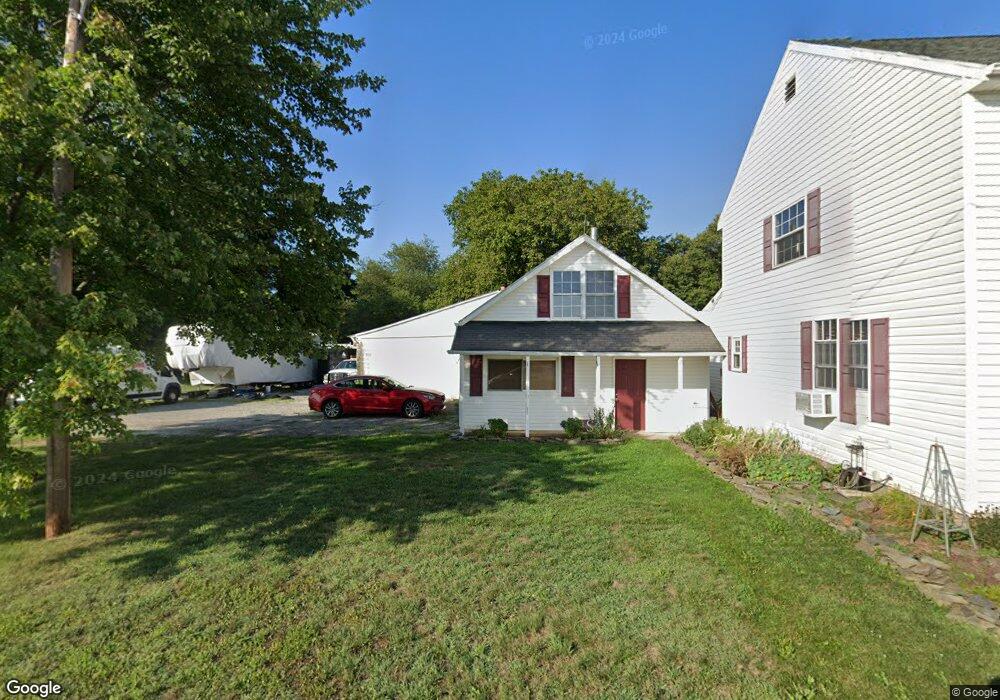
1512 Sells Station Rd Littlestown, PA 17340
Estimated Value: $344,000 - $415,000
4
Beds
2
Baths
2,134
Sq Ft
$179/Sq Ft
Est. Value
About This Home
This home is located at 1512 Sells Station Rd, Littlestown, PA 17340 and is currently estimated at $381,341, approximately $178 per square foot. 1512 Sells Station Rd is a home located in Adams County with nearby schools including Rolling Acres El School, Maple Avenue Middle School, and Littlestown Senior High School.
Ownership History
Date
Name
Owned For
Owner Type
Purchase Details
Closed on
Sep 13, 2005
Sold by
Boese Catherine J
Bought by
Sasser John L and Sasser Dixie L
Current Estimated Value
Home Financials for this Owner
Home Financials are based on the most recent Mortgage that was taken out on this home.
Original Mortgage
$160,000
Outstanding Balance
$84,900
Interest Rate
5.72%
Mortgage Type
New Conventional
Estimated Equity
$296,441
Create a Home Valuation Report for This Property
The Home Valuation Report is an in-depth analysis detailing your home's value as well as a comparison with similar homes in the area
Home Values in the Area
Average Home Value in this Area
Purchase History
| Date | Buyer | Sale Price | Title Company |
|---|---|---|---|
| Sasser John L | -- | -- |
Source: Public Records
Mortgage History
| Date | Status | Borrower | Loan Amount |
|---|---|---|---|
| Open | Sasser John L | $160,000 |
Source: Public Records
Tax History Compared to Growth
Tax History
| Year | Tax Paid | Tax Assessment Tax Assessment Total Assessment is a certain percentage of the fair market value that is determined by local assessors to be the total taxable value of land and additions on the property. | Land | Improvement |
|---|---|---|---|---|
| 2025 | $4,717 | $249,200 | $75,700 | $173,500 |
| 2024 | $4,509 | $249,200 | $75,700 | $173,500 |
| 2023 | $4,420 | $249,200 | $75,700 | $173,500 |
| 2022 | $4,417 | $249,200 | $75,700 | $173,500 |
| 2021 | $4,261 | $249,200 | $75,700 | $173,500 |
| 2020 | $4,200 | $249,200 | $75,700 | $173,500 |
| 2019 | $4,111 | $249,200 | $75,700 | $173,500 |
| 2018 | $4,021 | $249,200 | $75,700 | $173,500 |
| 2017 | $3,883 | $249,200 | $75,700 | $173,500 |
| 2016 | -- | $249,200 | $75,700 | $173,500 |
| 2015 | -- | $249,200 | $75,700 | $173,500 |
| 2014 | -- | $249,200 | $75,700 | $173,500 |
Source: Public Records
Map
Nearby Homes
- 128 Pine Grove Rd Unit 3
- 1175 Bollinger Rd
- 15 Warm Breeze Ct Unit 96
- LOT 9 Mehring Rd
- 43 Ashfield Dr Unit 14
- 11 Shawl Dr
- 92 Red Stone Ln Unit 40
- 84 Red Stone Ln Unit 41
- 87 Eagle Ln
- 41 Buckskin
- 24 Red Stone Ln Unit 47
- 25 Eagle Ln
- 630 Mehring Rd Unit 4
- 108 Flint Dr
- 5694 Hanover Rd
- 113 Flint Dr
- 62 Flint Dr
- 105 Flint Dr
- 54 Flint Dr
- 73 Flint Dr
- 1522 Sells Station Rd
- 1532 Sells Station Rd
- 1490 Sells Station Rd Unit 2
- 1480 Sells Station Rd Unit 9
- 1460 Sells Station Rd Unit 7
- 1589 Sells Station Rd
- 1450 Sells Station Rd Unit 6
- 1442 Sells Station Rd Unit 5
- 15 Creek View Dr Unit 8
- 1760 Hanover Pike
- 25 Creek View Dr Unit 10
- 12 Creek View Dr
- 1415 Sells Station Rd Unit 3
- 10 Creek View Dr Unit 13
- 1385 Sells Station Rd Unit 2
- 1380 Sells Station Rd Unit 3
- 30 Creek View Dr Unit 11
- 1370 Sells Station Rd Unit 2
- 20 Creek View Dr
- 1360 Sells Station Rd Unit 1