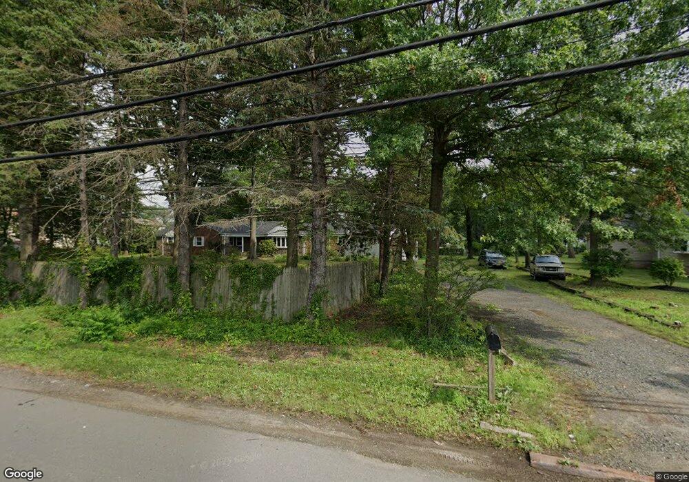
1512 State Route 27 North Brunswick, NJ 08902
Estimated Value: $703,000 - $821,000
3
Beds
3
Baths
2,813
Sq Ft
$279/Sq Ft
Est. Value
About This Home
This home is located at 1512 State Route 27, North Brunswick, NJ 08902 and is currently estimated at $783,858, approximately $278 per square foot. 1512 State Route 27 is a home located in Middlesex County with nearby schools including John Adams Elementary School, Linwood Middle School, and North Brunswick Twp High School.
Ownership History
Date
Name
Owned For
Owner Type
Purchase Details
Closed on
Nov 9, 2018
Sold by
Clark James R and Clark Nancy C
Bought by
Senteio Charles
Current Estimated Value
Home Financials for this Owner
Home Financials are based on the most recent Mortgage that was taken out on this home.
Original Mortgage
$319,920
Outstanding Balance
$280,730
Interest Rate
4.7%
Mortgage Type
New Conventional
Estimated Equity
$503,128
Create a Home Valuation Report for This Property
The Home Valuation Report is an in-depth analysis detailing your home's value as well as a comparison with similar homes in the area
Home Values in the Area
Average Home Value in this Area
Purchase History
| Date | Buyer | Sale Price | Title Company |
|---|---|---|---|
| Senteio Charles | $399,900 | Foundation Title Llc |
Source: Public Records
Mortgage History
| Date | Status | Borrower | Loan Amount |
|---|---|---|---|
| Open | Senteio Charles | $319,920 |
Source: Public Records
Tax History Compared to Growth
Tax History
| Year | Tax Paid | Tax Assessment Tax Assessment Total Assessment is a certain percentage of the fair market value that is determined by local assessors to be the total taxable value of land and additions on the property. | Land | Improvement |
|---|---|---|---|---|
| 2025 | $15,473 | $244,200 | $116,400 | $127,800 |
| 2024 | $15,194 | $244,200 | $116,400 | $127,800 |
| 2023 | $15,194 | $244,200 | $116,400 | $127,800 |
| 2022 | $14,676 | $244,200 | $116,400 | $127,800 |
| 2021 | $10,692 | $244,200 | $116,400 | $127,800 |
| 2020 | $14,129 | $244,200 | $116,400 | $127,800 |
| 2019 | $13,841 | $244,200 | $116,400 | $127,800 |
| 2018 | $13,558 | $244,200 | $116,400 | $127,800 |
| 2017 | $13,319 | $244,200 | $116,400 | $127,800 |
| 2016 | $13,040 | $244,200 | $116,400 | $127,800 |
| 2015 | $12,818 | $244,200 | $116,400 | $127,800 |
| 2014 | $12,674 | $244,200 | $116,400 | $127,800 |
Source: Public Records
Map
Nearby Homes
- 1365 Sioux Rd
- 1632 Hudson Ave
- 1499 La Rose Ave
- 1209 Dakota Rd
- 1464 Columbia Dr
- 1899 Noah Dr
- 1008 Schmidt Ln
- 1027 Schmidt Ln
- 78 Churchill Ave
- 1074 Schmidt Ln
- 210 N Oaks Blvd Unit 210
- 1067 Grove St
- 1010 N Oaks Blvd
- 1103 Schmidt Ln
- 1 Michael Ct
- 1133 Livingston Ave Unit 11C
- 139 Churchill Ave
- 66 Riverbend Dr
- 5208 N Oaks Blvd
- 1314 N Oaks Blvd
- 1532 State Route 27
- 1443 Seminole Rd
- 1490 Osage Rd
- 1484 Osage Rd
- 1532 New Jersey 27
- 1496 Osage Rd
- 1441 Seminole Rd
- 1478 Osage Rd
- 1445 Seminole Rd
- 1485 Osage Rd
- 1466 Osage Rd
- 1435 Seminole Rd
- 1548 State Route 27
- 1467 Mohawk Rd
- 1481 Osage Rd
- 1551 N Mohawk Place
- 1477 Osage Rd
- 1480 State Route 27
- 1460 Osage Rd
- 1556 State Route 27