15120 Carter Rd Philadelphia, PA 19116
Somerton NeighborhoodEstimated Value: $347,000 - $352,540
3
Beds
2
Baths
1,097
Sq Ft
$319/Sq Ft
Est. Value
About This Home
This home is located at 15120 Carter Rd, Philadelphia, PA 19116 and is currently estimated at $350,385, approximately $319 per square foot. 15120 Carter Rd is a home located in Philadelphia County with nearby schools including Watson Comly School, CCA Baldi Middle School, and George Washington High School.
Ownership History
Date
Name
Owned For
Owner Type
Purchase Details
Closed on
Apr 16, 2011
Sold by
Hedgepeth Mary C
Bought by
Cook Henry N and Cook Kathleen M
Current Estimated Value
Home Financials for this Owner
Home Financials are based on the most recent Mortgage that was taken out on this home.
Original Mortgage
$50,012
Outstanding Balance
$2,321
Interest Rate
4.88%
Mortgage Type
New Conventional
Estimated Equity
$348,064
Purchase Details
Closed on
Sep 15, 2009
Sold by
Hedgepeth James J and Hedgepeth Mary C
Bought by
Hedgepeth Mary C
Create a Home Valuation Report for This Property
The Home Valuation Report is an in-depth analysis detailing your home's value as well as a comparison with similar homes in the area
Home Values in the Area
Average Home Value in this Area
Purchase History
| Date | Buyer | Sale Price | Title Company |
|---|---|---|---|
| Cook Henry N | $179,900 | None Available | |
| Hedgepeth Mary C | -- | None Available |
Source: Public Records
Mortgage History
| Date | Status | Borrower | Loan Amount |
|---|---|---|---|
| Open | Cook Henry N | $50,012 |
Source: Public Records
Tax History Compared to Growth
Tax History
| Year | Tax Paid | Tax Assessment Tax Assessment Total Assessment is a certain percentage of the fair market value that is determined by local assessors to be the total taxable value of land and additions on the property. | Land | Improvement |
|---|---|---|---|---|
| 2026 | $3,501 | $321,300 | $64,260 | $257,040 |
| 2025 | $3,501 | $321,300 | $64,260 | $257,040 |
| 2024 | $3,501 | $321,300 | $64,260 | $257,040 |
| 2023 | $3,501 | $250,100 | $50,000 | $200,100 |
| 2022 | $2,438 | $205,100 | $50,000 | $155,100 |
| 2021 | $3,068 | $0 | $0 | $0 |
| 2020 | $3,068 | $0 | $0 | $0 |
| 2019 | $2,889 | $0 | $0 | $0 |
| 2018 | $2,664 | $0 | $0 | $0 |
| 2017 | $2,664 | $0 | $0 | $0 |
| 2016 | $2,244 | $0 | $0 | $0 |
| 2015 | $2,148 | $0 | $0 | $0 |
| 2014 | -- | $190,300 | $78,936 | $111,364 |
| 2012 | -- | $26,048 | $3,654 | $22,394 |
Source: Public Records
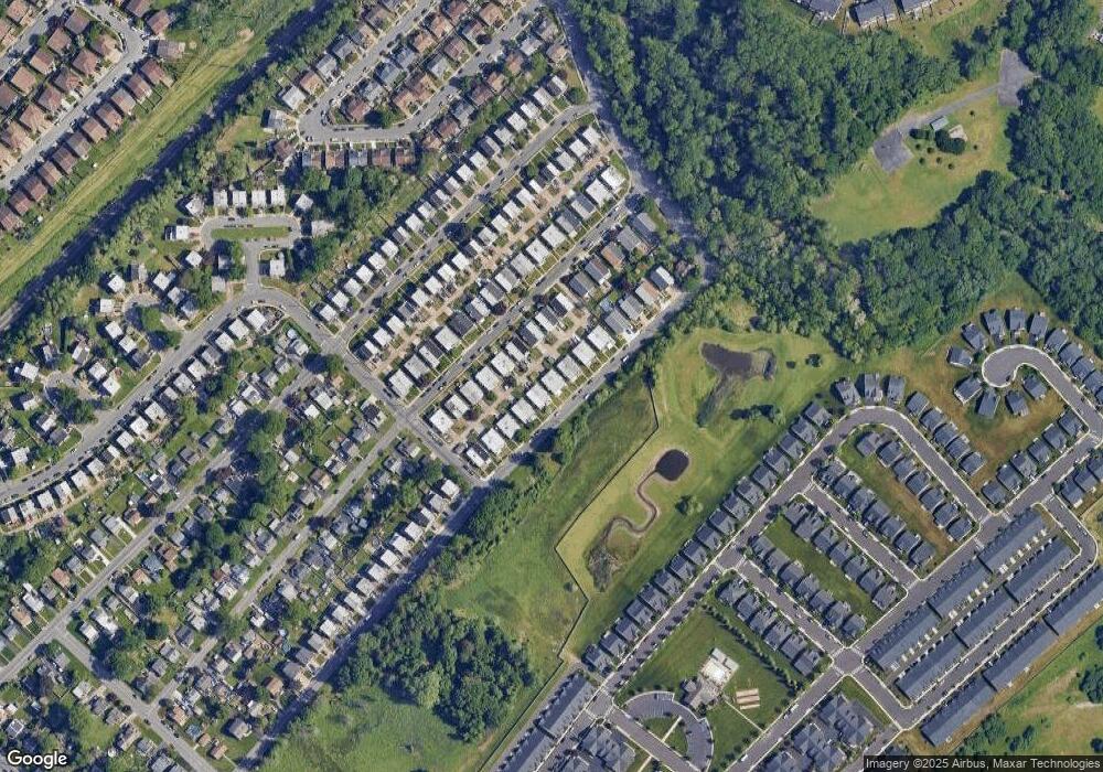
Map
Nearby Homes
- 2680 Iris Ln
- 1346 Wales Place
- 15033 London Rd
- 15022 Dahlia Dr
- 161 Graystone Dr
- 15137 Ina Dr
- 193 Graystone Dr
- 2411 Paris Ave
- 15110 Ina Dr
- 15162 Wayside Rd
- 15014 Theresa Dr
- 15202 Bernita Dr
- 15019 Worthington Rd Unit B
- 2611 Linconia Ave
- 2441 Trevose Rd
- 13430 Worthington Rd
- 121 Trevose Rd
- 1216 Anna Dr
- 13027 Worthington Rd
- 2666 Madara Rd
- 15118 Carter Rd
- 15122 Carter Rd
- 15116 Carter Rd
- 15124 Carter Rd
- 15114 Carter Rd
- 15126 Carter Rd
- 15112 Carter Rd
- 15128 Carter Rd
- 15121 Milford St
- 15123 Milford St
- 15119 Milford St
- 15125 Milford St
- 15117 Milford St
- 15127 Milford St
- 15110 Carter Rd
- 15130 Carter Rd
- 15115 Milford St
- 15129 Milford St
- 15113 Milford St
- 15108 Carter Rd