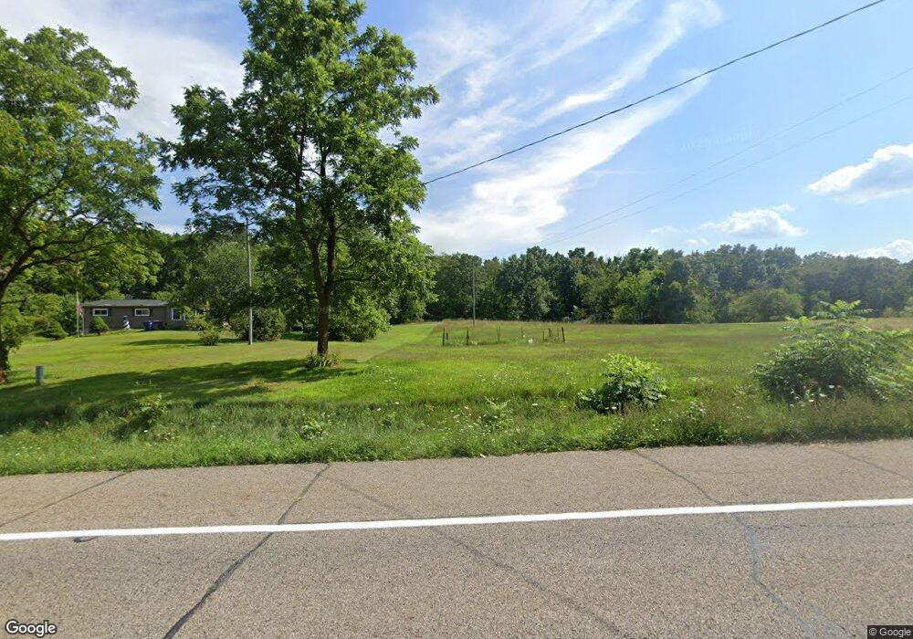
15127 Us Highway 12 Brooklyn, MI 49230
Estimated Value: $290,000 - $359,311
--
Bed
2
Baths
1,456
Sq Ft
$226/Sq Ft
Est. Value
About This Home
This home is located at 15127 Us Highway 12, Brooklyn, MI 49230 and is currently estimated at $328,437, approximately $225 per square foot. 15127 Us Highway 12 is a home located in Lenawee County with nearby schools including Columbia Lower Elementary School, Columbia Upper Elementary School, and Columbia Central Jr./Sr. High School.
Ownership History
Date
Name
Owned For
Owner Type
Purchase Details
Closed on
Nov 27, 2019
Sold by
Hunter Mark W and Hunter Edith K
Bought by
Penn Marianne
Current Estimated Value
Home Financials for this Owner
Home Financials are based on the most recent Mortgage that was taken out on this home.
Original Mortgage
$166,250
Outstanding Balance
$146,860
Interest Rate
3.7%
Mortgage Type
Stand Alone Refi Refinance Of Original Loan
Estimated Equity
$181,577
Create a Home Valuation Report for This Property
The Home Valuation Report is an in-depth analysis detailing your home's value as well as a comparison with similar homes in the area
Home Values in the Area
Average Home Value in this Area
Purchase History
| Date | Buyer | Sale Price | Title Company |
|---|---|---|---|
| Penn Marianne | $175,000 | None Available |
Source: Public Records
Mortgage History
| Date | Status | Borrower | Loan Amount |
|---|---|---|---|
| Open | Penn Marianne | $166,250 |
Source: Public Records
Tax History Compared to Growth
Tax History
| Year | Tax Paid | Tax Assessment Tax Assessment Total Assessment is a certain percentage of the fair market value that is determined by local assessors to be the total taxable value of land and additions on the property. | Land | Improvement |
|---|---|---|---|---|
| 2025 | $3,412 | $134,400 | $0 | $0 |
| 2024 | $1,871 | $126,800 | $0 | $0 |
| 2023 | -- | $113,000 | $0 | $0 |
| 2022 | $2,447 | $97,000 | $0 | $0 |
| 2021 | $2,404 | $95,000 | $0 | $0 |
| 2020 | $3,917 | $65,600 | $0 | $0 |
| 2019 | $0 | $65,600 | $0 | $0 |
| 2018 | $1,605 | $64,605 | $0 | $0 |
| 2017 | $1,547 | $65,675 | $0 | $0 |
| 2016 | $1,535 | $65,174 | $0 | $0 |
| 2014 | -- | $62,473 | $0 | $0 |
Source: Public Records
Map
Nearby Homes
- 15821 U S 12
- 14800 Canary Ct
- 900 Pamawa Dr
- 61 Pamawa Dr
- Lot 62 Pamawa Dr
- 186 Harris Dr
- 15255 Wheaton Rd
- 15816 Sanford Rd
- 13505 Vischer Rd
- 9304 Parkhurst Hwy
- 6977 Cement City Rd
- 12999 U S 12
- 12938 Kelley Rd
- 129 Kathy Ln
- 120 Kathy Ln
- 10911 Devils Lake Hwy
- 104 High View Ct
- 8000 Parkhurst Hwy Unit Carroll Dr ((1175)
- 287 Somerset Dr
- 1268 Maple Ln
- 15127 Us Highway 12
- 15131 Us Highway 12
- 15131 Us Highway 12
- 15131 Us Highway 12
- 15121 Us Highway 12
- 15121 Us Highway 12
- 15126 Us Highway 12
- 15126 Us Highway 12
- 15001 Us Highway 12
- 15200 Us Highway 12
- 15200 Us Highway 12
- 14970 Us Highway 12
- 14970 Us Highway 12
- 14970 Us Highway 12
- 15219 Us Highway 12
- 14950 Us Highway 12
- 14940 Us Highway 12
- 14940 Us Highway 12
- 15260 Us Highway 12
- 15260 Us Highway 12