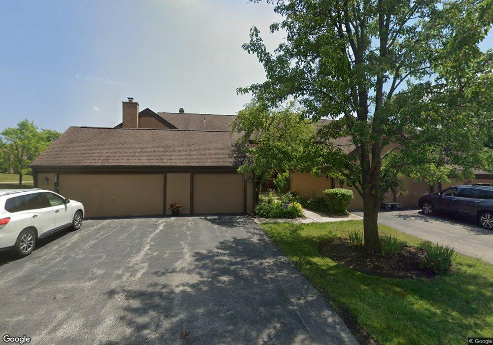
1513 Anderson Ln Unit C2 Buffalo Grove, IL 60089
Estimated Value: $356,153 - $405,000
--
Bed
3
Baths
1,524
Sq Ft
$250/Sq Ft
Est. Value
About This Home
This home is located at 1513 Anderson Ln Unit C2, Buffalo Grove, IL 60089 and is currently estimated at $380,788, approximately $249 per square foot. 1513 Anderson Ln Unit C2 is a home located in Lake County with nearby schools including Kildeer Countryside Elementary School, Woodlawn Middle School, and Adlai E Stevenson High School.
Ownership History
Date
Name
Owned For
Owner Type
Purchase Details
Closed on
Jul 29, 2005
Sold by
Silva Lori S Polin
Bought by
Guzman Oren and Guzman Rhonda L
Current Estimated Value
Home Financials for this Owner
Home Financials are based on the most recent Mortgage that was taken out on this home.
Original Mortgage
$210,000
Outstanding Balance
$109,179
Interest Rate
5.5%
Mortgage Type
Unknown
Estimated Equity
$271,609
Purchase Details
Closed on
Aug 1, 1997
Sold by
Brengard Sarah J
Bought by
Silva Lori S Polin
Home Financials for this Owner
Home Financials are based on the most recent Mortgage that was taken out on this home.
Original Mortgage
$142,650
Interest Rate
7.54%
Create a Home Valuation Report for This Property
The Home Valuation Report is an in-depth analysis detailing your home's value as well as a comparison with similar homes in the area
Home Values in the Area
Average Home Value in this Area
Purchase History
| Date | Buyer | Sale Price | Title Company |
|---|---|---|---|
| Guzman Oren | $287,000 | First American Title | |
| Silva Lori S Polin | $105,666 | Collar Counties Title Plant |
Source: Public Records
Mortgage History
| Date | Status | Borrower | Loan Amount |
|---|---|---|---|
| Open | Guzman Oren | $210,000 | |
| Previous Owner | Silva Lori S Polin | $142,650 |
Source: Public Records
Tax History Compared to Growth
Tax History
| Year | Tax Paid | Tax Assessment Tax Assessment Total Assessment is a certain percentage of the fair market value that is determined by local assessors to be the total taxable value of land and additions on the property. | Land | Improvement |
|---|---|---|---|---|
| 2024 | $8,650 | $97,850 | $27,439 | $70,411 |
| 2023 | $7,571 | $92,329 | $25,891 | $66,438 |
| 2022 | $7,571 | $78,607 | $22,043 | $56,564 |
| 2021 | $7,281 | $77,759 | $24,604 | $53,155 |
| 2020 | $7,110 | $78,024 | $24,688 | $53,336 |
| 2019 | $7,015 | $77,736 | $24,597 | $53,139 |
| 2018 | $6,522 | $74,883 | $23,694 | $51,189 |
| 2017 | $6,395 | $73,135 | $23,141 | $49,994 |
| 2016 | $6,217 | $70,032 | $22,159 | $47,873 |
| 2015 | $6,035 | $65,493 | $20,723 | $44,770 |
| 2014 | $6,042 | $64,705 | $22,256 | $42,449 |
| 2012 | $5,994 | $64,835 | $22,301 | $42,534 |
Source: Public Records
Map
Nearby Homes
- 1117 Franklin Ln Unit C52
- 1325 Fairfax Ln
- 1514 Sumter Dr
- 4106 Bob o Link Ln
- 5107 N Arlington Heights Rd
- 12 Cloverdale Ct
- 1545 Chickamauga Ln
- 1144 Steeple View Dr
- 1146 Steeple View Dr
- 1327 Larchmont Dr
- 1728 Holly Ct
- 5135 Bridlewood Ct
- 620 Twisted Oak Ln
- 760 Checker Dr
- 810 Silver Rock Ln
- 1763 Country Club Dr
- 1315 Gail Dr
- 5255 Danbury Ct
- 1112 Auburn Ln
- 531 Lasalle Ln
- 1511 Anderson Ln Unit C3
- 1509 Anderson Ln Unit C4
- 1507 Anderson Ln Unit C5
- 1515 Anderson Ln Unit C1
- 1505 Anderson Ln
- 1577 Anderson Ln
- 1579 Anderson Ln Unit D3
- 1531 Anderson Ln Unit H1
- 1533 Anderson Ln Unit H2
- 1535 Anderson Ln Unit H3
- 1537 Anderson Ln
- 1537 Anderson Ln Unit H-4
- 1539 Anderson Ln
- 1541 Anderson Ln Unit H6
- 1543 Anderson Ln Unit H7
- 1545 Anderson Ln
- 1492 Fairfax Ln
- 1488 Fairfax Ln Unit J32
- 1480 Fairfax Ln