1513 Carol Ct Unit 2 Jamison, PA 18929
Estimated Value: $426,000 - $453,000
3
Beds
3
Baths
1,548
Sq Ft
$285/Sq Ft
Est. Value
About This Home
This home is located at 1513 Carol Ct Unit 2, Jamison, PA 18929 and is currently estimated at $441,155, approximately $284 per square foot. 1513 Carol Ct Unit 2 is a home located in Bucks County with nearby schools including Warwick Elementary School, Holicong Middle School, and Central Bucks High School - East.
Ownership History
Date
Name
Owned For
Owner Type
Purchase Details
Closed on
Aug 17, 2007
Sold by
Maurer Joanne M
Bought by
Cobo Cristina
Current Estimated Value
Home Financials for this Owner
Home Financials are based on the most recent Mortgage that was taken out on this home.
Original Mortgage
$149,000
Outstanding Balance
$94,291
Interest Rate
6.65%
Mortgage Type
Purchase Money Mortgage
Estimated Equity
$346,864
Purchase Details
Closed on
Mar 20, 1996
Sold by
Fpa Corp
Bought by
Maurer Joanne M
Home Financials for this Owner
Home Financials are based on the most recent Mortgage that was taken out on this home.
Original Mortgage
$135,156
Interest Rate
6.9%
Mortgage Type
FHA
Create a Home Valuation Report for This Property
The Home Valuation Report is an in-depth analysis detailing your home's value as well as a comparison with similar homes in the area
Home Values in the Area
Average Home Value in this Area
Purchase History
| Date | Buyer | Sale Price | Title Company |
|---|---|---|---|
| Cobo Cristina | $290,000 | None Available | |
| Maurer Joanne M | $138,680 | -- |
Source: Public Records
Mortgage History
| Date | Status | Borrower | Loan Amount |
|---|---|---|---|
| Open | Cobo Cristina | $149,000 | |
| Previous Owner | Maurer Joanne M | $135,156 |
Source: Public Records
Tax History Compared to Growth
Tax History
| Year | Tax Paid | Tax Assessment Tax Assessment Total Assessment is a certain percentage of the fair market value that is determined by local assessors to be the total taxable value of land and additions on the property. | Land | Improvement |
|---|---|---|---|---|
| 2025 | $4,867 | $27,960 | -- | $27,960 |
| 2024 | $4,867 | $27,960 | $0 | $27,960 |
| 2023 | $4,712 | $27,960 | $0 | $27,960 |
| 2022 | $4,660 | $27,960 | $0 | $27,960 |
| 2021 | $4,608 | $27,960 | $0 | $27,960 |
| 2020 | $4,608 | $27,960 | $0 | $27,960 |
| 2019 | $4,580 | $27,960 | $0 | $27,960 |
| 2018 | $4,580 | $27,960 | $0 | $27,960 |
| 2017 | $4,545 | $27,960 | $0 | $27,960 |
| 2016 | -- | $27,960 | $0 | $27,960 |
| 2015 | -- | $27,960 | $0 | $27,960 |
| 2014 | -- | $27,960 | $0 | $27,960 |
Source: Public Records
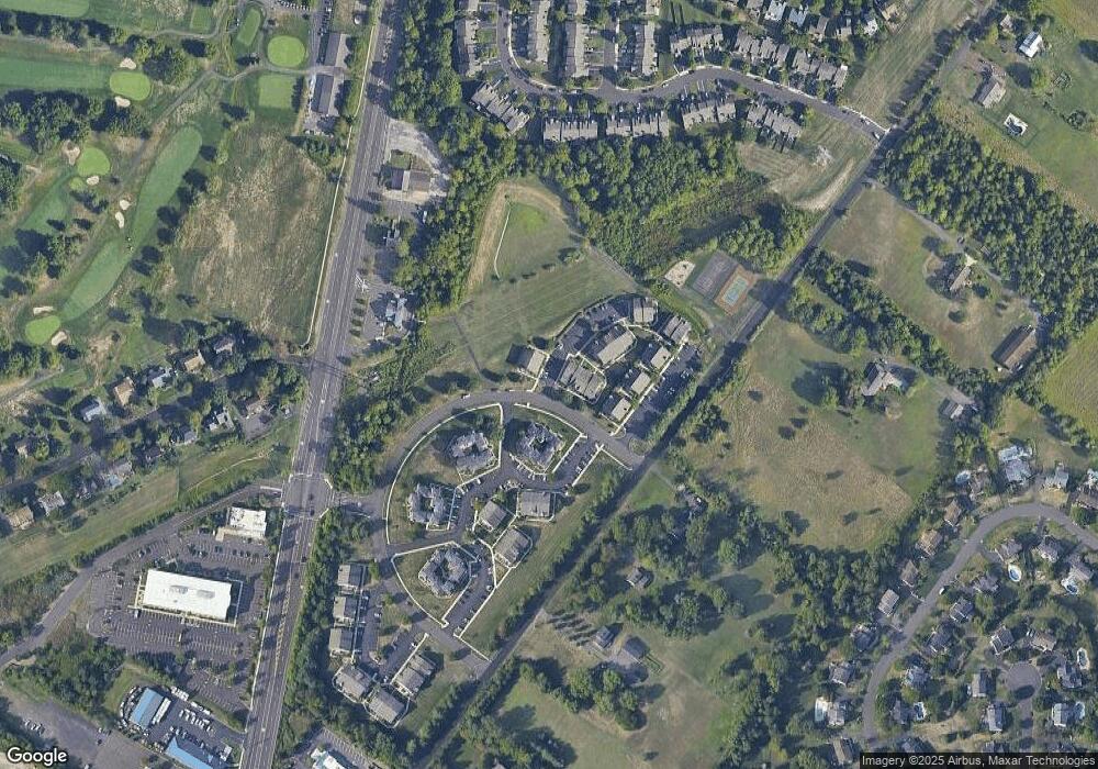
Map
Nearby Homes
- 1530 Spruce Ct
- 108 Eagle Ct Unit 105
- 2227 Sand Trap Rd
- 2127 York Rd
- 1536 Park Dr
- 2429 N Daisey Dr
- 1268 Dogwood Dr
- 1004 Marquis Ln
- Homesite 10102 Marquis Ln
- 3014 Marquis Ln
- 5005 Quartermaster Ln
- Homesite 11001 Marquis Ln
- 5011 Quartermaster Ln
- Homesite 11003 Marquis Ln
- 3020 Marquis Ln
- Homesite 10903 Marquis Ln
- 2417 April Dr
- 1515 Sugar Bottom Rd
- 1990 York Rd
- 1504 Springfield Ct Unit 37
- 1512 Carol Ct Unit 1601
- 1512 Carol Ct Unit 1
- 1519 Carol Ct Unit 8
- 1514 Carol Ct Unit 1603
- 1518 Carol Ct Unit 7
- 1518 Carol Ct Unit 1607
- 1515 Carol Ct Unit 4
- 1515 Carol Ct Unit 1604
- 1508 Carol Ct Unit 1
- 1507 Carol Ct Unit 8
- 1517 Carol Ct Unit 6
- 1506 Carol Ct Unit 7
- 1516 Carol Ct Unit 5
- 1516 Carol Ct Unit 1605
- 1505 Carol Ct Unit 1506
- 1509 Carol Ct Unit 1502
- 1509 Carol Ct Unit 2
- 1506 Deborah Ct Unit 3
- 1505 Deborah Ct Unit 2002
- 1505 Deborah Ct Unit 2