1513 Highway 49 New London, NC 28127
Estimated Value: $588,594 - $2,826,000
3
Beds
3
Baths
5,438
Sq Ft
$236/Sq Ft
Est. Value
About This Home
This home is located at 1513 Highway 49, New London, NC 28127 and is currently estimated at $1,282,899, approximately $235 per square foot. 1513 Highway 49 is a home located in Davidson County with nearby schools including Troy Elementary School, Page Street Elementary School, and West Middle School.
Ownership History
Date
Name
Owned For
Owner Type
Purchase Details
Closed on
Nov 21, 2019
Sold by
Hedrick Harlan Wayne
Bought by
Fales Troy A and Fales Jennifer Dare
Current Estimated Value
Home Financials for this Owner
Home Financials are based on the most recent Mortgage that was taken out on this home.
Original Mortgage
$638,800
Outstanding Balance
$560,854
Interest Rate
3.5%
Estimated Equity
$722,045
Purchase Details
Closed on
Apr 1, 1992
Purchase Details
Closed on
Mar 1, 1981
Create a Home Valuation Report for This Property
The Home Valuation Report is an in-depth analysis detailing your home's value as well as a comparison with similar homes in the area
Home Values in the Area
Average Home Value in this Area
Purchase History
| Date | Buyer | Sale Price | Title Company |
|---|---|---|---|
| Fales Troy A | $798,500 | None Available | |
| -- | $12,500 | -- | |
| -- | $400 | -- |
Source: Public Records
Mortgage History
| Date | Status | Borrower | Loan Amount |
|---|---|---|---|
| Open | Fales Troy A | $638,800 |
Source: Public Records
Tax History Compared to Growth
Tax History
| Year | Tax Paid | Tax Assessment Tax Assessment Total Assessment is a certain percentage of the fair market value that is determined by local assessors to be the total taxable value of land and additions on the property. | Land | Improvement |
|---|---|---|---|---|
| 2025 | $2,028 | $345,960 | $0 | $0 |
| 2024 | $1,976 | $337,170 | $0 | $0 |
| 2023 | $1,976 | $337,170 | $0 | $0 |
| 2022 | $1,976 | $337,170 | $0 | $0 |
| 2021 | $1,976 | $337,170 | $0 | $0 |
| 2020 | $1,926 | $328,630 | $0 | $0 |
| 2019 | $1,935 | $325,210 | $0 | $0 |
| 2018 | $1,935 | $325,210 | $0 | $0 |
| 2017 | $1,935 | $325,210 | $0 | $0 |
| 2016 | $1,935 | $325,190 | $0 | $0 |
| 2015 | $1,935 | $325,190 | $0 | $0 |
| 2014 | $2,004 | $333,960 | $0 | $0 |
Source: Public Records
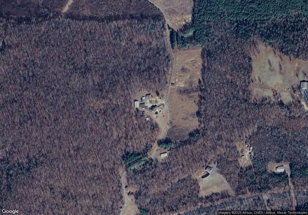
Map
Nearby Homes
- 172 Tuckertown Rd
- 134 Putt Ln
- 117 Cardinal Ave
- 105 Marina Ln
- 134 Cardinal Dr S
- 116 Dove Ln
- 116 3rd Ave
- 111 Club House Dr
- 104 Hummingbird Cir
- 134 Dove Ln
- 101 Hummingbird Cir
- 166 Cardinal Dr
- 113 Hummingbird Cir
- 108 Meadowview Cir
- 110 Meadowview Cir
- 114 Meadowview Cir
- 104 N Cardinal Dr
- 121 S Cardinal Dr
- 1513 Highway 49
- 1513 Highway 49
- 147 Badin Shore Cir
- 186 Badin Shores Cir
- 346 Uwharrie Point Pkwy
- 138 Badin Shore Cir
- 484 Uwharrie Point Pkwy
- 473 Uwharrie Point Pkwy
- Lot 15 Tucker Town Rd
- Lot 21 Tucker Town Rd
- Lot 19 Tucker Town Rd
- Lot 25 Tucker Town Rd
- Lot 23 Tucker Town Rd
- Lot 9 Tucker Town Rd
- Lot 7 Tucker Town Rd
- Lot 11 Tucker Town Rd
- Lot 5 Tucker Town Rd
- Lot 17 Tucker Town Rd
- Lot 3 Tucker Town Rd
- 471 Uwharrie Point Pkwy