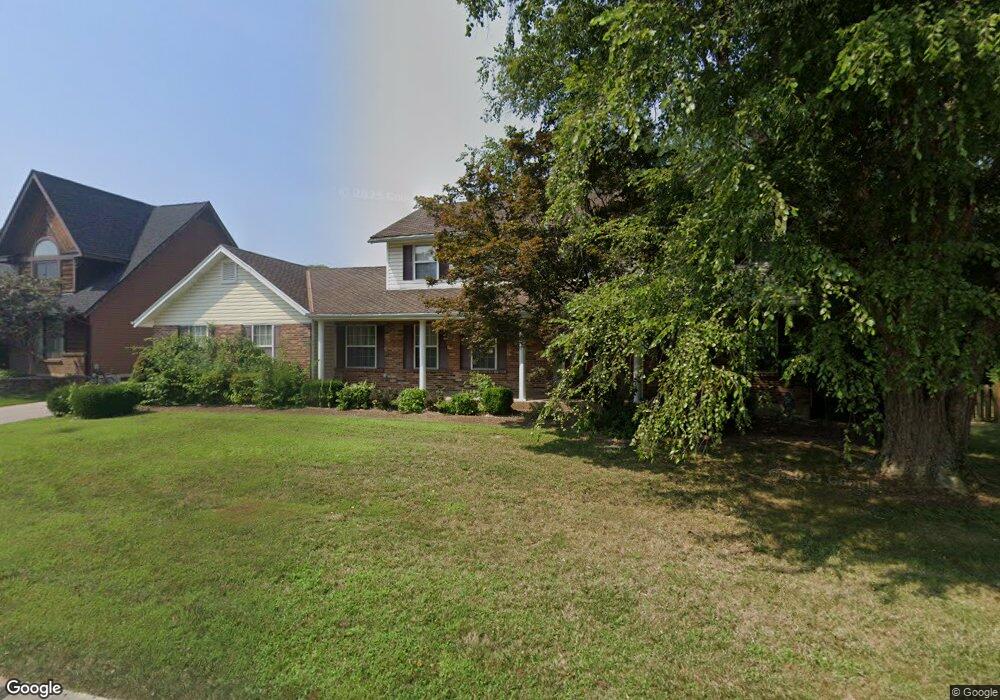
1513 Hudson Landing Saint Charles, MO 63303
Heritage NeighborhoodEstimated Value: $464,236 - $561,000
4
Beds
3
Baths
2,683
Sq Ft
$192/Sq Ft
Est. Value
About This Home
This home is located at 1513 Hudson Landing, Saint Charles, MO 63303 and is currently estimated at $514,309, approximately $191 per square foot. 1513 Hudson Landing is a home located in St. Charles County with nearby schools including Becky-David Elementary School, Barnwell Middle School, and Francis Howell North High School.
Ownership History
Date
Name
Owned For
Owner Type
Purchase Details
Closed on
Mar 18, 2025
Sold by
Murray Aubrey E and Murray Stanley E
Bought by
Aubrey Eugene Murray & Anna Jean Murray Trust and Murray
Current Estimated Value
Create a Home Valuation Report for This Property
The Home Valuation Report is an in-depth analysis detailing your home's value as well as a comparison with similar homes in the area
Home Values in the Area
Average Home Value in this Area
Purchase History
| Date | Buyer | Sale Price | Title Company |
|---|---|---|---|
| Aubrey Eugene Murray & Anna Jean Murray Trust | -- | None Listed On Document |
Source: Public Records
Tax History Compared to Growth
Tax History
| Year | Tax Paid | Tax Assessment Tax Assessment Total Assessment is a certain percentage of the fair market value that is determined by local assessors to be the total taxable value of land and additions on the property. | Land | Improvement |
|---|---|---|---|---|
| 2025 | $4,423 | $80,509 | -- | -- |
| 2023 | $4,417 | $71,554 | $0 | $0 |
| 2022 | $3,969 | $59,529 | $0 | $0 |
| 2021 | $3,960 | $59,529 | $0 | $0 |
| 2020 | $3,862 | $56,583 | $0 | $0 |
| 2019 | $3,848 | $56,583 | $0 | $0 |
| 2018 | $3,414 | $47,894 | $0 | $0 |
| 2017 | $3,396 | $47,894 | $0 | $0 |
| 2016 | $3,271 | $46,251 | $0 | $0 |
| 2015 | $3,236 | $46,251 | $0 | $0 |
| 2014 | $3,001 | $41,585 | $0 | $0 |
Source: Public Records
Map
Nearby Homes
- 1510 Hudson Landing
- 1611 Burnside Ln
- 1633 Mount Vernon Dr Unit 2
- 1355 Hampton Rd Unit B
- 1488 Gettysburg Landing
- 2609 Plantation Point Unit D
- 2605 Plantation Point Unit B
- 2617 Hampton Rd Unit C
- 726 Gran Lin Dr
- 2623 Hampton Rd Unit A
- 1448 Gettysburg Landing
- 1465 Heritage Landing Unit 35
- 1465 Heritage Landing Unit 306
- 1465 Heritage Landing Unit 46 (410)
- 506 Newkirk Cir
- 1449 Gettysburg Landing
- 1380 Heritage Landing Unit 307
- 1380 Heritage Landing Unit 206
- 2949 Oetting Dr
- 1440 Heritage Landing Unit 309
- 1515 Hudson Landing
- 1511 Hudson Landing
- 304 Rotunda Ct
- 302 Rotunda Ct
- 1517 Hudson Landing
- 1509 Hudson Landing
- 1514 Hudson Landing
- 306 Rotunda Ct
- 1512 Hudson Landing
- 1516 Hudson Landing
- 1603 Burnside Ln
- 300 Rotunda Ct
- 1507 Hudson Landing
- 303 Rotunda Ct
- 308 Rotunda Ct
- 1518 Hudson Landing
- 1601 Burnside Ln
- 1508 Hudson Landing
- 3 Rebels Way
- 4 Rebels Way