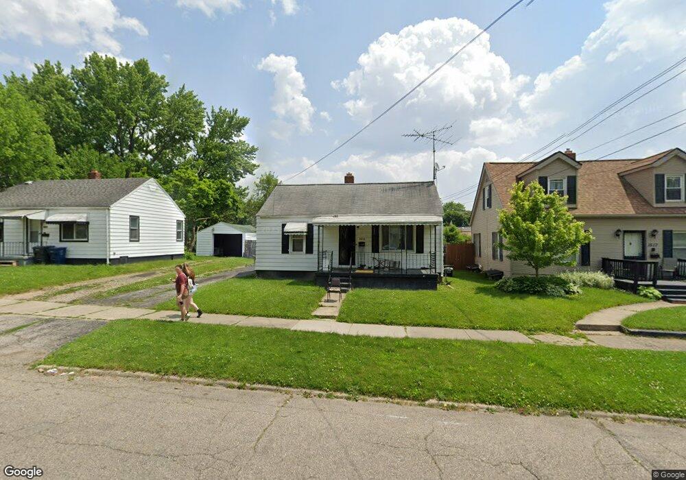
1513 Knight Ave Flint, MI 48503
Chevrolet NeighborhoodEstimated Value: $35,000 - $51,000
2
Beds
1
Bath
660
Sq Ft
$67/Sq Ft
Est. Value
About This Home
This home is located at 1513 Knight Ave, Flint, MI 48503 and is currently estimated at $44,473, approximately $67 per square foot. 1513 Knight Ave is a home located in Genesee County with nearby schools including Durant-Tuuri-Mott Elementary School, Flint Southwestern Classical Academy, and St. Paul Lutheran School.
Ownership History
Date
Name
Owned For
Owner Type
Purchase Details
Closed on
Aug 9, 2021
Sold by
Willie Ross
Bought by
Ross Quentina
Current Estimated Value
Purchase Details
Closed on
Jun 30, 2020
Sold by
Gould Daniel J and Gould Sarah E
Bought by
Ross Willie and Ross Quentina
Purchase Details
Closed on
Jun 14, 2019
Sold by
Gould William Lester
Bought by
Gould William L and Gould Sarah E
Purchase Details
Closed on
Nov 11, 2015
Sold by
Guerrieri Sarah and Guerrieri Edward
Bought by
Gould William Lester
Purchase Details
Closed on
Sep 26, 2013
Sold by
Guerrieri Edward and Turnbull Charmane
Bought by
Gould William Lester
Create a Home Valuation Report for This Property
The Home Valuation Report is an in-depth analysis detailing your home's value as well as a comparison with similar homes in the area
Home Values in the Area
Average Home Value in this Area
Purchase History
| Date | Buyer | Sale Price | Title Company |
|---|---|---|---|
| Ross Quentina | -- | None Listed On Document | |
| Ross Willie | $12,500 | Sargents Title Company | |
| Gould William L | -- | None Available | |
| Gould William Lester | $12,500 | Attorney | |
| Gould William Lester | -- | First American Title Ins Co |
Source: Public Records
Tax History Compared to Growth
Tax History
| Year | Tax Paid | Tax Assessment Tax Assessment Total Assessment is a certain percentage of the fair market value that is determined by local assessors to be the total taxable value of land and additions on the property. | Land | Improvement |
|---|---|---|---|---|
| 2025 | $908 | $20,400 | $0 | $0 |
| 2024 | $825 | $18,900 | $0 | $0 |
| 2023 | $812 | $14,600 | $0 | $0 |
| 2022 | $0 | $12,300 | $0 | $0 |
| 2021 | $842 | $10,600 | $0 | $0 |
| 2020 | $703 | $9,200 | $0 | $0 |
| 2019 | $720 | $9,700 | $0 | $0 |
| 2018 | $755 | $10,500 | $0 | $0 |
| 2017 | $734 | $0 | $0 | $0 |
| 2016 | $730 | $0 | $0 | $0 |
| 2015 | -- | $0 | $0 | $0 |
| 2014 | -- | $0 | $0 | $0 |
| 2012 | -- | $13,600 | $0 | $0 |
Source: Public Records
Map
Nearby Homes
- 1326 Hughes Ave
- 1414 Knapp Ave
- 2926 Yale St
- 1318 Knapp Ave
- 3001 Yale St
- 3214 Clairmont St
- 3217 Arlene Ave
- 1126 Clancy Ave
- 1202 Knapp Ave
- 1114 Clancy Ave
- 3305 Larchmont St
- 1122 Stocker Ave
- 1217 Barney Ave
- 1308 Barney Ave
- 3402 Brandon St
- 2618 Brown St
- 2608 Cumings Ave
- 1017 Stocker Ave
- 3413 Augusta St
- 1516 Gainey Ave
- 1509 Knight Ave
- 1517 Knight Ave
- 1514 Clancy Ave
- 1505 Knight Ave
- 1510 Clancy Ave
- 1518 Clancy Ave
- 1506 Clancy Ave Unit Bldg-Unit
- 1506 Clancy Ave
- 1427 Knight Ave
- 1518 Knight Ave
- 1514 Knight Ave
- 1426 Clancy Ave
- 1522 Knight Ave
- 1425 Knight Ave
- 1506 Knight Ave
- 1502 Knight Ave
- 1421 Knight Ave
- 1422 Clancy Ave
- 1602 Knight Ave
- 1426 Knight Ave