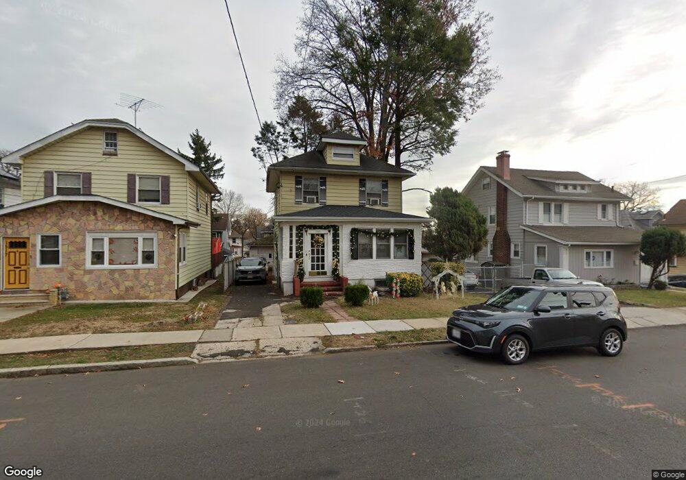
1513 Maple Ave Hillside, NJ 07205
Estimated Value: $355,629 - $473,000
Studio
--
Bath
1,403
Sq Ft
$289/Sq Ft
Est. Value
About This Home
This home is located at 1513 Maple Ave, Hillside, NJ 07205 and is currently estimated at $404,907, approximately $288 per square foot. 1513 Maple Ave is a home located in Union County with nearby schools including Abram P. Morris-Saybrook Elementary School, Ola Edwards Community School, and Hurden Looker School.
Ownership History
Date
Name
Owned For
Owner Type
Purchase Details
Closed on
Dec 15, 2003
Sold by
Meton Stefano
Bought by
Gilchrist Randolph and Gilchrist Cassaundra
Current Estimated Value
Home Financials for this Owner
Home Financials are based on the most recent Mortgage that was taken out on this home.
Original Mortgage
$210,000
Outstanding Balance
$98,193
Interest Rate
6.01%
Estimated Equity
$306,714
Purchase Details
Closed on
Aug 3, 2001
Sold by
Schutt Gladys and Baron Antoine
Bought by
Meton Stefano and Mercado Diosana
Home Financials for this Owner
Home Financials are based on the most recent Mortgage that was taken out on this home.
Original Mortgage
$142,858
Interest Rate
7.1%
Purchase Details
Closed on
Nov 25, 1998
Sold by
Viaud Ovilia and Viaud Jean Marie
Bought by
Schutt Gladys and Baron Antoine
Create a Home Valuation Report for This Property
The Home Valuation Report is an in-depth analysis detailing your home's value as well as a comparison with similar homes in the area
Home Values in the Area
Average Home Value in this Area
Purchase History
| Date | Buyer | Sale Price | Title Company |
|---|---|---|---|
| Gilchrist Randolph | $210,000 | -- | |
| Meton Stefano | $145,100 | -- | |
| Schutt Gladys | -- | Lawyers Title Insurance Corp |
Source: Public Records
Mortgage History
| Date | Status | Borrower | Loan Amount |
|---|---|---|---|
| Open | Gilchrist Randolph | $210,000 | |
| Previous Owner | Meton Stefano | $142,858 |
Source: Public Records
Tax History
| Year | Tax Paid | Tax Assessment Tax Assessment Total Assessment is a certain percentage of the fair market value that is determined by local assessors to be the total taxable value of land and additions on the property. | Land | Improvement |
|---|---|---|---|---|
| 2025 | $6,809 | $82,500 | $40,700 | $41,800 |
| 2024 | $6,611 | $82,500 | $40,700 | $41,800 |
| 2023 | $6,611 | $82,500 | $40,700 | $41,800 |
| 2022 | $6,550 | $82,500 | $40,700 | $41,800 |
| 2021 | $6,507 | $82,500 | $40,700 | $41,800 |
| 2020 | $6,469 | $82,500 | $40,700 | $41,800 |
| 2019 | $6,343 | $82,500 | $40,700 | $41,800 |
| 2018 | $6,280 | $82,500 | $40,700 | $41,800 |
| 2017 | $6,242 | $82,500 | $40,700 | $41,800 |
| 2016 | $6,235 | $82,500 | $40,700 | $41,800 |
| 2015 | $6,179 | $82,500 | $40,700 | $41,800 |
| 2014 | $6,082 | $82,500 | $40,700 | $41,800 |
Source: Public Records
Map
Nearby Homes
- 1437 Parkview Terrace
- 1431 Compton Terrace
- 75 Hillside Ave
- 1570-72 Clinton Place
- 1406 Maple Ave
- 261 Winans Ave
- 1414 Boa Place Unit 2
- 1444 N Broad St
- 151 Keer Ave
- 277 Clark St
- 95 Keer Ave
- 91 Keer Ave Unit 95
- 1442 Highland Ave
- 236-238 Keer Ave
- 61-63 Keer Ave
- 61 Keer Ave Unit 63
- 1603 Bayview Ave
- 1470B Liberty Ave
- 203-205 Hansbury Ave
- 252 Keer Ave
Your Personal Tour Guide
Ask me questions while you tour the home.