Estimated Value: $126,000
--
Bed
1
Bath
980
Sq Ft
$129/Sq Ft
Est. Value
About This Home
This home is located at 1513 Sam Nunn Blvd, Perry, GA 31069 and is currently priced at $126,000, approximately $128 per square foot. 1513 Sam Nunn Blvd is a home located in Houston County with nearby schools including Langston Road Elementary School, Perry Middle School, and Perry High School.
Ownership History
Date
Name
Owned For
Owner Type
Purchase Details
Closed on
Aug 31, 2022
Sold by
Kirtida Patel
Bought by
Gracie Homes Llc and Sf & Rf Real Estate Llc
Current Estimated Value
Home Financials for this Owner
Home Financials are based on the most recent Mortgage that was taken out on this home.
Original Mortgage
$637,500
Interest Rate
4.99%
Mortgage Type
Construction
Purchase Details
Closed on
Apr 15, 2011
Sold by
Patel Navinchandra and Patel Manish Natavarial
Bought by
Patel Kirtida
Create a Home Valuation Report for This Property
The Home Valuation Report is an in-depth analysis detailing your home's value as well as a comparison with similar homes in the area
Home Values in the Area
Average Home Value in this Area
Purchase History
| Date | Buyer | Sale Price | Title Company |
|---|---|---|---|
| Gracie Homes Llc | $750,000 | Daniel Lawson Tuggle & Jerles | |
| Patel Kirtida | -- | None Available |
Source: Public Records
Mortgage History
| Date | Status | Borrower | Loan Amount |
|---|---|---|---|
| Closed | Gracie Homes Llc | $637,500 |
Source: Public Records
Tax History Compared to Growth
Tax History
| Year | Tax Paid | Tax Assessment Tax Assessment Total Assessment is a certain percentage of the fair market value that is determined by local assessors to be the total taxable value of land and additions on the property. | Land | Improvement |
|---|---|---|---|---|
| 2024 | $6,367 | $173,280 | $172,480 | $800 |
| 2023 | $6,410 | $173,280 | $172,480 | $800 |
| 2022 | $3,984 | $173,280 | $172,480 | $800 |
| 2021 | $4,001 | $173,080 | $172,480 | $600 |
| 2020 | $4,021 | $173,080 | $172,480 | $600 |
| 2019 | $4,135 | $178,000 | $172,480 | $5,520 |
| 2018 | $4,135 | $178,000 | $172,480 | $5,520 |
| 2017 | $4,140 | $178,040 | $172,480 | $5,560 |
| 2016 | $4,147 | $178,040 | $172,480 | $5,560 |
| 2015 | $4,155 | $178,040 | $172,480 | $5,560 |
| 2014 | -- | $178,040 | $172,480 | $5,560 |
| 2013 | -- | $178,040 | $172,480 | $5,560 |
Source: Public Records
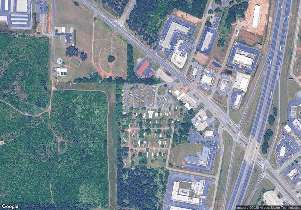
Map
Nearby Homes
- 103 Steeple Ct
- 302 Charles Gray Blvd
- 309 Charles Gray Blvd
- 128 Kenmore Cir Unit 15
- 126 Kenmore Cir Unit 14
- 124 Kenmore Cir Unit 13
- 113 Kenmore Cir Unit 138
- 115 Kenmore Cir Unit 139
- 117 Kenmore Cir Unit 140
- 113 Kenmore Cir
- 124 Kenmore Cir
- 126 Kenmore Cir
- 128 Kenmore Cir
- 115 Kenmore Cir
- 117 Kenmore Cir
- 119 Kenmore Cir
- 121 Kenmore Cir
- 123 Kenmore Cir
- 200 Charles Gray Blvd
- 202 Charles Gray Blvd
- 201 Charles Gray Blvd
- 0 Sam Nunn Blvd
- 204 Charles Gray Blvd
- 203 Charles Gray Blvd
- 100 Steeple Ct
- 100 Steeple Ct Unit 185
- 205 Charles Gray Blvd
- 102 Steeple Ct
- 206 Charles Gray Blvd
- 101 Steeple Ct
- 208 Charles Gray Blvd
- 207 Charles Gray Blvd
- 104 Steeple Ct
- 0 Charles Gray Blvd
- 0 Charles Gray Blvd Unit 20084665
- 0 Charles Gray Blvd Unit 226857
- 0 Charles Gray Blvd Unit 216892
- 0 Charles Gray Blvd Unit 3122817