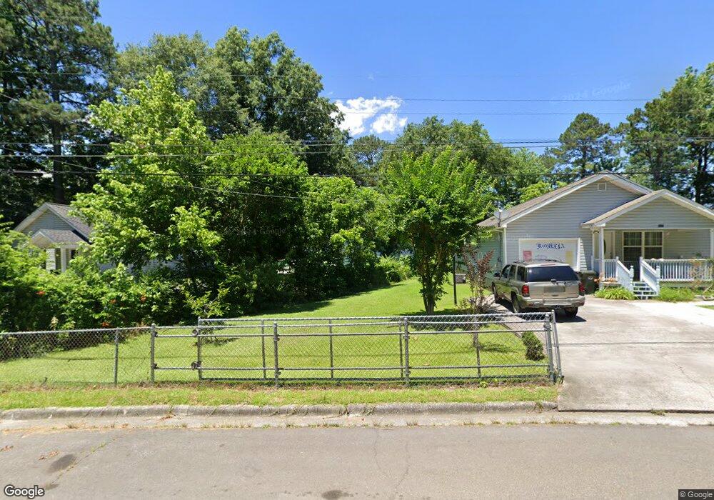
1513 Shady Ln Dalton, GA 30721
Estimated Value: $141,783 - $155,000
--
Bed
1
Bath
806
Sq Ft
$185/Sq Ft
Est. Value
About This Home
This home is located at 1513 Shady Ln, Dalton, GA 30721 and is currently estimated at $149,446, approximately $185 per square foot. 1513 Shady Ln is a home located in Whitfield County with nearby schools including Roan Elementary School, Dalton Middle School, and Dalton High School.
Ownership History
Date
Name
Owned For
Owner Type
Purchase Details
Closed on
May 19, 2025
Sold by
Gentry Jamie D
Bought by
Shady Lane Series and Gentry Properties Llc
Current Estimated Value
Purchase Details
Closed on
Mar 25, 2021
Sold by
Randall Stamey David
Bought by
Stamey Patricia Ann
Home Financials for this Owner
Home Financials are based on the most recent Mortgage that was taken out on this home.
Original Mortgage
$112,880
Interest Rate
2.9%
Mortgage Type
New Conventional
Purchase Details
Closed on
Nov 21, 2019
Sold by
Stamey David Ramdall
Bought by
Stamey Patricia Ann
Create a Home Valuation Report for This Property
The Home Valuation Report is an in-depth analysis detailing your home's value as well as a comparison with similar homes in the area
Home Values in the Area
Average Home Value in this Area
Purchase History
| Date | Buyer | Sale Price | Title Company |
|---|---|---|---|
| Shady Lane Series | -- | None Listed On Document | |
| Shady Lane Series | -- | None Listed On Document | |
| Stamey Patricia Ann | -- | Purcell Law Firm Pc | |
| Gentry Jamie | $110,000 | -- | |
| Stamey Patricia Ann | -- | -- |
Source: Public Records
Mortgage History
| Date | Status | Borrower | Loan Amount |
|---|---|---|---|
| Previous Owner | Gentry Jamie | $112,880 |
Source: Public Records
Tax History Compared to Growth
Tax History
| Year | Tax Paid | Tax Assessment Tax Assessment Total Assessment is a certain percentage of the fair market value that is determined by local assessors to be the total taxable value of land and additions on the property. | Land | Improvement |
|---|---|---|---|---|
| 2024 | $1,345 | $42,034 | $8,400 | $33,634 |
| 2023 | $835 | $24,252 | $7,400 | $16,852 |
| 2022 | $630 | $18,305 | $5,400 | $12,905 |
| 2021 | $631 | $18,305 | $5,400 | $12,905 |
| 2020 | $656 | $18,305 | $5,400 | $12,905 |
| 2019 | $676 | $18,305 | $5,400 | $12,905 |
| 2018 | $686 | $18,305 | $5,400 | $12,905 |
| 2017 | $661 | $18,305 | $5,400 | $12,905 |
| 2016 | $548 | $15,098 | $3,360 | $11,738 |
| 2014 | $498 | $15,098 | $3,360 | $11,738 |
| 2013 | -- | $15,097 | $3,360 | $11,737 |
Source: Public Records
Map
Nearby Homes
- 311 Shady Ln
- 0 Underwood St Unit 129860
- 502 E Woodland Dr
- 606 Virginia Ave
- 1326 Veterans Dr
- 916 Avenue E
- 301B Fields Ave
- 1493 Hale Bowen Dr
- 717 Morningside Dr
- 940 Avenue E
- 825 Martin Luther King jr Blvd
- 601 Stillwood Dr
- 540 Stillwood Dr
- 928 Avenue C
- 0 Dogwood Dr
- 533 Underwood St
- 204 N Bogle St
- 1118 Dozier St