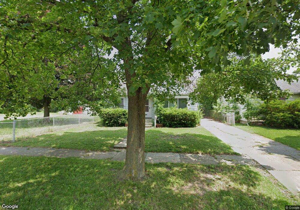
1513 Stocker Ave Flint, MI 48503
Chevrolet NeighborhoodEstimated Value: $68,000 - $91,000
3
Beds
2
Baths
1,177
Sq Ft
$66/Sq Ft
Est. Value
About This Home
This home is located at 1513 Stocker Ave, Flint, MI 48503 and is currently estimated at $77,577, approximately $65 per square foot. 1513 Stocker Ave is a home located in Genesee County with nearby schools including Durant-Tuuri-Mott Elementary School, Flint Southwestern Classical Academy, and St. Paul Lutheran School.
Ownership History
Date
Name
Owned For
Owner Type
Purchase Details
Closed on
Dec 30, 2025
Sold by
Wells Fargo Bank Na
Bought by
Payne Ashley Nicole
Current Estimated Value
Purchase Details
Closed on
Feb 26, 2025
Sold by
Genesee County
Bought by
Wells Fargo Bank Na
Purchase Details
Closed on
Oct 22, 2009
Sold by
Degroot Julie Ann
Bought by
Hester Tonia S
Purchase Details
Closed on
Jul 12, 2005
Sold by
Degroot Jonathan E
Bought by
Degroot Julie Ann
Create a Home Valuation Report for This Property
The Home Valuation Report is an in-depth analysis detailing your home's value as well as a comparison with similar homes in the area
Home Values in the Area
Average Home Value in this Area
Purchase History
| Date | Buyer | Sale Price | Title Company |
|---|---|---|---|
| Payne Ashley Nicole | $21,600 | None Listed On Document | |
| Wells Fargo Bank Na | $34,830 | None Listed On Document | |
| Hester Tonia S | $35,000 | Lighthouse Title Inc | |
| Degroot Julie Ann | -- | -- |
Source: Public Records
Tax History
| Year | Tax Paid | Tax Assessment Tax Assessment Total Assessment is a certain percentage of the fair market value that is determined by local assessors to be the total taxable value of land and additions on the property. | Land | Improvement |
|---|---|---|---|---|
| 2025 | $1,174 | $33,400 | $0 | $0 |
| 2024 | $1,057 | $31,400 | $0 | $0 |
| 2023 | $1,034 | $23,900 | $0 | $0 |
| 2022 | $0 | $20,400 | $0 | $0 |
| 2021 | $1,079 | $17,600 | $0 | $0 |
| 2020 | $967 | $15,700 | $0 | $0 |
| 2019 | $938 | $15,800 | $0 | $0 |
| 2018 | $952 | $17,700 | $0 | $0 |
| 2017 | $924 | $0 | $0 | $0 |
| 2016 | $918 | $0 | $0 | $0 |
| 2015 | -- | $0 | $0 | $0 |
| 2014 | -- | $0 | $0 | $0 |
| 2012 | -- | $18,600 | $0 | $0 |
Source: Public Records
Map
Nearby Homes
- 3217 Arlene Ave
- 3205 Clairmont St
- 3317 Arlene Ave
- 3310 Larchmont St
- 1308 Barney Ave
- 1122 Stocker Ave
- 3402 Brandon St
- 3413 Augusta St
- 3510 Hogarth Ave
- 1412 S Ballenger Hwy
- 3506 Chicago Blvd
- 1114 Clancy Ave
- 2729 Chicago Blvd
- 1017 Stocker Ave
- 2805 Reynolds St
- 3825 Arlene Ave
- 3801 Augusta St
- 1555 Bradley Ave
- 3102 Westwood Pkwy
- 2618 Brown St
- 1510 Knapp Ave
- 1501 Stocker Ave
- 1514 Knapp Ave
- 1506 Knapp Ave
- 1518 Knapp Ave
- 1502 Knapp Ave
- 3201 Arlene Ave
- 1421 Stocker Ave
- 1422 Knapp Ave
- 3206 Herrick St
- 3205 Arlene Ave
- 1417 Stocker Ave
- 1601 Stocker Ave
- 1418 Knapp Ave
- 3210 Herrick St
- 1602 Knapp Ave
- 1413 Stocker Ave
- 1418 Stocker Ave
- 3213 Arlene Ave
- 1605 Stocker Ave
Your Personal Tour Guide
Ask me questions while you tour the home.