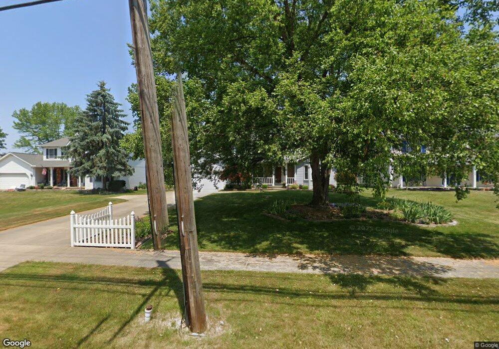
15138 Whitney Rd Strongsville, OH 44136
Estimated Value: $342,000 - $397,000
4
Beds
3
Baths
2,214
Sq Ft
$169/Sq Ft
Est. Value
About This Home
This home is located at 15138 Whitney Rd, Strongsville, OH 44136 and is currently estimated at $373,162, approximately $168 per square foot. 15138 Whitney Rd is a home located in Cuyahoga County with nearby schools including Strongsville High School, Bethel Christian Academy, and Sts Joseph & John Interparochial School.
Ownership History
Date
Name
Owned For
Owner Type
Purchase Details
Closed on
Nov 9, 1989
Bought by
Mazurowski Mildred M
Current Estimated Value
Purchase Details
Closed on
Jan 17, 1989
Sold by
Ryan Operations Gp A
Bought by
E & T Carpentry, Inc
Purchase Details
Closed on
Jan 28, 1988
Bought by
Ryan Operations Gp A
Purchase Details
Closed on
Jan 1, 1988
Bought by
New Concord Homes
Create a Home Valuation Report for This Property
The Home Valuation Report is an in-depth analysis detailing your home's value as well as a comparison with similar homes in the area
Home Values in the Area
Average Home Value in this Area
Purchase History
| Date | Buyer | Sale Price | Title Company |
|---|---|---|---|
| Mazurowski Mildred M | $139,900 | -- | |
| E & T Carpentry, Inc | -- | -- | |
| Ryan Operations Gp A | -- | -- | |
| New Concord Homes | -- | -- |
Source: Public Records
Tax History Compared to Growth
Tax History
| Year | Tax Paid | Tax Assessment Tax Assessment Total Assessment is a certain percentage of the fair market value that is determined by local assessors to be the total taxable value of land and additions on the property. | Land | Improvement |
|---|---|---|---|---|
| 2024 | $5,183 | $120,190 | $17,780 | $102,410 |
| 2023 | $5,194 | $92,120 | $19,600 | $72,520 |
| 2022 | $5,182 | $92,120 | $19,600 | $72,520 |
| 2021 | $5,141 | $92,120 | $19,600 | $72,520 |
| 2020 | $4,926 | $79,420 | $16,910 | $62,510 |
| 2019 | $4,782 | $226,900 | $48,300 | $178,600 |
| 2018 | $4,185 | $79,420 | $16,910 | $62,510 |
| 2017 | $4,106 | $70,640 | $15,090 | $55,550 |
| 2016 | $4,072 | $70,640 | $15,090 | $55,550 |
| 2015 | $3,992 | $70,640 | $15,090 | $55,550 |
| 2014 | $3,992 | $68,570 | $14,630 | $53,940 |
Source: Public Records
Map
Nearby Homes
- 9129 Tahoe Cir
- 9890 Webster Rd
- 10010 Chevy Chase
- 9531 Nicole Cir
- 9945 Twelve Oaks Cir
- Buchanan Plan at The Enclave at Pine Lakes Crossing
- Belleville Plan at The Enclave at Pine Lakes Crossing
- 13976 W Sprague Rd
- 14015 Byron Blvd
- 0 Webster Rd
- 10369 Council Bluff
- 15485 Albion Rd
- 7685 Saratoga Rd
- 14069 Basswood Cir
- 8761 Windfall Ct
- 16519 Albion Rd
- 7664 Gerald Dr
- 14584 Baywood Ln
- 14557 Baywood Ln
- 14644 Baywood Ln
- 15104 Whitney Rd
- 15172 Whitney Rd
- 15157 Dewitt Dr
- 15206 Whitney Rd
- 15070 Whitney Rd
- 15123 Dewitt Dr
- 15193 Dewitt Dr
- 15145 Whitney Rd
- 15056 Whitney Rd
- 15227 Dewitt Dr
- 15105 Whitney Rd
- 15189 Whitney Rd
- 15240 Whitney Rd
- 15087 Dewitt Dr
- 15065 Whitney Rd
- 15261 Dewitt Dr
- 15233 Whitney Rd
- 15016 Whitney Rd
- 15066 Dewitt Dr
- 15017 Whitney Rd