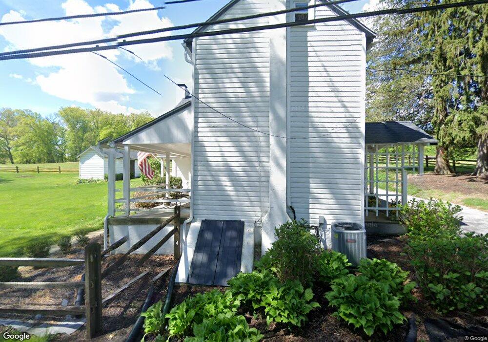
1514 Morstein Rd Malvern, PA 19355
Estimated Value: $532,000 - $745,000
3
Beds
2
Baths
2,016
Sq Ft
$316/Sq Ft
Est. Value
About This Home
This home is located at 1514 Morstein Rd, Malvern, PA 19355 and is currently estimated at $636,377, approximately $315 per square foot. 1514 Morstein Rd is a home located in Chester County with nearby schools including Sugartown Elementary School, Great Valley Middle School, and Great Valley High School.
Ownership History
Date
Name
Owned For
Owner Type
Purchase Details
Closed on
Dec 4, 2003
Sold by
Peduto Louis and Peduto Jean Hughes
Bought by
Mcweeny James E and Mcweeny Virginia R
Current Estimated Value
Home Financials for this Owner
Home Financials are based on the most recent Mortgage that was taken out on this home.
Original Mortgage
$226,000
Outstanding Balance
$105,309
Interest Rate
5.96%
Mortgage Type
Purchase Money Mortgage
Estimated Equity
$531,068
Purchase Details
Closed on
Sep 27, 1996
Sold by
Williams Elizabeth M and Riepen Diann W
Bought by
Peduto Louis and Peduto Jean Hughes
Home Financials for this Owner
Home Financials are based on the most recent Mortgage that was taken out on this home.
Original Mortgage
$144,000
Interest Rate
13.25%
Create a Home Valuation Report for This Property
The Home Valuation Report is an in-depth analysis detailing your home's value as well as a comparison with similar homes in the area
Home Values in the Area
Average Home Value in this Area
Purchase History
| Date | Buyer | Sale Price | Title Company |
|---|---|---|---|
| Mcweeny James E | $282,500 | -- | |
| Peduto Louis | $180,000 | -- |
Source: Public Records
Mortgage History
| Date | Status | Borrower | Loan Amount |
|---|---|---|---|
| Open | Mcweeny James E | $226,000 | |
| Previous Owner | Peduto Louis | $144,000 |
Source: Public Records
Tax History Compared to Growth
Tax History
| Year | Tax Paid | Tax Assessment Tax Assessment Total Assessment is a certain percentage of the fair market value that is determined by local assessors to be the total taxable value of land and additions on the property. | Land | Improvement |
|---|---|---|---|---|
| 2025 | $4,918 | $171,630 | $63,960 | $107,670 |
| 2024 | $4,918 | $171,630 | $63,960 | $107,670 |
| 2023 | $4,791 | $171,630 | $63,960 | $107,670 |
| 2022 | $4,695 | $171,630 | $63,960 | $107,670 |
| 2021 | $4,601 | $171,630 | $63,960 | $107,670 |
| 2020 | $4,525 | $171,630 | $63,960 | $107,670 |
| 2019 | $4,481 | $171,630 | $63,960 | $107,670 |
| 2018 | $4,396 | $171,630 | $63,960 | $107,670 |
| 2017 | $4,396 | $171,630 | $63,960 | $107,670 |
| 2016 | $3,947 | $171,630 | $63,960 | $107,670 |
| 2015 | $3,947 | $171,630 | $63,960 | $107,670 |
| 2014 | $3,947 | $171,630 | $63,960 | $107,670 |
Source: Public Records
Map
Nearby Homes
- 13 Anthony Dr
- 1414 Morstein Rd
- 1237 W King Rd
- THE GREENBRIAR - Rd
- THE PRESCOTT - Millstone Circle- Gps 1010 Hershey Mill Rd
- THE WARREN - Millstone Circle -Gps 1010 Hershey Mill Rd
- THE WARREN -
- THE PRESCOTT - Millstone Circle ( Gps 1010 Hershey Mill Road)
- The Delchester - Rd
- THE DELCHESTER
- THE GREENBRIAR - Millstone Circle (Gps 1010 Hershey Mill Road)
- 1401 Old Phoenixville Pike
- 1203 Upton Cir
- 1200 Waterford Rd
- 1201 King Rd
- 629 Glenwood Ln
- 1577 Vassar Ct
- 1243 Princeton Ln
- 1100 Vernon Way
- 600 Franklin Way
- 1486 Morstein Rd
- 24 Anthony Dr
- 22 Anthony Dr
- 26 Anthony Dr
- 1524 Morstein Rd
- 1521 Morstein Rd
- 28 Anthony Dr
- 20 Anthony Dr
- 1522 Morstein Rd
- 30 Anthony Dr
- 18 Anthony Dr
- 2 Collegeview Dr
- 16 Anthony Dr
- 1375 Morstein Rd
- 4 Collegeview Dr
- 15 Anthony Dr
- 17 Anthony Dr
- 1 Collegeview Dr
- 11 Anthony Dr
- 14 Anthony Dr