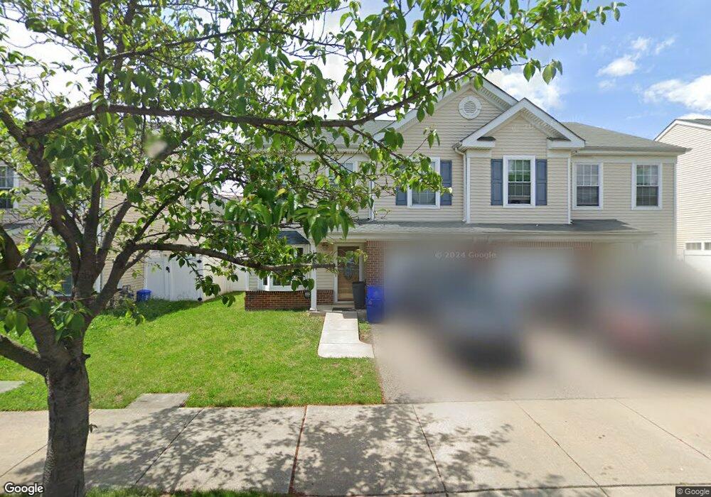
1514 N Uber St Philadelphia, PA 19121
North Philadelphia West NeighborhoodEstimated Value: $248,000 - $266,000
4
Beds
1
Bath
1,527
Sq Ft
$169/Sq Ft
Est. Value
About This Home
This home is located at 1514 N Uber St, Philadelphia, PA 19121 and is currently estimated at $258,511, approximately $169 per square foot. 1514 N Uber St is a home located in Philadelphia County with nearby schools including Gen. George C. Meade School, Vaux High School: A. Big Picture School, and Alliance for Progress Charter School.
Ownership History
Date
Name
Owned For
Owner Type
Purchase Details
Closed on
Dec 5, 2006
Sold by
Housing Enrichment Renaissance Board Com
Bought by
Mcgee Stacey T
Current Estimated Value
Home Financials for this Owner
Home Financials are based on the most recent Mortgage that was taken out on this home.
Original Mortgage
$78,375
Outstanding Balance
$46,520
Interest Rate
6.18%
Mortgage Type
Purchase Money Mortgage
Estimated Equity
$211,991
Create a Home Valuation Report for This Property
The Home Valuation Report is an in-depth analysis detailing your home's value as well as a comparison with similar homes in the area
Home Values in the Area
Average Home Value in this Area
Purchase History
| Date | Buyer | Sale Price | Title Company |
|---|---|---|---|
| Mcgee Stacey T | $82,500 | Commonwealth Title |
Source: Public Records
Mortgage History
| Date | Status | Borrower | Loan Amount |
|---|---|---|---|
| Open | Mcgee Stacey T | $78,375 |
Source: Public Records
Tax History Compared to Growth
Tax History
| Year | Tax Paid | Tax Assessment Tax Assessment Total Assessment is a certain percentage of the fair market value that is determined by local assessors to be the total taxable value of land and additions on the property. | Land | Improvement |
|---|---|---|---|---|
| 2025 | $2,417 | $229,000 | $45,800 | $183,200 |
| 2024 | $2,417 | $229,000 | $45,800 | $183,200 |
| 2023 | $3,544 | $229,000 | $45,800 | $183,200 |
| 2022 | $2,914 | $208,200 | $50,640 | $157,560 |
| 2021 | $1,611 | $0 | $0 | $0 |
| 2020 | $1,611 | $0 | $0 | $0 |
| 2019 | $1,820 | $0 | $0 | $0 |
| 2018 | $1,540 | $0 | $0 | $0 |
| 2017 | $1,540 | $0 | $0 | $0 |
| 2016 | $229 | $0 | $0 | $0 |
| 2015 | $219 | $0 | $0 | $0 |
| 2014 | -- | $110,000 | $16,341 | $93,659 |
| 2012 | -- | $15,072 | $2,176 | $12,896 |
Source: Public Records
Map
Nearby Homes
- 1416 N Gratz St
- 1817 W Oxford St
- 2017 W Oxford St
- 2023 W Oxford St
- 1833 W Master St
- 2040 Ridge Ave
- 2035 W Oxford St
- 1624 N Gratz St
- 2041 W Oxford St
- 1844 W Master St
- 1842 W Master St
- 1630 N Gratz St
- 1840 W Master St
- 1732 W Oxford St
- 1711 W Jefferson St
- 1923 Ingersoll St
- 1934 Cecil b Moore Ave
- 2002 Cecil b Moore Ave
- 2108-10 Ridge Ave
- 1720 W Oxford St